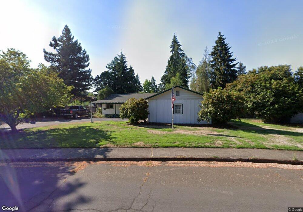
1530 Em Ray Dr Eugene, OR 97405
Crest Drive NeighborhoodEstimated Value: $467,000 - $536,000
3
Beds
2
Baths
1,670
Sq Ft
$299/Sq Ft
Est. Value
About This Home
This home is located at 1530 Em Ray Dr, Eugene, OR 97405 and is currently estimated at $499,747, approximately $299 per square foot. 1530 Em Ray Dr is a home located in Lane County with nearby schools including Adams Elementary School, Arts And Technology Academy At Jefferson, and Churchill High School.
Ownership History
Date
Name
Owned For
Owner Type
Purchase Details
Closed on
Jul 8, 2016
Sold by
Schellenger Richard Bennett and Schellenger Roberta Lynn
Bought by
Roelof James and Roelof Suzanne
Current Estimated Value
Home Financials for this Owner
Home Financials are based on the most recent Mortgage that was taken out on this home.
Original Mortgage
$236,000
Outstanding Balance
$187,750
Interest Rate
3.64%
Mortgage Type
New Conventional
Estimated Equity
$311,997
Create a Home Valuation Report for This Property
The Home Valuation Report is an in-depth analysis detailing your home's value as well as a comparison with similar homes in the area
Home Values in the Area
Average Home Value in this Area
Purchase History
| Date | Buyer | Sale Price | Title Company |
|---|---|---|---|
| Roelof James | $295,000 | Fidelity Natl Title Co Of Or |
Source: Public Records
Mortgage History
| Date | Status | Borrower | Loan Amount |
|---|---|---|---|
| Open | Roelof James | $236,000 |
Source: Public Records
Tax History
| Year | Tax Paid | Tax Assessment Tax Assessment Total Assessment is a certain percentage of the fair market value that is determined by local assessors to be the total taxable value of land and additions on the property. | Land | Improvement |
|---|---|---|---|---|
| 2025 | $5,385 | $276,393 | -- | -- |
| 2024 | $5,318 | $268,343 | -- | -- |
| 2023 | $5,318 | $260,528 | $0 | $0 |
| 2022 | $4,982 | $252,940 | $0 | $0 |
| 2021 | $4,680 | $245,573 | $0 | $0 |
| 2020 | $4,696 | $238,421 | $0 | $0 |
| 2019 | $4,508 | $231,477 | $0 | $0 |
| 2018 | $4,187 | $218,189 | $0 | $0 |
| 2017 | $3,949 | $218,189 | $0 | $0 |
| 2016 | $3,830 | $211,834 | $0 | $0 |
| 2015 | $3,706 | $205,664 | $0 | $0 |
| 2014 | $3,611 | $199,674 | $0 | $0 |
Source: Public Records
Map
Nearby Homes
- 0 Mclean Blvd Unit 24671448
- 0 Mclean Blvd Unit 697374759
- 3087 Whitbeck Blvd
- 1783 Graham Dr
- 3160 Whitten Dr
- 2030 W 34th Ave
- 1 Storey Blvd
- 2 Storey Blvd
- 0 W 40th Ave Unit 3 545854116
- 0 W 40th Ave Unit 3 639571582
- 3023 Ashley Loop
- 3854 Monroe St
- 806 Sundance St
- 2850 Garfield St
- 4040 Southpointe Dr
- 0 Hidden Meadows
- 605 Fulvue Dr
- 3093 Soloman Loop
- 2673 Garfield St
- 453 Dellwood Dr
- 1540 Em Ray Dr
- 1625 Lorane Hwy
- 1510 Em Ray Dr
- 1635 Lorane Hwy
- 1655 Lorane Hwy
- 1560 Em Ray Dr
- 1645 Lorane Hwy
- 1555 Em Ray Dr
- 1515 Em Ray Dr
- 1665 Lorane Hwy
- 1505 Em Ray Dr
- 1570 Em Ray Dr
- 1675 Lorane Hwy
- 1506 Lorane Hwy
- 1498 Lorane Hwy
- 1620 Lorane Hwy
- 1502 Lorane Hwy
- 1615 Em Ray Dr
- 3350 Fillmore St
- 1590 Em Ray Dr
Your Personal Tour Guide
Ask me questions while you tour the home.