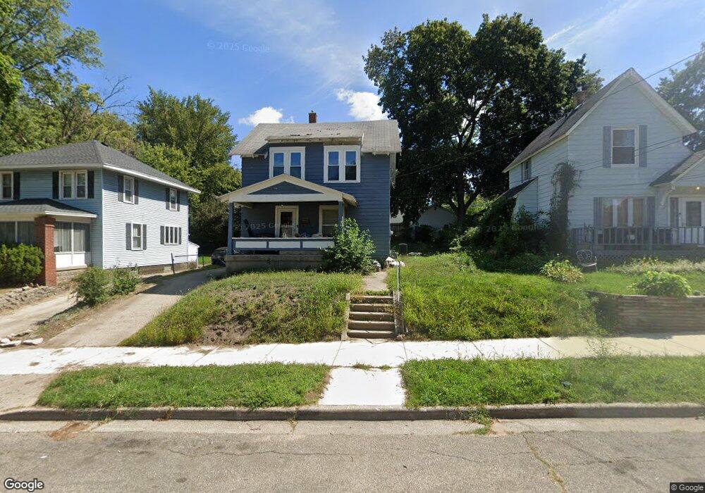
1530 Forrest Ave NE Grand Rapids, MI 49505
Creston NeighborhoodEstimated Value: $202,975 - $220,000
3
Beds
1
Bath
1,092
Sq Ft
$193/Sq Ft
Est. Value
About This Home
This home is located at 1530 Forrest Ave NE, Grand Rapids, MI 49505 and is currently estimated at $210,244, approximately $192 per square foot. 1530 Forrest Ave NE is a home located in Kent County with nearby schools including Kent Hills School, Riverside Middle School, and Union High School.
Ownership History
Date
Name
Owned For
Owner Type
Purchase Details
Closed on
Sep 25, 2003
Sold by
Wabeke Linda M
Bought by
Wabeke Aaron M
Current Estimated Value
Home Financials for this Owner
Home Financials are based on the most recent Mortgage that was taken out on this home.
Original Mortgage
$69,882
Outstanding Balance
$33,102
Interest Rate
6.43%
Mortgage Type
FHA
Estimated Equity
$177,142
Purchase Details
Closed on
Jul 17, 1989
Purchase Details
Closed on
May 22, 1989
Purchase Details
Closed on
Mar 12, 1985
Purchase Details
Closed on
Oct 5, 1983
Create a Home Valuation Report for This Property
The Home Valuation Report is an in-depth analysis detailing your home's value as well as a comparison with similar homes in the area
Home Values in the Area
Average Home Value in this Area
Purchase History
| Date | Buyer | Sale Price | Title Company |
|---|---|---|---|
| Wabeke Aaron M | $71,000 | Fatic | |
| -- | $17,000 | -- | |
| -- | $13,700 | -- | |
| -- | $12,000 | -- | |
| -- | $10,000 | -- |
Source: Public Records
Mortgage History
| Date | Status | Borrower | Loan Amount |
|---|---|---|---|
| Open | Wabeke Aaron M | $69,882 |
Source: Public Records
Tax History Compared to Growth
Tax History
| Year | Tax Paid | Tax Assessment Tax Assessment Total Assessment is a certain percentage of the fair market value that is determined by local assessors to be the total taxable value of land and additions on the property. | Land | Improvement |
|---|---|---|---|---|
| 2025 | $942 | $82,000 | $0 | $0 |
| 2024 | $942 | $75,500 | $0 | $0 |
| 2023 | $956 | $55,000 | $0 | $0 |
| 2022 | $908 | $54,500 | $0 | $0 |
| 2021 | $888 | $47,700 | $0 | $0 |
| 2020 | $849 | $41,500 | $0 | $0 |
| 2019 | $889 | $36,400 | $0 | $0 |
| 2018 | $858 | $33,000 | $0 | $0 |
| 2017 | $835 | $25,700 | $0 | $0 |
| 2016 | $846 | $25,100 | $0 | $0 |
| 2015 | $786 | $25,100 | $0 | $0 |
| 2013 | -- | $25,800 | $0 | $0 |
Source: Public Records
Map
Nearby Homes
- 1516 Cole Ave NE
- 443 Quimby St NE
- 310 Sweet St NE
- 1420 Buffalo Ave NE
- 1559 Coit Ave NE
- 1411 Union Ave NE
- 64 Quimby St NE
- 155 Palmer St NE
- 117 Leonard St NE
- 15 Palmer St NE
- 120 Dean St NE
- 143 Dean St NE
- 114 Barnett St NE
- 1922 Coit Ave NE
- 30 Palmer St NW
- 321 Knapp St NE
- 1757 Westlane Dr NE
- 527 Cedar St NE
- 1825 Meadowfield Dr NE
- 2019 Plainfield Ave NE
- 1524 Forrest Ave NE
- 1536 Forrest Ave NE
- 1522 Forrest Ave NE
- 1540 Forrest Ave NE
- 1509 North Ave NE
- 1513 North Ave NE
- 1503 North Ave NE
- 1535 Forrest Ave NE
- 1533 Forrest Ave NE Unit 1535
- 1533 Forrest Ave NE
- 1544 Forrest Ave NE
- 1517 North Ave NE
- 1514 Forrest Ave NE
- 1529 Forrest Ave NE
- 1525 Forrest Ave NE
- 350 Hanover St NE
- 1548 Forrest Ave NE
- 1523 North Ave NE
- 1461 North Ave NE
- 1517 Forrest Ave NE