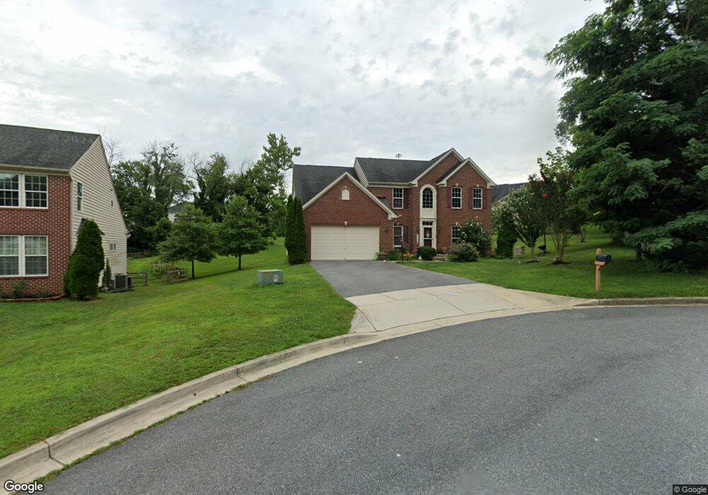
15301 Walker Branch Ct Laurel, MD 20707
West Laurel NeighborhoodEstimated Value: $556,000 - $780,000
--
Bed
3
Baths
2,813
Sq Ft
$242/Sq Ft
Est. Value
About This Home
This home is located at 15301 Walker Branch Ct, Laurel, MD 20707 and is currently estimated at $679,741, approximately $241 per square foot. 15301 Walker Branch Ct is a home located in Prince George's County with nearby schools including Bond Mill Elementary, Martin Luther King Jr. Middle School, and Laurel High School.
Ownership History
Date
Name
Owned For
Owner Type
Purchase Details
Closed on
Sep 9, 2009
Sold by
Nvr Inc
Bought by
Ortiz Ramon and Ortiz Shelia L
Current Estimated Value
Home Financials for this Owner
Home Financials are based on the most recent Mortgage that was taken out on this home.
Original Mortgage
$492,000
Interest Rate
5.21%
Mortgage Type
VA
Purchase Details
Closed on
Mar 31, 2009
Sold by
S&Y Spring Estates L L
Bought by
Nvr Inc
Create a Home Valuation Report for This Property
The Home Valuation Report is an in-depth analysis detailing your home's value as well as a comparison with similar homes in the area
Home Values in the Area
Average Home Value in this Area
Purchase History
| Date | Buyer | Sale Price | Title Company |
|---|---|---|---|
| Ortiz Ramon | $546,727 | -- | |
| Nvr Inc | $155,000 | -- |
Source: Public Records
Mortgage History
| Date | Status | Borrower | Loan Amount |
|---|---|---|---|
| Open | Ortiz Ramon | $492,000 |
Source: Public Records
Tax History Compared to Growth
Tax History
| Year | Tax Paid | Tax Assessment Tax Assessment Total Assessment is a certain percentage of the fair market value that is determined by local assessors to be the total taxable value of land and additions on the property. | Land | Improvement |
|---|---|---|---|---|
| 2024 | $8,442 | $593,900 | $0 | $0 |
| 2023 | $8,173 | $569,700 | $0 | $0 |
| 2022 | $7,817 | $545,500 | $103,600 | $441,900 |
| 2021 | $7,527 | $532,600 | $0 | $0 |
| 2020 | $7,420 | $519,700 | $0 | $0 |
| 2019 | $7,269 | $506,800 | $101,800 | $405,000 |
| 2018 | $6,992 | $476,333 | $0 | $0 |
| 2017 | $7,009 | $445,867 | $0 | $0 |
| 2016 | -- | $415,400 | $0 | $0 |
| 2015 | $6,727 | $415,400 | $0 | $0 |
| 2014 | $6,727 | $415,400 | $0 | $0 |
Source: Public Records
Map
Nearby Homes
- 6403 Park Hall Dr
- 6413 Darwin Rd
- 15603 Darwin Ct
- 15604 Darwin Ct
- 6918 Scotch Dr
- 15708 Bradford Dr
- 6406 Sandy St
- 6942 Scotch Dr
- 15624 Bond Mill Rd
- 15622 Bond Mill Rd
- 15903 Sherwood Ave
- 7011 Fitzpatrick Dr
- 7200 Archsine Ln
- 7208 Cherry Ln
- 7019 Fitzpatrick Dr
- 7314 Archsine Ln
- 1052 Highpoint Trail
- 1023 Flester Ln
- 1106 Overlook Way
- 1037 Highpoint Trail
- 15303 Walker Branch Ct
- 6604 Sandy Spring Rd
- 6600 Sandy Spring Rd
- 6606 Sandy Spring Rd
- 6510 Sandy Spring Rd
- 6510 Old Sandy Spring Rd
- 15305 Walker Branch Ct
- 6511 Sandy Spring Rd
- 15304 Walker Branch Ct
- 6608 Sandy Spring Rd
- 6508 Sandy Spring Rd
- 15306 Walker Branch Ct
- 15402 Misty Pine Rd
- 15307 Walker Branch Ct
- 15404 Misty Pine Rd
- 15407 Calshot Ct
- 15308 Walker Branch Ct
- 15409 Calshot Ct
- 15411 Calshot Ct
- 15400 Misty Pine Rd