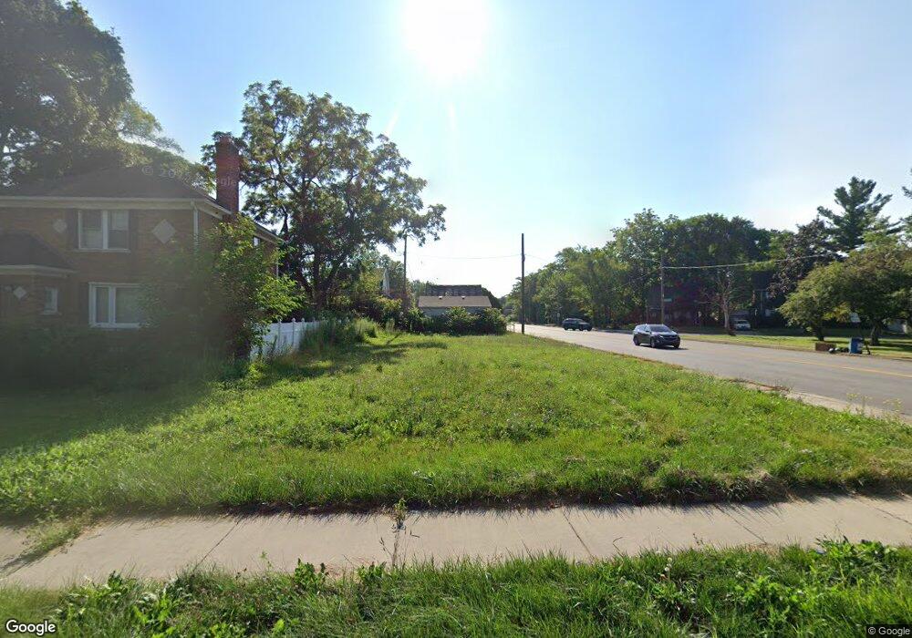
15302 Gilchrist St Detroit, MI 48227
Crary-Saint Marys NeighborhoodEstimated Value: $69,000 - $97,000
--
Bed
1
Bath
1,176
Sq Ft
$68/Sq Ft
Est. Value
About This Home
This home is located at 15302 Gilchrist St, Detroit, MI 48227 and is currently estimated at $80,361, approximately $68 per square foot. 15302 Gilchrist St is a home located in Wayne County with nearby schools including Young Coleman A. Elementary School, John R. King Academic And Performing Arts Academy, and Charles L. Spain Elementary-Middle School.
Ownership History
Date
Name
Owned For
Owner Type
Purchase Details
Closed on
Jan 6, 2015
Sold by
Wayne County Treasurer
Bought by
Detroit Land Bank Authority
Current Estimated Value
Purchase Details
Closed on
Nov 16, 2009
Sold by
Wojtowicz Raymond J
Bought by
Lucas Yolanda C
Purchase Details
Closed on
Sep 15, 2005
Sold by
Butler Priscilla
Bought by
Sawyers Vincent
Purchase Details
Closed on
Jun 12, 2004
Sold by
Woods Curtis and Woods Mary Lee
Bought by
Butler Priscilla
Create a Home Valuation Report for This Property
The Home Valuation Report is an in-depth analysis detailing your home's value as well as a comparison with similar homes in the area
Home Values in the Area
Average Home Value in this Area
Purchase History
| Date | Buyer | Sale Price | Title Company |
|---|---|---|---|
| Detroit Land Bank Authority | -- | None Available | |
| Lucas Yolanda C | $6,000 | None Available | |
| Sawyers Vincent | $30,000 | None Available | |
| Butler Priscilla | $5,000 | -- |
Source: Public Records
Tax History Compared to Growth
Tax History
| Year | Tax Paid | Tax Assessment Tax Assessment Total Assessment is a certain percentage of the fair market value that is determined by local assessors to be the total taxable value of land and additions on the property. | Land | Improvement |
|---|---|---|---|---|
| 2025 | -- | $0 | $0 | $0 |
| 2024 | -- | $0 | $0 | $0 |
| 2023 | $0 | $0 | $0 | $0 |
| 2022 | $0 | $0 | $0 | $0 |
| 2021 | $0 | $0 | $0 | $0 |
| 2020 | $2,226 | $0 | $0 | $0 |
| 2019 | $2,226 | $0 | $0 | $0 |
| 2018 | $0 | $0 | $0 | $0 |
| 2017 | $100 | $0 | $0 | $0 |
| 2016 | $100 | $1,000 | $0 | $0 |
| 2015 | $100 | $1,000 | $0 | $0 |
| 2013 | $2,028 | $20,280 | $0 | $0 |
| 2010 | -- | $29,732 | $1,021 | $28,711 |
Source: Public Records
Map
Nearby Homes
- 15319 Asbury Park
- 16342 Ellsworth St
- 15253 Mettetal St
- 15213 Mettetal St
- 15300 Asbury Park
- 15203 Mettetal St
- 15454 Gilchrist St
- 15449 Ferguson St
- 15455 Lindsay St
- 14903 Woodmont Ave
- 17537 Keeler St
- 15454 Asbury Park
- 15480 Asbury Park
- 15465 Murray Hill St
- 15710 Biltmore St
- 14774 Woodmont Ave
- 15506 Oakfield Ave
- 16067 Ellsworth St
- 15745 Biltmore St
- 15717 Lindsay St
- 15308 Gilchrist St
- 15307 Biltmore St
- 15307 Biltmore St Unit Lower
- 15314 Gilchrist St
- 15301 Biltmore St
- 15322 Gilchrist St
- 15313 Biltmore St
- 15311 Gilchrist St
- 15319 Biltmore St
- 15065 Gilchrist St Unit Bldg-Unit
- 15330 Gilchrist St
- 15325 Biltmore St
- 15053 Gilchrist St
- 15303 Gilchrist St
- 15336 Gilchrist St
- 15331 Biltmore St
- 15317 Gilchrist St
- 15064 Biltmore St
- 15080 Biltmore St
- 15054 Biltmore St