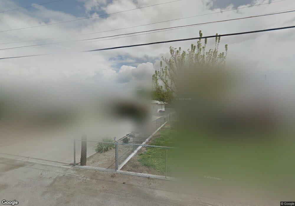
15308 Road 222 Porterville, CA 93257
Porterville Northwest NeighborhoodEstimated Value: $208,000 - $276,000
3
Beds
1
Bath
1,206
Sq Ft
$201/Sq Ft
Est. Value
About This Home
This home is located at 15308 Road 222, Porterville, CA 93257 and is currently estimated at $242,924, approximately $201 per square foot. 15308 Road 222 is a home located in Tulare County with nearby schools including William R. Buckley Elementary School, Burton Middle School, and Monache High School.
Ownership History
Date
Name
Owned For
Owner Type
Purchase Details
Closed on
Sep 28, 2023
Sold by
Thornburg Donald
Bought by
Thornburg Bobby L
Current Estimated Value
Purchase Details
Closed on
Feb 11, 2021
Sold by
Thornburg David Russell
Bought by
Thornburg Carol F and Thornburg Kacy
Purchase Details
Closed on
Mar 16, 2005
Sold by
Thornburg Herbert O
Bought by
Thornburg David R and Thornburg Herbert L
Purchase Details
Closed on
Oct 4, 1994
Sold by
Thornburg Deborah
Bought by
Thornburg David R
Create a Home Valuation Report for This Property
The Home Valuation Report is an in-depth analysis detailing your home's value as well as a comparison with similar homes in the area
Home Values in the Area
Average Home Value in this Area
Purchase History
| Date | Buyer | Sale Price | Title Company |
|---|---|---|---|
| Thornburg Bobby L | $68,413 | None Listed On Document | |
| Thornburg Bobby L | $31,706 | None Listed On Document | |
| Thornburg Bobby L | -- | None Listed On Document | |
| Thornburg Bobby L | -- | None Listed On Document | |
| Thornburg Carol F | -- | -- | |
| Thornburg David R | -- | -- | |
| Thornburg David R | -- | -- |
Source: Public Records
Tax History Compared to Growth
Tax History
| Year | Tax Paid | Tax Assessment Tax Assessment Total Assessment is a certain percentage of the fair market value that is determined by local assessors to be the total taxable value of land and additions on the property. | Land | Improvement |
|---|---|---|---|---|
| 2025 | $438 | $41,692 | $11,020 | $30,672 |
| 2024 | $438 | $40,875 | $10,804 | $30,071 |
| 2023 | $439 | $40,075 | $10,593 | $29,482 |
| 2022 | $341 | $39,290 | $10,386 | $28,904 |
| 2021 | $340 | $38,519 | $10,182 | $28,337 |
| 2020 | $333 | $38,124 | $10,078 | $28,046 |
| 2019 | $332 | $37,376 | $9,880 | $27,496 |
| 2018 | $315 | $36,643 | $9,686 | $26,957 |
| 2017 | $309 | $35,924 | $9,496 | $26,428 |
| 2016 | $307 | $35,220 | $9,310 | $25,910 |
| 2015 | $280 | $34,691 | $9,170 | $25,521 |
| 2014 | $280 | $34,011 | $8,990 | $25,021 |
Source: Public Records
Map
Nearby Homes
- 15247 Road 223
- 249 S Westwood St
- 2179 W Della Ave
- 100 S Westwood St Unit 52
- 100 S Westwood St Unit 1
- 100 S Westwood St Unit 17
- 100 S Westwood St
- 100 S Westwood St Unit Lot 105
- 100 S Westwood St Unit 110
- 100 S Westwood St Unit Lot 71
- 100 S Westwood St Unit 128
- 100 S Westwood St Unit 92
- 100 S Westwood St Unit 20
- 2300 W Morton Ave Unit 163
- 2300 W Morton Ave Unit 22
- 2300 W Morton Ave Unit 135
- 575 N Brandy Way
- 226 S Argyle Place
- 313 Balmoral Dr
- 2070 W Harrison Ave
- 15322 Road 222
- 15296 Road 222
- 15282 Road 222
- 15326 Road 222
- 15268 Road 222
- 15342 Road 222
- 15307 Road 223
- 15293 Road 223
- 15258 Road 222
- 15356 Road 222
- 15273 Road 223
- 15343 Road 223
- 15246 Road 222
- 15368 Road 222
- 15319 Road 223
- 15327 Road 223
- 15376 Road 222
- 22229 Avenue 154
- 15265 Road 223
- 22243 W Putnam Ave