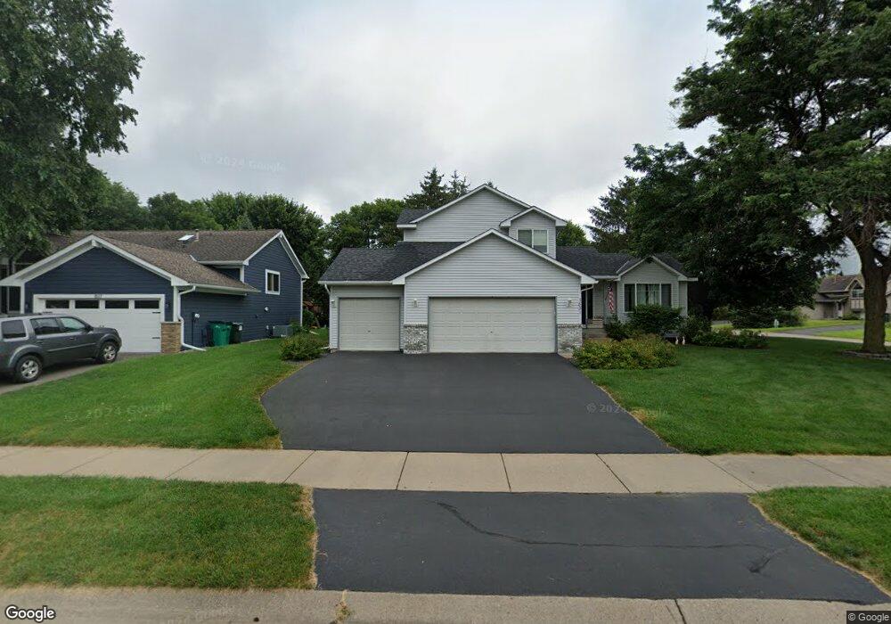
1531 Benson Blvd E Stillwater, MN 55082
Estimated Value: $448,782 - $486,000
3
Beds
2
Baths
1,494
Sq Ft
$311/Sq Ft
Est. Value
About This Home
This home is located at 1531 Benson Blvd E, Stillwater, MN 55082 and is currently estimated at $464,696, approximately $311 per square foot. 1531 Benson Blvd E is a home located in Washington County with nearby schools including Lily Lake Elementary School, Stillwater Middle School, and Stillwater Area High School.
Ownership History
Date
Name
Owned For
Owner Type
Purchase Details
Closed on
Feb 24, 2025
Sold by
Perron Sheryl L
Bought by
Perron Matthew
Current Estimated Value
Home Financials for this Owner
Home Financials are based on the most recent Mortgage that was taken out on this home.
Original Mortgage
$285,600
Outstanding Balance
$284,138
Interest Rate
6.87%
Mortgage Type
New Conventional
Estimated Equity
$180,558
Purchase Details
Closed on
Apr 23, 2002
Sold by
Anderson Judith A
Bought by
Perron Joseph and Perron Sherri
Create a Home Valuation Report for This Property
The Home Valuation Report is an in-depth analysis detailing your home's value as well as a comparison with similar homes in the area
Home Values in the Area
Average Home Value in this Area
Purchase History
| Date | Buyer | Sale Price | Title Company |
|---|---|---|---|
| Perron Matthew | $357,000 | Ancona Title | |
| Perron Joseph | $224,900 | -- |
Source: Public Records
Mortgage History
| Date | Status | Borrower | Loan Amount |
|---|---|---|---|
| Open | Perron Matthew | $285,600 |
Source: Public Records
Tax History Compared to Growth
Tax History
| Year | Tax Paid | Tax Assessment Tax Assessment Total Assessment is a certain percentage of the fair market value that is determined by local assessors to be the total taxable value of land and additions on the property. | Land | Improvement |
|---|---|---|---|---|
| 2024 | $5,270 | $444,600 | $170,000 | $274,600 |
| 2023 | $5,270 | $460,000 | $190,000 | $270,000 |
| 2022 | $4,050 | $392,600 | $144,500 | $248,100 |
| 2021 | $3,664 | $334,100 | $123,000 | $211,100 |
| 2020 | $3,798 | $312,700 | $110,000 | $202,700 |
| 2019 | $3,774 | $319,300 | $115,000 | $204,300 |
| 2018 | $3,416 | $301,700 | $110,000 | $191,700 |
| 2017 | $3,162 | $276,000 | $100,000 | $176,000 |
| 2016 | $3,170 | $247,400 | $80,000 | $167,400 |
| 2015 | $2,990 | $222,400 | $79,400 | $143,000 |
| 2013 | -- | $189,200 | $67,100 | $122,100 |
Source: Public Records
Map
Nearby Homes
- 1119 Gilbert Ct
- XXX Industrial Blvd
- 828 Greeley St S
- 2324 Driftwood Ln
- 721 Martha St S
- 211 Olive St W
- 609 Willard St W
- 5835 Oakgreen Ct N
- 1422 5th St S
- 418 Holcombe St S
- 2840 Brewers Ln
- 212 Birchwood Dr N
- 5675 Oak Cove N
- 1112 4th St S
- 1104 4th St S
- 2866 Long Lake Dr
- 2501 Hawthorne Ln
- 233 Sherburne St N
- 13796 55th St N
- 308 4th St S
- 1517 Benson Blvd E
- 1556 Driving Park Rd
- 1503 Benson Blvd E
- 1548 Driving Park Rd
- 1579 Driving Park Rd
- 1573 Driving Park Rd
- 1544 Benson Blvd E
- 1530 Benson Blvd E
- 1411 Paddock Cir
- 1516 Benson Blvd E
- 1558 Benson Blvd E
- 1467 Benson Blvd E
- 1540 Driving Park Rd
- 1401 Paddock Cir
- 1502 Benson Blvd E
- 1561 Driving Park Rd
- 1572 Benson Blvd E
- 1532 Driving Park Rd
- 1466 Benson Blvd E
- 1419 Paddock Cir