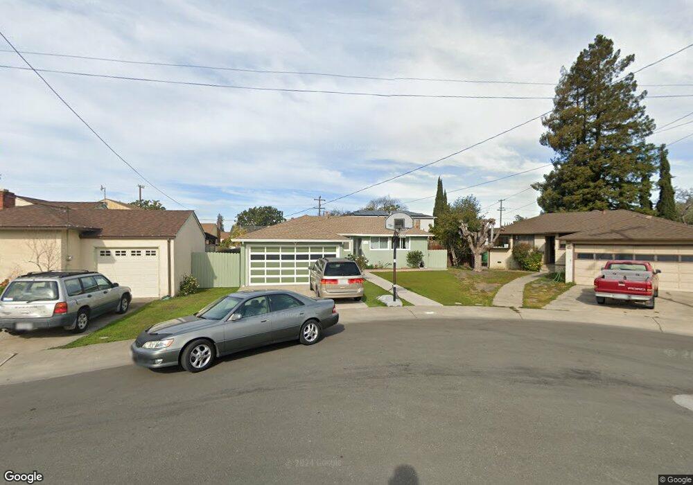
1531 Coral Ave San Leandro, CA 94578
Upper Bal NeighborhoodEstimated Value: $796,000 - $871,601
3
Beds
2
Baths
1,553
Sq Ft
$536/Sq Ft
Est. Value
About This Home
This home is located at 1531 Coral Ave, San Leandro, CA 94578 and is currently estimated at $833,150, approximately $536 per square foot. 1531 Coral Ave is a home located in Alameda County with nearby schools including Jefferson Elementary School, Bancroft Middle School, and San Leandro High School.
Ownership History
Date
Name
Owned For
Owner Type
Purchase Details
Closed on
Apr 14, 2004
Sold by
Lee Joyce Kit Ling
Bought by
Shi Phillip Fei Qian and Lee Joyce Kit Ling
Current Estimated Value
Home Financials for this Owner
Home Financials are based on the most recent Mortgage that was taken out on this home.
Original Mortgage
$150,000
Interest Rate
5.39%
Mortgage Type
New Conventional
Create a Home Valuation Report for This Property
The Home Valuation Report is an in-depth analysis detailing your home's value as well as a comparison with similar homes in the area
Home Values in the Area
Average Home Value in this Area
Purchase History
| Date | Buyer | Sale Price | Title Company |
|---|---|---|---|
| Shi Phillip Fei Qian | -- | Fidelity National Title Co |
Source: Public Records
Mortgage History
| Date | Status | Borrower | Loan Amount |
|---|---|---|---|
| Closed | Shi Phillip Fei Qian | $150,000 |
Source: Public Records
Tax History Compared to Growth
Tax History
| Year | Tax Paid | Tax Assessment Tax Assessment Total Assessment is a certain percentage of the fair market value that is determined by local assessors to be the total taxable value of land and additions on the property. | Land | Improvement |
|---|---|---|---|---|
| 2025 | $5,204 | $375,661 | $114,798 | $267,863 |
| 2024 | $5,204 | $368,158 | $112,547 | $262,611 |
| 2023 | $5,224 | $367,804 | $110,341 | $257,463 |
| 2022 | $5,059 | $353,592 | $108,177 | $252,415 |
| 2021 | $4,908 | $346,522 | $106,056 | $247,466 |
| 2020 | $4,781 | $349,898 | $104,969 | $244,929 |
| 2019 | $4,628 | $343,038 | $102,911 | $240,127 |
| 2018 | $4,481 | $336,314 | $100,894 | $235,420 |
| 2017 | $4,402 | $329,721 | $98,916 | $230,805 |
| 2016 | $4,162 | $323,256 | $96,977 | $226,279 |
| 2015 | $4,081 | $318,401 | $95,520 | $222,881 |
| 2014 | $4,048 | $312,165 | $93,649 | $218,516 |
Source: Public Records
Map
Nearby Homes
- 14955 Lark St
- 14972 Lark St
- 14973 Patton Ave
- 0 Saturn Dr
- 14960 Portofino Cir
- 1947 Placer Dr
- 1939 Placer Dr
- 2230 Sol St
- 14101 E 14th St Unit 306
- 14875 Western Ave
- 1207 147th Ave Unit D
- 1203 147th Ave
- 2290 Upland Rd
- 1293 Vistagrand Dr
- 1112 Adason Dr
- 1253 139th Ave
- 15683 Liberty St
- 475 Nabor St
- 1525 Thrush Ave
- 1162 136th Ave
- 1525 Coral Ave
- 1539 Coral Ave
- 1556 148th Ave
- 1564 148th Ave
- 1519 Coral Ave
- 14811 Towers St
- 1544 148th Ave
- 1576 148th Ave
- 14821 Towers St
- 1511 Coral Ave
- 1532 148th Ave
- 14830 Towers St
- 14825 Lark St
- 14819 Lark St
- 14829 Towers St
- 1518 Coral Ave
- 14833 Lark St
- 14820 Bancroft Ave
- 1584 148th Ave
- 1510 148th Ave