1531 Grant Ave Hazleton, IA 50641
Estimated Value: $134,000 - $310,000
4
Beds
2
Baths
876
Sq Ft
$267/Sq Ft
Est. Value
About This Home
This home is located at 1531 Grant Ave, Hazleton, IA 50641 and is currently estimated at $233,966, approximately $267 per square foot. 1531 Grant Ave is a home located in Buchanan County with nearby schools including Little Husky Learning Center, Wings Park Elementary School, and Parkside Elementary School.
Ownership History
Date
Name
Owned For
Owner Type
Purchase Details
Closed on
Oct 4, 2012
Sold by
Raber Benry and Raber Maryann
Bought by
Raber Abe C and Raber Katie J
Current Estimated Value
Purchase Details
Closed on
Oct 9, 2007
Sold by
Raber Abe C and Raber Katie
Bought by
Raber Henry and Raber Maryann
Create a Home Valuation Report for This Property
The Home Valuation Report is an in-depth analysis detailing your home's value as well as a comparison with similar homes in the area
Home Values in the Area
Average Home Value in this Area
Purchase History
| Date | Buyer | Sale Price | Title Company |
|---|---|---|---|
| Raber Abe C | $125,000 | None Available | |
| Raber Henry | $65,000 | None Available |
Source: Public Records
Tax History Compared to Growth
Tax History
| Year | Tax Paid | Tax Assessment Tax Assessment Total Assessment is a certain percentage of the fair market value that is determined by local assessors to be the total taxable value of land and additions on the property. | Land | Improvement |
|---|---|---|---|---|
| 2025 | $2,540 | $208,490 | $32,280 | $176,210 |
| 2024 | $2,540 | $187,070 | $26,190 | $160,880 |
| 2023 | $2,472 | $187,070 | $26,190 | $160,880 |
| 2022 | $2,310 | $148,650 | $20,410 | $128,240 |
| 2021 | $2,228 | $148,650 | $20,410 | $128,240 |
| 2020 | $2,228 | $136,550 | $18,180 | $118,370 |
| 2019 | $2,122 | $136,550 | $18,180 | $118,370 |
| 2018 | $1,966 | $146,100 | $25,720 | $120,380 |
| 2017 | $1,832 | $146,100 | $25,720 | $120,380 |
| 2016 | $1,788 | $141,926 | $29,110 | $112,816 |
| 2015 | $1,788 | $141,926 | $29,110 | $112,816 |
| 2014 | $2,036 | $163,190 | $37,690 | $125,500 |
Source: Public Records
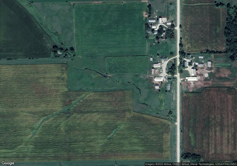
Map
Nearby Homes
- 1671 Jamestown Ave
- 106 Madison St S
- 104 Monroe St S
- 207 1st St N
- 201 Westline Dr
- 1836 105th St
- 1894 105th St
- 1749 Golf Course Blvd Unit 39
- 1771-17A Golf Course Blvd
- 1771-23 Golf Course Blvd
- 1711-12 Golf Course Blvd
- 1771-12 Golf Course Blvd
- 1771 Golf Course Blvd Unit 27
- 1771 Golf Course Blvd Unit 3
- 1403 210th St
- 0 S Frederick & Wildwood Ln Unit NBR20254283
- 1997 206th St
- 00 Q Ave
- 0 Q Ave
- 1657 Nathan Bethel Ave