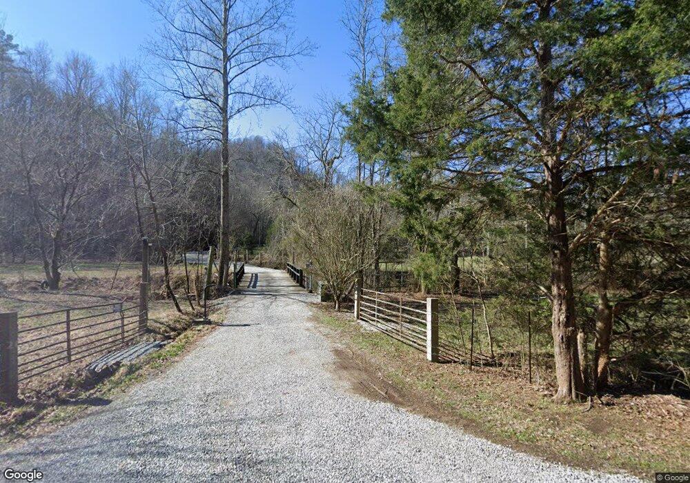
1531 Wilson Station Rd Englewood, TN 37329
Estimated Value: $688,000 - $878,000
3
Beds
3
Baths
2,860
Sq Ft
$274/Sq Ft
Est. Value
About This Home
This home is located at 1531 Wilson Station Rd, Englewood, TN 37329 and is currently estimated at $782,716, approximately $273 per square foot. 1531 Wilson Station Rd is a home located in Monroe County with nearby schools including Madisonville Primary School, Madisonville Intermediate School, and Madisonville Middle School.
Ownership History
Date
Name
Owned For
Owner Type
Purchase Details
Closed on
Jun 12, 2023
Sold by
Bachmann Daniel R and Bachmann Deborah A
Bought by
Joint Revocable Living Trust and Bachmann
Current Estimated Value
Purchase Details
Closed on
Nov 26, 2013
Sold by
Cochran Mary A
Bought by
Bachmann Daniel R and Bachmann Deborah A
Purchase Details
Closed on
Apr 3, 1989
Bought by
Lynn Ronnie D
Purchase Details
Closed on
Apr 12, 1988
Purchase Details
Closed on
Jun 12, 1974
Create a Home Valuation Report for This Property
The Home Valuation Report is an in-depth analysis detailing your home's value as well as a comparison with similar homes in the area
Home Values in the Area
Average Home Value in this Area
Purchase History
| Date | Buyer | Sale Price | Title Company |
|---|---|---|---|
| Joint Revocable Living Trust | -- | None Listed On Document | |
| Bachmann Daniel R | $335,000 | -- | |
| Lynn Ronnie D | -- | -- | |
| -- | -- | -- | |
| -- | -- | -- |
Source: Public Records
Tax History Compared to Growth
Tax History
| Year | Tax Paid | Tax Assessment Tax Assessment Total Assessment is a certain percentage of the fair market value that is determined by local assessors to be the total taxable value of land and additions on the property. | Land | Improvement |
|---|---|---|---|---|
| 2025 | $1,906 | $139,250 | $0 | $0 |
| 2024 | $1,906 | $125,175 | $26,300 | $98,875 |
| 2023 | $1,906 | $125,175 | $26,300 | $98,875 |
| 2022 | $1,873 | $83,650 | $22,600 | $61,050 |
| 2021 | $1,873 | $83,650 | $22,600 | $61,050 |
| 2020 | $1,784 | $79,675 | $22,600 | $57,075 |
| 2019 | $1,577 | $79,675 | $22,600 | $57,075 |
| 2018 | $1,577 | $79,675 | $22,600 | $57,075 |
| 2017 | $1,542 | $73,625 | $20,450 | $53,175 |
| 2016 | $1,512 | $72,200 | $21,225 | $50,975 |
| 2015 | $1,512 | $72,200 | $21,225 | $50,975 |
| 2014 | $1,455 | $69,484 | $0 | $0 |
Source: Public Records
Map
Nearby Homes
- 0 Happy Hollow Rd
- 0 Red River Rd
- 0 Red River Rd Unit 1283612
- 111 County Road 462
- 26 ac Burger Branch County Rd 464
- 26 acres Burger Branch County Rd 464
- 437 Happy Hollow Rd
- 1982 Highway 39e
- 7400 New Highway 68
- 214 Hickory Grove Rd
- 0 New Hwy 68 Unit 1288074
- 0 Highway 411 Unit 1249596
- 6100 New Highway 68
- 378 Countryside Ln
- 3242 U S 411
- 217 Countryside Ln
- 0 Taywell Dr
- 2568 Highway 39 E
- Lot 3r County Road 461
- 1095 County Road 461
- 1373 Wilson Station Rd
- 1517 Wilson Station Rd
- 1531 Wilson Station Rd
- 1516 Wilson Station Rd
- 1435 Wilson Station Rd
- 425 Church Rd
- 247 Church Rd
- 1610 Wilson Station Rd
- 476 Sleepy Valley Rd
- 476 Sleepy Valley Rd
- 425 Sleepy Valley Rd
- 1441 Wilson Station Rd
- 1625 Wilson Station Rd
- 261 Church St
- 261 Church Rd
- 450 Sleepy Valley Rd
- 1352 Wilson Station Rd
- 0 Sleepy Valley Rd
- 182 Red River Rd
- 403 Sleepy Valley Rd
