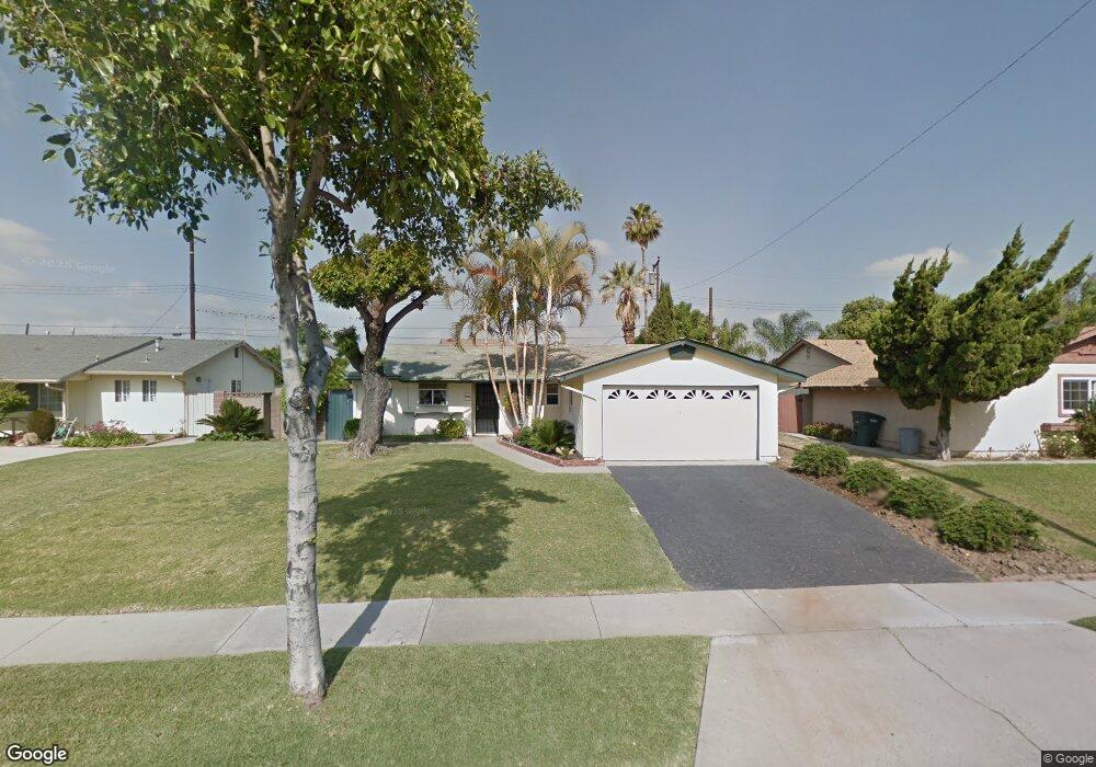
15317 Stanton Ave La Mirada, CA 90638
Estimated Value: $756,854 - $884,000
3
Beds
2
Baths
1,100
Sq Ft
$745/Sq Ft
Est. Value
About This Home
This home is located at 15317 Stanton Ave, La Mirada, CA 90638 and is currently estimated at $819,714, approximately $745 per square foot. 15317 Stanton Ave is a home located in Los Angeles County with nearby schools including Eastwood Elementary School, Los Coyotes Middle School, and La Mirada High School.
Ownership History
Date
Name
Owned For
Owner Type
Purchase Details
Closed on
May 26, 1999
Sold by
Hunter Dale
Bought by
Hunter Dale and Hunter Patricia
Current Estimated Value
Home Financials for this Owner
Home Financials are based on the most recent Mortgage that was taken out on this home.
Original Mortgage
$150,400
Interest Rate
7.05%
Purchase Details
Closed on
Mar 8, 1996
Sold by
Hunter Dale
Bought by
Hunter Dale
Create a Home Valuation Report for This Property
The Home Valuation Report is an in-depth analysis detailing your home's value as well as a comparison with similar homes in the area
Home Values in the Area
Average Home Value in this Area
Purchase History
| Date | Buyer | Sale Price | Title Company |
|---|---|---|---|
| Hunter Dale | -- | First American Title Co | |
| Hunter Dale | -- | -- |
Source: Public Records
Mortgage History
| Date | Status | Borrower | Loan Amount |
|---|---|---|---|
| Closed | Hunter Dale | $150,400 |
Source: Public Records
Tax History
| Year | Tax Paid | Tax Assessment Tax Assessment Total Assessment is a certain percentage of the fair market value that is determined by local assessors to be the total taxable value of land and additions on the property. | Land | Improvement |
|---|---|---|---|---|
| 2025 | $4,114 | $302,984 | $216,066 | $86,918 |
| 2024 | $4,114 | $297,044 | $211,830 | $85,214 |
| 2023 | $3,978 | $291,221 | $207,677 | $83,544 |
| 2022 | $3,909 | $285,511 | $203,605 | $81,906 |
| 2021 | $3,853 | $279,913 | $199,613 | $80,300 |
| 2019 | $3,745 | $271,613 | $193,694 | $77,919 |
| 2018 | $3,592 | $266,289 | $189,897 | $76,392 |
| 2016 | $3,444 | $255,951 | $182,524 | $73,427 |
| 2015 | $3,414 | $252,108 | $179,783 | $72,325 |
| 2014 | $3,187 | $247,171 | $176,262 | $70,909 |
Source: Public Records
Map
Nearby Homes
- 15794 Stanbrook Dr
- 15736 Hesse Dr
- 4733 Durango Dr
- 8135 Keith Green
- 4751 Saint Andrews Ave
- 15053 Watkins Dr
- 8080 Kerr Green
- 15213 Santa Gertrudes Ave Unit W106
- 15708 La Barca Dr
- 15436 La Mirada Blvd Unit Hh210
- 15106 Ocaso Ave
- 4840 Sunnybrook Ave
- 5359 Humboldt Dr
- 15011 La Mesa Dr
- 5361 Humboldt Dr
- 14604 Balin Place
- 2111 Cheyenne Way Unit 5
- 5410 Barrett Cir
- 3001 Wisteria Ln
- 15819 Rosalita Dr
- 15323 Stanton Ave
- 15309 Stanton Ave
- 15777 Doyon Place
- 15303 S Stanton Ave
- 15329 Stanton Ave
- 15303 Stanton Ave
- 15312 Fairhope Dr
- 15778 Doyon Place
- 8001 Carrey Ave
- 15769 Doyon Place
- 4762 Fairhope Dr
- 8050 Carrie Ct
- 15335 Stanton Ave
- 15334 Fairhope Dr
- 8002 Carrey Ave
- 15774 Doyon Place
- 15763 Doyon Place
- 8021 Carrey Ave
- 15768 Doyon Place
- 4752 Fairhope Dr
Your Personal Tour Guide
Ask me questions while you tour the home.