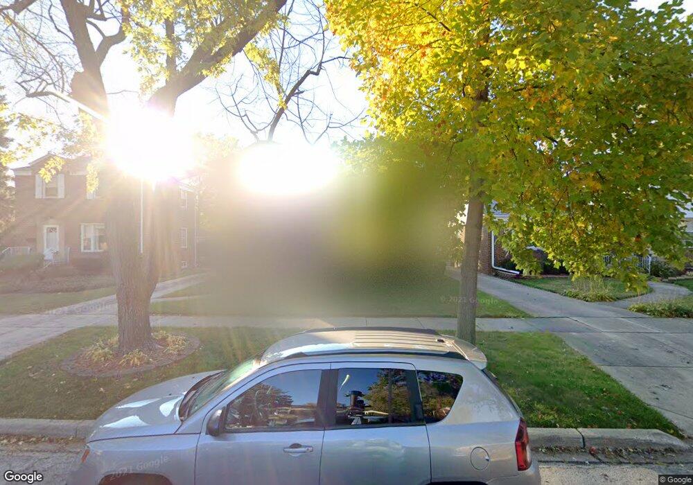
1532 Manchester Ave Westchester, IL 60154
Estimated Value: $298,000 - $338,000
2
Beds
1
Bath
1,122
Sq Ft
$289/Sq Ft
Est. Value
About This Home
This home is located at 1532 Manchester Ave, Westchester, IL 60154 and is currently estimated at $323,928, approximately $288 per square foot. 1532 Manchester Ave is a home located in Cook County with nearby schools including Westchester Primary School, Westchester Intermediate School, and Westchester Middle School.
Ownership History
Date
Name
Owned For
Owner Type
Purchase Details
Closed on
Feb 1, 2020
Sold by
Diaz Ramon and Diaz Ana B
Bought by
Diaz Eduardo and Diaz Ramon
Current Estimated Value
Purchase Details
Closed on
May 8, 2012
Sold by
Burken Thomas H
Bought by
Diaz Ramon and Diaz Ana B
Home Financials for this Owner
Home Financials are based on the most recent Mortgage that was taken out on this home.
Original Mortgage
$108,000
Outstanding Balance
$75,178
Interest Rate
4%
Mortgage Type
New Conventional
Estimated Equity
$248,750
Purchase Details
Closed on
Feb 21, 2011
Sold by
Massura Jane A
Bought by
Massura Jane A and 1532 Trust
Create a Home Valuation Report for This Property
The Home Valuation Report is an in-depth analysis detailing your home's value as well as a comparison with similar homes in the area
Home Values in the Area
Average Home Value in this Area
Purchase History
| Date | Buyer | Sale Price | Title Company |
|---|---|---|---|
| Diaz Eduardo | -- | None Available | |
| Diaz Ramon | $120,000 | Fidelity National Title | |
| Massura Jane A | -- | None Available |
Source: Public Records
Mortgage History
| Date | Status | Borrower | Loan Amount |
|---|---|---|---|
| Open | Diaz Ramon | $108,000 |
Source: Public Records
Tax History Compared to Growth
Tax History
| Year | Tax Paid | Tax Assessment Tax Assessment Total Assessment is a certain percentage of the fair market value that is determined by local assessors to be the total taxable value of land and additions on the property. | Land | Improvement |
|---|---|---|---|---|
| 2024 | $5,255 | $24,000 | $4,690 | $19,310 |
| 2023 | $4,827 | $24,000 | $4,690 | $19,310 |
| 2022 | $4,827 | $19,926 | $4,020 | $15,906 |
| 2021 | $4,704 | $19,926 | $4,020 | $15,906 |
| 2020 | $4,675 | $19,926 | $4,020 | $15,906 |
| 2019 | $3,864 | $17,793 | $3,685 | $14,108 |
| 2018 | $3,811 | $17,793 | $3,685 | $14,108 |
| 2017 | $4,303 | $19,787 | $3,685 | $16,102 |
| 2016 | $4,085 | $16,503 | $3,350 | $13,153 |
| 2015 | $3,996 | $16,503 | $3,350 | $13,153 |
| 2014 | $3,919 | $16,503 | $3,350 | $13,153 |
| 2013 | $4,100 | $18,941 | $3,350 | $15,591 |
Source: Public Records
Map
Nearby Homes
- 1500 Bristol Ave
- 1601 Bristol Ave
- 1623 Manchester Ave
- 1433 Bristol Ave
- 1840 Gardner Rd
- 1900 Manchester Ave
- 1907 Suffolk Ave
- 1932 Newcastle Ave
- 10072 Drury Ln
- 2128 Hull Ave
- 2320 S 22nd Ave
- 1119 Newcastle Ave
- 923 Manchester Ave
- 2237 S 22nd Ave
- 920 Suffolk Ave
- 1016 Hull Ave
- 1245 S Mannheim Rd Unit 2
- 1247 S Mannheim Rd Unit 3
- 2428 S 19th Ave
- 814 Norfolk Ave
- 1526 Manchester Ave
- 1536 Manchester Ave
- 1522 Manchester Ave
- 1540 Manchester Ave
- 1533 Norfolk Ave
- 1525 Norfolk Ave
- 1537 Norfolk Ave
- 1516 Manchester Ave
- 1546 Manchester Ave
- 1541 Norfolk Ave
- 1523 Norfolk Ave
- 1533 Manchester Ave
- 1512 Manchester Ave
- 1552 Manchester Ave
- 1513 Norfolk Ave
- 1545 Norfolk Ave
- 1537 Manchester Ave
- 1527 Manchester Ave
- 1523 Manchester Ave
- 1541 Manchester Ave