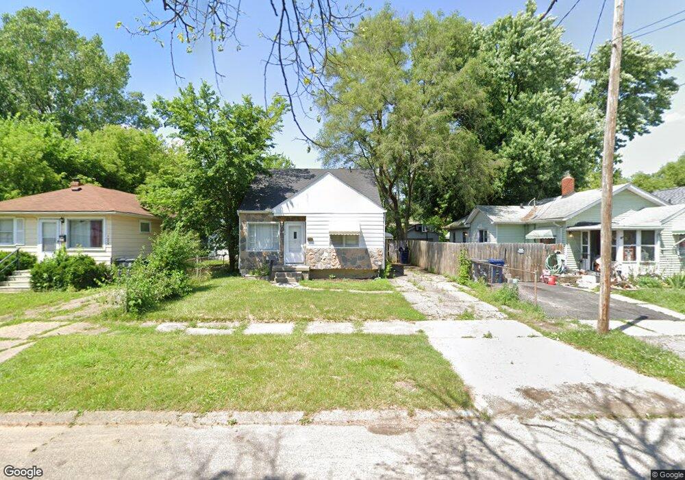
1532 Pettibone Ave Flint, MI 48507
South Side NeighborhoodEstimated Value: $38,000 - $63,000
3
Beds
1
Bath
904
Sq Ft
$55/Sq Ft
Est. Value
About This Home
This home is located at 1532 Pettibone Ave, Flint, MI 48507 and is currently estimated at $49,604, approximately $54 per square foot. 1532 Pettibone Ave is a home located in Genesee County with nearby schools including Neithercut Elementary School, Flint Southwestern Classical Academy, and International Academy of Flint (K-12).
Ownership History
Date
Name
Owned For
Owner Type
Purchase Details
Closed on
Apr 20, 2009
Sold by
Federal National Mortgage Association
Bought by
Zerka Stephen J
Current Estimated Value
Purchase Details
Closed on
Dec 17, 2008
Sold by
Smith Andrew M
Bought by
Federal National Mortgage Association
Purchase Details
Closed on
Nov 6, 2008
Sold by
Mortgage Electronic Registration Systems
Bought by
Federal National Mortgage Association
Purchase Details
Closed on
Nov 5, 2008
Sold by
Smith Andrew M
Bought by
Mortgage Electronic Registration Systems
Create a Home Valuation Report for This Property
The Home Valuation Report is an in-depth analysis detailing your home's value as well as a comparison with similar homes in the area
Home Values in the Area
Average Home Value in this Area
Purchase History
| Date | Buyer | Sale Price | Title Company |
|---|---|---|---|
| Zerka Stephen J | $9,000 | Warranty Title Agency Llc | |
| Federal National Mortgage Association | $3,000 | None Available | |
| Federal National Mortgage Association | -- | None Available | |
| Mortgage Electronic Registration Systems | $52,705 | None Available |
Source: Public Records
Tax History
| Year | Tax Paid | Tax Assessment Tax Assessment Total Assessment is a certain percentage of the fair market value that is determined by local assessors to be the total taxable value of land and additions on the property. | Land | Improvement |
|---|---|---|---|---|
| 2025 | $798 | $13,900 | $0 | $0 |
| 2024 | $747 | $13,900 | $0 | $0 |
| 2023 | $736 | $11,800 | $0 | $0 |
| 2022 | $0 | $9,900 | $0 | $0 |
| 2021 | $742 | $9,500 | $0 | $0 |
| 2020 | $691 | $8,000 | $0 | $0 |
| 2019 | $682 | $7,900 | $0 | $0 |
| 2018 | $653 | $9,700 | $0 | $0 |
| 2017 | $639 | $0 | $0 | $0 |
| 2016 | $635 | $0 | $0 | $0 |
| 2015 | -- | $0 | $0 | $0 |
| 2014 | -- | $0 | $0 | $0 |
| 2012 | -- | $8,100 | $0 | $0 |
Source: Public Records
Map
Nearby Homes
- 1506 Pettibone Ave
- 1413 Lincoln Ave
- 1410 Berrywood Ln
- 1741 Carmanbrook Pkwy
- 1814 Carmanbrook Pkwy
- 1727 Briarwood Dr
- 1130 W Atherton Rd
- 1310 Alvord Ave
- 1028 Campbell St
- 1310 Huron St
- 1826 Greenbrook Ln
- 1234 Huron St
- 4101 Greenbrook Ln
- 1836 Willowbrook Cir
- 1318 Ingleside Ave
- 1015 Alvord Ave
- 1818 Rockcreek Ln
- 1210 Pinehurst Ave
- 1627 Blackberry Ln
- 4502 Huckleberry Ln
- 1536 Pettibone Ave
- 1528 Pettibone Ave
- 1524 Pettibone Ave
- 1529 Lincoln Ave
- 1602 Pettibone Ave
- 1533 Lincoln Ave
- 1525 Lincoln Ave
- 1537 Lincoln Ave
- 1521 Lincoln Ave
- 1520 Pettibone Ave
- 1601 Lincoln Ave
- 1519 Lincoln Ave
- 1533 Pettibone Ave
- 1525 Pettibone Ave
- 1606 Pettibone Ave
- 1537 Pettibone Ave
- 1514 Pettibone Ave
- 1517 Pettibone Ave
- 1601 Pettibone Ave
- 1513 Lincoln Ave
Your Personal Tour Guide
Ask me questions while you tour the home.