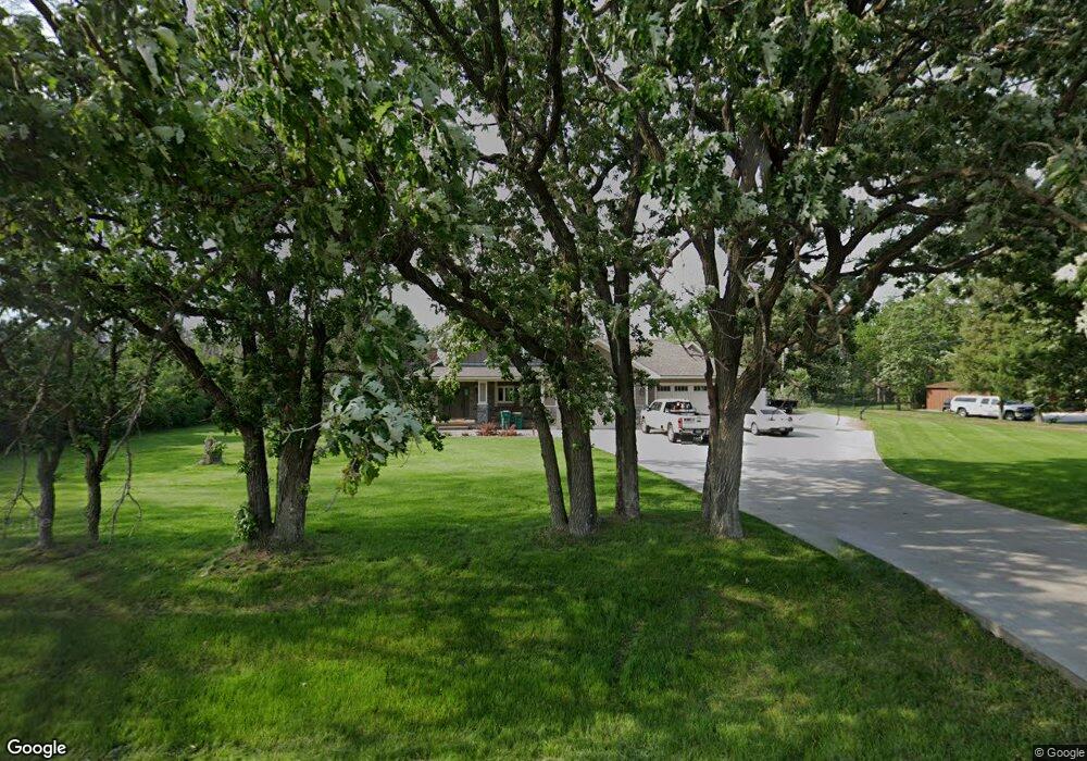
15325 190th St E Hastings, MN 55033
Hastings-Marshan Township NeighborhoodEstimated Value: $457,000 - $753,586
3
Beds
3
Baths
3,088
Sq Ft
$189/Sq Ft
Est. Value
About This Home
This home is located at 15325 190th St E, Hastings, MN 55033 and is currently estimated at $582,647, approximately $188 per square foot. 15325 190th St E is a home located in Dakota County with nearby schools including Pinecrest Elementary School, Hastings Middle School, and Hastings High School.
Ownership History
Date
Name
Owned For
Owner Type
Purchase Details
Closed on
Sep 30, 2004
Sold by
Meyer Robert M and Meyer Nancy J
Bought by
Denoyer Robert J and Denoyer Nicole R
Current Estimated Value
Purchase Details
Closed on
Nov 30, 2000
Sold by
Lacoursiere Andrew F
Bought by
Meyer Robert M and Meyer Nancy J
Purchase Details
Closed on
Jun 18, 1999
Sold by
Enedy Robert J and Enedy Linda E
Bought by
Lucoursiere Andrew Fd and Lucoursiere Lori M
Create a Home Valuation Report for This Property
The Home Valuation Report is an in-depth analysis detailing your home's value as well as a comparison with similar homes in the area
Home Values in the Area
Average Home Value in this Area
Purchase History
| Date | Buyer | Sale Price | Title Company |
|---|---|---|---|
| Denoyer Robert J | $323,000 | -- | |
| Meyer Robert M | $205,000 | -- | |
| Lucoursiere Andrew Fd | $180,000 | -- |
Source: Public Records
Tax History Compared to Growth
Tax History
| Year | Tax Paid | Tax Assessment Tax Assessment Total Assessment is a certain percentage of the fair market value that is determined by local assessors to be the total taxable value of land and additions on the property. | Land | Improvement |
|---|---|---|---|---|
| 2024 | $5,364 | $753,900 | $113,200 | $640,700 |
| 2023 | $5,364 | $720,400 | $107,000 | $613,400 |
| 2022 | $4,592 | $612,900 | $105,600 | $507,300 |
| 2021 | $4,974 | $563,500 | $102,000 | $461,500 |
| 2020 | $4,516 | $588,600 | $102,000 | $486,600 |
| 2019 | $3,368 | $506,600 | $97,100 | $409,500 |
| 2018 | $2,783 | $379,400 | $87,700 | $291,700 |
| 2017 | $2,650 | $302,000 | $83,500 | $218,500 |
| 2016 | $2,366 | $292,000 | $83,500 | $208,500 |
| 2015 | $2,306 | $253,572 | $76,319 | $177,253 |
| 2014 | -- | $245,506 | $73,160 | $172,346 |
| 2013 | -- | $214,005 | $64,991 | $149,014 |
Source: Public Records
Map
Nearby Homes
- Lot 3 Orlando Ave
- Lot 1 Orlando Ave
- Lot 2 Orlando Ave
- XXX Red Wing Blvd
- 20091 Red Wing Blvd
- XXX Otero Ave
- 17994 Michael Ave
- TBD Ravenna Trail
- 13550 210th St E
- 4198 Starling Dr
- 545 Tuttle Dr
- 115 Kinglet Dr
- 21211 Red Wing Blvd
- 20430 Rhoda Ave
- 182 Sandpiper Cir
- 2341 Glacier Way
- 2211 Glacier Way
- 235 Tiffany Dr
- 3525 Douglas Dr
- 2422 Rushmore Rd
- 15265 190th St E
- 15359 190th St E
- 15381 190th St E
- 15255 190th St E
- 15397 190th St E
- 15421 190th St E
- 15397 15397 190th-Street-e
- 18755 Red Wing Blvd
- 18765 Red Wing Blvd
- 18940 Orlando Ave
- 18965 Orlando Ave
- 19065 Orlando Ave
- 18827 Orlando Ave
- 19155 Orlando Ave
- 18830 Orlando Ave
- 18825 Orlando Ave
- 19235 Orlando Ave
- 15600 190th St E
- 18760 Orlando Ave
- 19242 Orlando Ave