15329 Lassen Dr Adelanto, CA 92301
Mesa Linda NeighborhoodEstimated Value: $408,000 - $429,000
4
Beds
2
Baths
1,564
Sq Ft
$267/Sq Ft
Est. Value
About This Home
This home is located at 15329 Lassen Dr, Adelanto, CA 92301 and is currently estimated at $417,609, approximately $267 per square foot. 15329 Lassen Dr is a home located in San Bernardino County with nearby schools including Victoria Magathan Elementary School, Columbia Middle School, and Adelanto High School.
Ownership History
Date
Name
Owned For
Owner Type
Purchase Details
Closed on
May 3, 2002
Sold by
Norris Heller One Llc
Bought by
Hurtado Art and Hurtado Gloria
Current Estimated Value
Home Financials for this Owner
Home Financials are based on the most recent Mortgage that was taken out on this home.
Original Mortgage
$125,800
Outstanding Balance
$52,410
Interest Rate
6.74%
Mortgage Type
FHA
Estimated Equity
$365,199
Create a Home Valuation Report for This Property
The Home Valuation Report is an in-depth analysis detailing your home's value as well as a comparison with similar homes in the area
Home Values in the Area
Average Home Value in this Area
Purchase History
| Date | Buyer | Sale Price | Title Company |
|---|---|---|---|
| Hurtado Art | $126,000 | Orange Coast Title |
Source: Public Records
Mortgage History
| Date | Status | Borrower | Loan Amount |
|---|---|---|---|
| Open | Hurtado Art | $125,800 |
Source: Public Records
Tax History
| Year | Tax Paid | Tax Assessment Tax Assessment Total Assessment is a certain percentage of the fair market value that is determined by local assessors to be the total taxable value of land and additions on the property. | Land | Improvement |
|---|---|---|---|---|
| 2025 | $2,852 | $188,472 | $36,933 | $151,539 |
| 2024 | $2,640 | $184,777 | $36,209 | $148,568 |
| 2023 | $2,663 | $181,154 | $35,499 | $145,655 |
| 2022 | $2,530 | $177,602 | $34,803 | $142,799 |
| 2021 | $2,644 | $174,120 | $34,121 | $139,999 |
| 2020 | $2,581 | $172,334 | $33,771 | $138,563 |
| 2019 | $2,557 | $168,955 | $33,109 | $135,846 |
| 2018 | $2,558 | $165,642 | $32,460 | $133,182 |
| 2017 | $2,477 | $162,395 | $31,824 | $130,571 |
| 2016 | $2,429 | $159,211 | $31,200 | $128,011 |
| 2015 | $2,334 | $156,819 | $30,731 | $126,088 |
| 2014 | $1,932 | $122,000 | $24,200 | $97,800 |
Source: Public Records
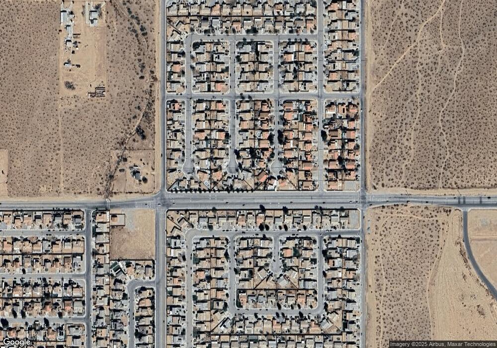
Map
Nearby Homes
- 15342 Kearny Dr
- 15249 Braxton St
- 15248 Lynch Ct
- 15177 Braxton St
- 11840 Marshall Rd
- 32 Pearmain St
- 11532 Autumn St
- 11493 Golden St
- 11537 Winter Place
- 11771 Dana Dr
- 11417 Star St
- 11411 Arlington St
- 0 Pine St Unit HD25268649
- 0 Civic #1 Dr Unit HD25143721
- 0 Kentwood #1 Blvd Unit HD25143435
- 9 Vincent Dr
- 9 Palmdale
- 0 Civic #4 Dr Unit HD25144089
- 0 Joshua and Del Rosa Corner Unit HD25268519
- 0 Civic #2 Dr Unit HD25144047
- 15313 Lassen Dr
- 15326 Fremont Dr
- 15337 Lassen Dr
- 15334 Fremont Dr
- 15318 Fremont Dr
- 15345 Lassen Dr
- 15312 Lassen Dr
- 15344 Fremont Dr
- 15328 Lassen Dr
- 15336 Lassen Dr
- 15355 Lassen Dr
- 15354 Fremont Dr
- 15344 Lassen Dr
- 15319 Fremont Dr
- 11766 Taylor St
- 15365 Lassen Dr
- 11760 Taylor St
- 11774 Taylor St
- 15327 Fremont Dr
- 15315 Ross Dr
Your Personal Tour Guide
Ask me questions while you tour the home.