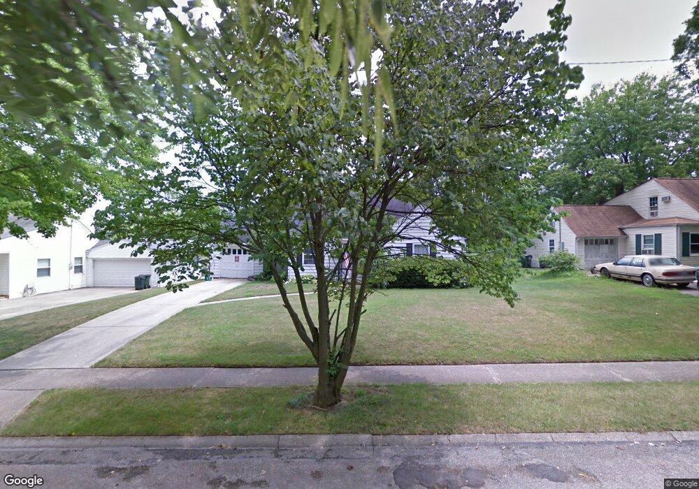
1533 Brookcrest Dr Hamilton, OH 45013
Estimated Value: $223,483 - $240,000
2
Beds
1
Bath
1,404
Sq Ft
$166/Sq Ft
Est. Value
About This Home
This home is located at 1533 Brookcrest Dr, Hamilton, OH 45013 and is currently estimated at $232,871, approximately $165 per square foot. 1533 Brookcrest Dr is a home located in Butler County with nearby schools including Brookwood Elementary School, Wilson Middle School, and Hamilton High School Main Campus.
Ownership History
Date
Name
Owned For
Owner Type
Purchase Details
Closed on
Apr 11, 2008
Sold by
Price Kenneth R and Price Sally J
Bought by
Price Sally J
Current Estimated Value
Home Financials for this Owner
Home Financials are based on the most recent Mortgage that was taken out on this home.
Original Mortgage
$55,000
Outstanding Balance
$34,299
Interest Rate
5.93%
Mortgage Type
Stand Alone Refi Refinance Of Original Loan
Estimated Equity
$198,572
Purchase Details
Closed on
Oct 1, 1987
Purchase Details
Closed on
Apr 1, 1986
Create a Home Valuation Report for This Property
The Home Valuation Report is an in-depth analysis detailing your home's value as well as a comparison with similar homes in the area
Home Values in the Area
Average Home Value in this Area
Purchase History
| Date | Buyer | Sale Price | Title Company |
|---|---|---|---|
| Price Sally J | -- | Lsi | |
| -- | $53,000 | -- | |
| -- | $47,500 | -- |
Source: Public Records
Mortgage History
| Date | Status | Borrower | Loan Amount |
|---|---|---|---|
| Open | Price Sally J | $55,000 |
Source: Public Records
Tax History
| Year | Tax Paid | Tax Assessment Tax Assessment Total Assessment is a certain percentage of the fair market value that is determined by local assessors to be the total taxable value of land and additions on the property. | Land | Improvement |
|---|---|---|---|---|
| 2025 | $2,034 | $57,680 | $9,900 | $47,780 |
| 2024 | $2,034 | $57,680 | $9,900 | $47,780 |
| 2023 | $2,038 | $57,750 | $9,900 | $47,850 |
| 2022 | $1,719 | $42,810 | $9,900 | $32,910 |
| 2021 | $1,480 | $41,420 | $9,900 | $31,520 |
| 2020 | $1,954 | $41,420 | $9,900 | $31,520 |
| 2019 | $2,266 | $30,950 | $9,920 | $21,030 |
| 2018 | $1,439 | $30,950 | $9,920 | $21,030 |
| 2017 | $1,451 | $30,950 | $9,920 | $21,030 |
| 2016 | $1,400 | $28,460 | $9,920 | $18,540 |
| 2015 | $1,393 | $28,460 | $9,920 | $18,540 |
| 2014 | $1,656 | $28,460 | $9,920 | $18,540 |
| 2013 | $1,656 | $36,040 | $13,230 | $22,810 |
Source: Public Records
Map
Nearby Homes
- 824 Carlisle Ave
- 64 Brookwood Ave
- 925 Carlisle Ave
- 987 Carlisle Ave
- 1326 Franklin St
- 1116 Azel Ave
- 46 Lexington Dr
- 540 Carlisle Ave
- 570 Fairhaven Dr
- 146 Winston Dr
- 177 Thomas Blvd
- 30 Berkshire Ct
- 75 Berkshire Ct
- 1263 Park Ave
- 974 Westview Ave
- 1044 Hunt Ave
- 900 N Lawn Ave
- 732 Millville Ave
- 1401 Park Ave
- 30 S Washington Blvd
- 1525 Brookcrest Dr
- 1541 Brookcrest Dr
- 1547 Brookcrest Dr
- 1522 Sunset Dr
- 1515 Brookcrest Dr
- 1512 Sunset Dr
- 1530 Sunset Dr
- 1538 Sunset Dr
- 1555 Brookcrest Dr
- 101 Glencross Ave
- 1505 Brookcrest Dr
- 1546 Sunset Dr
- 1563 Brookcrest Dr
- 155 Glencross Ave
- 1554 Sunset Dr
- 1519 Sunset Dr
- 65 Glencross Ave
- 1527 Sunset Dr
- 1571 Brookcrest Dr
- 1537 Sunset Dr
Your Personal Tour Guide
Ask me questions while you tour the home.