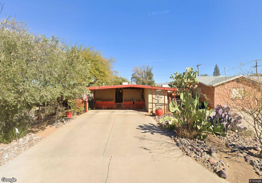
1533 E Manlove St Tucson, AZ 85719
Barrio San Antonio NeighborhoodEstimated Value: $321,003 - $379,000
Studio
2
Baths
1,092
Sq Ft
$312/Sq Ft
Est. Value
About This Home
This home is located at 1533 E Manlove St, Tucson, AZ 85719 and is currently estimated at $340,251, approximately $311 per square foot. 1533 E Manlove St is a home located in Pima County with nearby schools including Sam Hughes Elementary, Mansfeld Middle School, and Tucson High Magnet School.
Ownership History
Date
Name
Owned For
Owner Type
Purchase Details
Closed on
Mar 24, 2021
Sold by
Mcdonald Daniel A and Mcdonald Theresa M
Bought by
Mcdonald Daniel Arsene and Mcdonald Therese Mary
Current Estimated Value
Purchase Details
Closed on
Nov 24, 1997
Sold by
Quist James M
Bought by
Mcdonald Daniel A and Mcdonald Theresa M
Home Financials for this Owner
Home Financials are based on the most recent Mortgage that was taken out on this home.
Original Mortgage
$69,300
Outstanding Balance
$10,196
Interest Rate
7.33%
Mortgage Type
New Conventional
Estimated Equity
$330,055
Create a Home Valuation Report for This Property
The Home Valuation Report is an in-depth analysis detailing your home's value as well as a comparison with similar homes in the area
Home Values in the Area
Average Home Value in this Area
Purchase History
| Date | Buyer | Sale Price | Title Company |
|---|---|---|---|
| Mcdonald Daniel Arsene | -- | None Available | |
| Mcdonald Daniel A | $77,000 | -- |
Source: Public Records
Mortgage History
| Date | Status | Borrower | Loan Amount |
|---|---|---|---|
| Open | Mcdonald Daniel A | $69,300 |
Source: Public Records
Tax History
| Year | Tax Paid | Tax Assessment Tax Assessment Total Assessment is a certain percentage of the fair market value that is determined by local assessors to be the total taxable value of land and additions on the property. | Land | Improvement |
|---|---|---|---|---|
| 2026 | $2,075 | $18,675 | -- | -- |
| 2025 | $2,075 | $17,785 | -- | -- |
| 2024 | $1,987 | $16,938 | -- | -- |
| 2023 | $1,862 | $16,132 | $0 | $0 |
| 2022 | $1,877 | $15,364 | $0 | $0 |
| 2021 | $1,883 | $13,935 | $0 | $0 |
| 2020 | $1,807 | $13,935 | $0 | $0 |
| 2019 | $1,755 | $15,029 | $0 | $0 |
| 2018 | $1,675 | $12,038 | $0 | $0 |
| 2017 | $1,598 | $12,038 | $0 | $0 |
| 2016 | $1,558 | $11,465 | $0 | $0 |
| 2015 | $1,490 | $10,919 | $0 | $0 |
Source: Public Records
Map
Nearby Homes
- 1537 E Manlove St
- 1511 E Miles St
- 1515 E 12th St
- 1304 E 13th St
- 1827 E 13th St
- 1330 E Broadway Blvd
- 549 S Santa Rita Ave
- 55 N Cherry Ave Unit 205
- 55 N Cherry Ave Unit 105
- 55 N Cherry Ave Unit 211
- 628 S Curtis Ave
- 1333 E Broadway Blvd
- 615 S Star Ave
- 116 N Martin Ave
- 1001 E 17th St Unit 114
- 1001 E 17th St Unit 127
- 1001 E 17th St Unit 109
- 230 N Warren Ave
- 0 No Address Unit 22515641
- 0 No Address Unit 22521060
- 1527 E Manlove St
- 1521 E Manlove St
- 440 S Cherry Ave
- 1534 E 13th St
- 1528 E 13th St
- 1515 E Manlove St
- 404 S Cherry Ave
- 504 S Cherry Ave
- 1507 E Manlove St
- 1516 E 13th St
- 349 S Vine Ave
- 512 S Cherry Ave
- 1502 E 13th St
- 520 S Cherry Ave
- 1533 E 13th St
- 1525 E 13th St
- 1579 E 13th St
- 345 S Cherry Ave
- 1521 E 13th St
- 1575 E 13th St