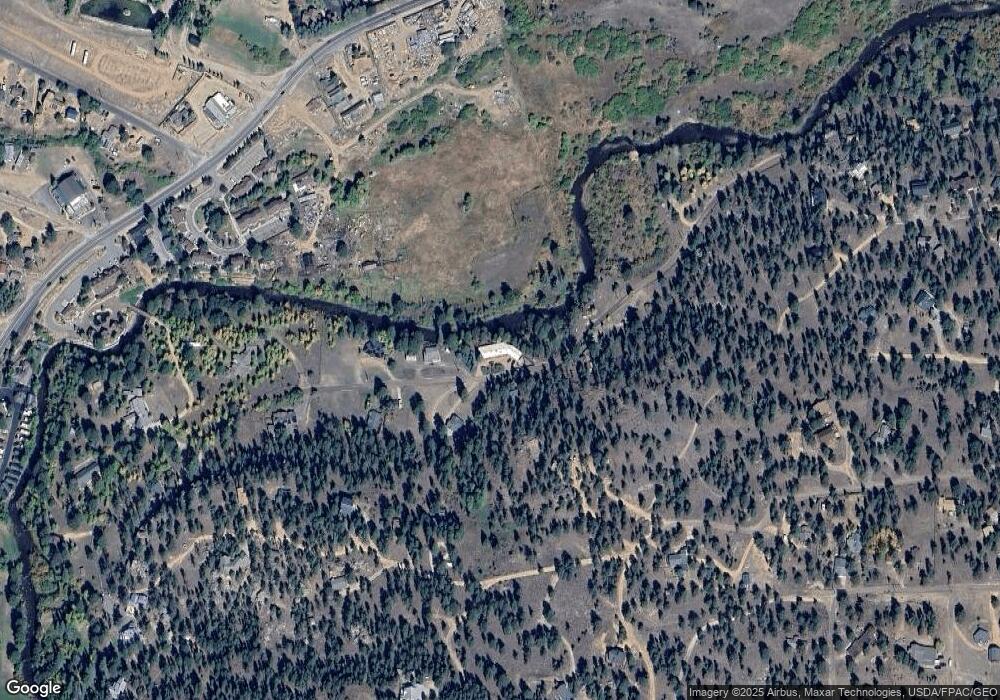
1533 Lower Broadview Rd Estes Park, CO 80517
Estimated Value: $917,933 - $1,102,000
3
Beds
2
Baths
2,200
Sq Ft
$446/Sq Ft
Est. Value
About This Home
This home is located at 1533 Lower Broadview Rd, Estes Park, CO 80517 and is currently estimated at $981,733, approximately $446 per square foot. 1533 Lower Broadview Rd is a home located in Larimer County with nearby schools including Estes Park K-5 School, Estes Park Options School, and Estes Park Middle School.
Ownership History
Date
Name
Owned For
Owner Type
Purchase Details
Closed on
Nov 10, 2011
Sold by
Woodman Michael D and Woodman Carol A
Bought by
Livingston Roberta Jane
Current Estimated Value
Home Financials for this Owner
Home Financials are based on the most recent Mortgage that was taken out on this home.
Original Mortgage
$393,750
Outstanding Balance
$269,276
Interest Rate
4.08%
Mortgage Type
New Conventional
Estimated Equity
$712,457
Purchase Details
Closed on
Dec 12, 2000
Sold by
Margueretta Grace Springer Trust Midwest Trus
Bought by
Woodman Michael D and Woodman Carol A
Home Financials for this Owner
Home Financials are based on the most recent Mortgage that was taken out on this home.
Original Mortgage
$297,000
Interest Rate
7.72%
Purchase Details
Closed on
Sep 19, 1997
Sold by
Boatmens Trust Company
Bought by
The Midwest Trust Company
Create a Home Valuation Report for This Property
The Home Valuation Report is an in-depth analysis detailing your home's value as well as a comparison with similar homes in the area
Home Values in the Area
Average Home Value in this Area
Purchase History
| Date | Buyer | Sale Price | Title Company |
|---|---|---|---|
| Livingston Roberta Jane | $525,000 | None Available | |
| Woodman Michael D | $330,000 | -- | |
| The Midwest Trust Company | -- | -- |
Source: Public Records
Mortgage History
| Date | Status | Borrower | Loan Amount |
|---|---|---|---|
| Open | Livingston Roberta Jane | $393,750 | |
| Previous Owner | Woodman Michael D | $297,000 |
Source: Public Records
Tax History Compared to Growth
Tax History
| Year | Tax Paid | Tax Assessment Tax Assessment Total Assessment is a certain percentage of the fair market value that is determined by local assessors to be the total taxable value of land and additions on the property. | Land | Improvement |
|---|---|---|---|---|
| 2025 | $3,857 | $57,694 | $36,850 | $20,844 |
| 2024 | $3,814 | $57,694 | $36,850 | $20,844 |
| 2022 | $3,440 | $46,148 | $19,460 | $26,688 |
| 2021 | $3,532 | $47,476 | $20,020 | $27,456 |
| 2020 | $4,278 | $56,671 | $20,020 | $36,651 |
| 2019 | $4,247 | $56,671 | $20,020 | $36,651 |
| 2018 | $3,339 | $43,178 | $18,720 | $24,458 |
| 2017 | $3,357 | $43,178 | $18,720 | $24,458 |
| 2015 | $2,862 | $38,600 | $22,130 | $16,470 |
| 2014 | $2,425 | $33,610 | $20,700 | $12,910 |
Source: Public Records
Map
Nearby Homes
- 1565 State Highway 66 Unit 33
- 1565 Highway 66 Unit 46
- 1565 Highway 66 Unit 49
- 1565 Highway 66 Unit 28
- 1263 Broadview
- 1401 High Dr
- 831 Larkspur Rd
- 1611 High Dr
- 811 Larkspur Rd
- 821 Windy Rose Dr
- 810 Larkspur Rd
- 739 Larkspur Rd
- 0 Alpaca Farm Way
- 725 Upper Larkspur Ln
- 1141 Wallace Ln
- 760 Meadow Cir
- 2220 Eagle Cliff Rd
- 1252 Giant Track Rd
- 1352 Alpenglow Ln
- 2238 Eagle Cliff Rd
- 1520 Lower Broadview Rd
- 1575 Lower Broadview Rd
- 1570 Lower Broadview Rd
- 1480 Lower Broadview Rd
- 9999 Broadview
- 1475 Lower Broadview Rd
- 1601 Lower Broadview Rd
- 1610 Lower Broadview Rd
- 1460 Lower Broadview Rd
- 1485 Upper Broadview Rd
- 1565 Upper Broadview Rd
- 1670 State Highway 66
- 1591 Upper Broadview Rd
- 1433 Lower Broadview Rd
- 1615 Upper Broadview Rd
- 1660 Lower Broadview Rd
- 1655 Lower Broadview Rd
- 1655 Upper Broadview Rd
- 1430 Upper Broadview Rd
- 1600 Upper Broadview Rd
