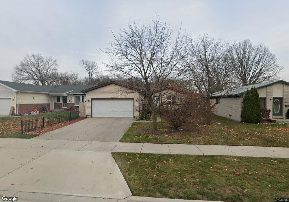
1533 Reid Ave Port Huron, MI 48060
Estimated Value: $151,000 - $161,000
2
Beds
1
Bath
1,018
Sq Ft
$154/Sq Ft
Est. Value
About This Home
This home is located at 1533 Reid Ave, Port Huron, MI 48060 and is currently estimated at $156,409, approximately $153 per square foot. 1533 Reid Ave is a home located in St. Clair County with nearby schools including Michigamme Elementary School, Central Middle School, and Port Huron High School.
Ownership History
Date
Name
Owned For
Owner Type
Purchase Details
Closed on
Feb 26, 2009
Sold by
Suiter Melvin and Suiter Lynn
Bought by
The Federal National Mortgage Associatio
Current Estimated Value
Purchase Details
Closed on
Dec 28, 2007
Sold by
Federal Home Loan Mortgage Corporation
Bought by
Sutter Melvin
Home Financials for this Owner
Home Financials are based on the most recent Mortgage that was taken out on this home.
Original Mortgage
$70,775
Interest Rate
6.13%
Mortgage Type
New Conventional
Purchase Details
Closed on
Feb 8, 2007
Sold by
Urie Dennis and Urie Judy
Bought by
Federal Home Loan Mortgage Corporation
Create a Home Valuation Report for This Property
The Home Valuation Report is an in-depth analysis detailing your home's value as well as a comparison with similar homes in the area
Home Values in the Area
Average Home Value in this Area
Purchase History
| Date | Buyer | Sale Price | Title Company |
|---|---|---|---|
| The Federal National Mortgage Associatio | $76,988 | None Available | |
| Sutter Melvin | $74,500 | None Available | |
| Federal Home Loan Mortgage Corporation | $85,517 | None Available |
Source: Public Records
Mortgage History
| Date | Status | Borrower | Loan Amount |
|---|---|---|---|
| Previous Owner | Sutter Melvin | $70,775 |
Source: Public Records
Tax History Compared to Growth
Tax History
| Year | Tax Paid | Tax Assessment Tax Assessment Total Assessment is a certain percentage of the fair market value that is determined by local assessors to be the total taxable value of land and additions on the property. | Land | Improvement |
|---|---|---|---|---|
| 2025 | $1,825 | $66,100 | $0 | $0 |
| 2024 | $1,530 | $66,100 | $0 | $0 |
| 2023 | $1,446 | $59,400 | $0 | $0 |
| 2022 | $1,492 | $51,800 | $0 | $0 |
| 2021 | $1,417 | $47,300 | $0 | $0 |
| 2020 | $1,433 | $44,900 | $44,900 | $0 |
| 2019 | $1,407 | $32,800 | $0 | $0 |
| 2018 | $1,376 | $32,800 | $0 | $0 |
| 2017 | $1,229 | $29,900 | $0 | $0 |
| 2016 | $1,047 | $29,900 | $0 | $0 |
| 2015 | $1,027 | $29,900 | $29,900 | $0 |
| 2014 | $1,027 | $29,100 | $29,100 | $0 |
| 2013 | -- | $28,200 | $0 | $0 |
Source: Public Records
Map
Nearby Homes
- 2977 Military St
- 2815 Military St
- 1403 Catherine McAuley Dr
- 2718 Electric Ave
- 3136 Military St
- 2710 Electric Ave
- 1414 Beard St
- 2724 Military St
- 9999 Cleveland Ave
- 2704 Military St
- 2627 24th St
- 2411 10th St
- 2444 Military St
- 9999 24th St
- 823 Beard St
- 2506 Vanness St
- 2430 Military St Unit 2434
- Lot 3 24th St
- 2600 Vanness St
- 2203 VL Railroad St