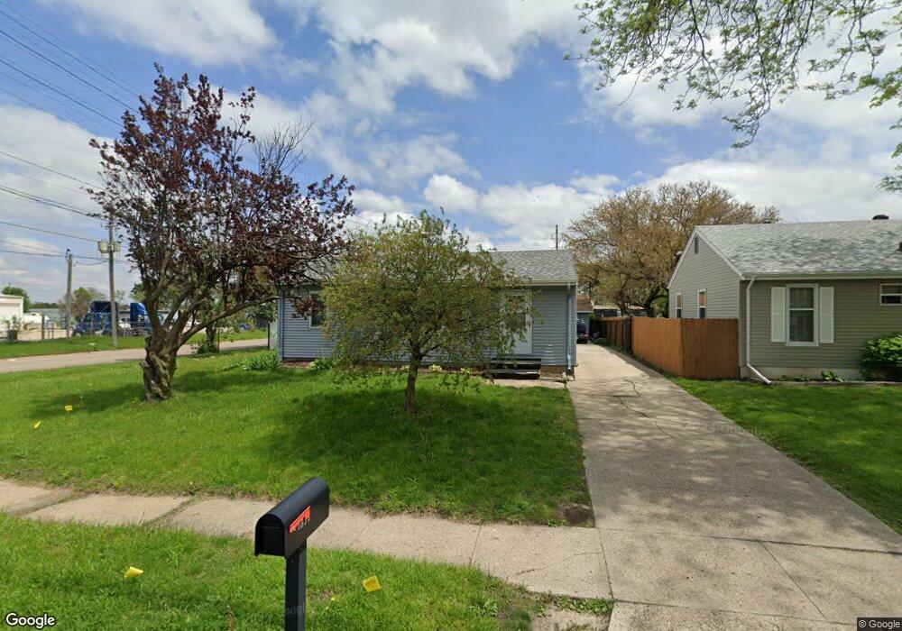
1533 Sampson St Des Moines, IA 50316
Martin Luther King Jr Park NeighborhoodEstimated Value: $169,000 - $188,528
3
Beds
1
Bath
899
Sq Ft
$194/Sq Ft
Est. Value
About This Home
This home is located at 1533 Sampson St, Des Moines, IA 50316 and is currently estimated at $174,132, approximately $193 per square foot. 1533 Sampson St is a home located in Polk County with nearby schools including Garton Elementary School, Hiatt Middle School, and East High School.
Ownership History
Date
Name
Owned For
Owner Type
Purchase Details
Closed on
Mar 7, 1999
Sold by
Williams Denise M and Williams Garrette K
Bought by
Sam Sin and Sophan Chandorn
Current Estimated Value
Home Financials for this Owner
Home Financials are based on the most recent Mortgage that was taken out on this home.
Original Mortgage
$53,873
Outstanding Balance
$12,916
Interest Rate
6.89%
Mortgage Type
FHA
Estimated Equity
$161,216
Create a Home Valuation Report for This Property
The Home Valuation Report is an in-depth analysis detailing your home's value as well as a comparison with similar homes in the area
Home Values in the Area
Average Home Value in this Area
Purchase History
| Date | Buyer | Sale Price | Title Company |
|---|---|---|---|
| Sam Sin | $53,500 | -- |
Source: Public Records
Mortgage History
| Date | Status | Borrower | Loan Amount |
|---|---|---|---|
| Open | Sam Sin | $53,873 |
Source: Public Records
Tax History Compared to Growth
Tax History
| Year | Tax Paid | Tax Assessment Tax Assessment Total Assessment is a certain percentage of the fair market value that is determined by local assessors to be the total taxable value of land and additions on the property. | Land | Improvement |
|---|---|---|---|---|
| 2025 | $2,816 | $174,400 | $19,400 | $155,000 |
| 2024 | $2,816 | $153,600 | $16,900 | $136,700 |
| 2023 | $2,512 | $153,600 | $16,900 | $136,700 |
| 2022 | $2,492 | $115,500 | $13,300 | $102,200 |
| 2021 | $2,428 | $115,500 | $13,300 | $102,200 |
| 2020 | $2,518 | $105,900 | $12,200 | $93,700 |
| 2019 | $2,432 | $105,900 | $12,200 | $93,700 |
| 2018 | $2,402 | $99,000 | $11,100 | $87,900 |
| 2017 | $2,248 | $99,000 | $11,100 | $87,900 |
| 2016 | $2,184 | $91,600 | $10,100 | $81,500 |
| 2015 | $2,184 | $91,600 | $10,100 | $81,500 |
| 2014 | $1,938 | $84,600 | $9,200 | $75,400 |
Source: Public Records
Map
Nearby Homes
- 1429 E 17th St
- 1345 Sampson St
- 1536 Stewart St
- 1531 Stewart St
- 1526 E Jefferson Ave
- 1411 Idaho St
- 2009 Glenbrook Dr
- 1602 Wilson Ave
- 1404 E 19th St
- 1529 E 19th St
- 1348 Idaho St
- 1443 Wilson Ave
- 1306 E 15th St
- 1266 E 18th St
- 1273 E 18th St
- 1236 Stewart St
- 1613 York St
- 1400 Mattern Ave
- 1457 Guthrie Ave
- 1514 Guthrie Ave
- 1529 Sampson St
- 1525 Sampson St
- 1521 Sampson St
- 1524 17th St
- 1532 Sampson St
- 1528 Sampson St
- 1517 Sampson St
- 1520 E 17th St
- 1524 Sampson St
- 1520 Sampson St
- 1516 E 17th St
- 1513 Sampson St
- 1516 Sampson St
- 1512 E 17th St
- 1509 Sampson St
- 1512 Sampson St
- 1535 Mccormick St
- 1531 E 17th St
- 1531 Mccormick St
- 1508 E 17th St