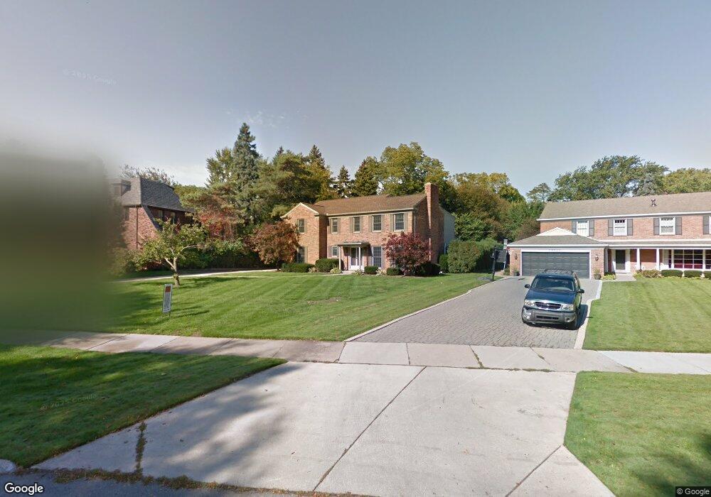
15335 Windmill Pointe Dr Grosse Pointe Park, MI 48230
Estimated Value: $785,000 - $894,000
--
Bed
2
Baths
3,110
Sq Ft
$276/Sq Ft
Est. Value
About This Home
This home is located at 15335 Windmill Pointe Dr, Grosse Pointe Park, MI 48230 and is currently estimated at $856,887, approximately $275 per square foot. 15335 Windmill Pointe Dr is a home located in Wayne County with nearby schools including Pierce Middle School, Grosse Pointe South High School, and Detroit Merit Charter Academy.
Ownership History
Date
Name
Owned For
Owner Type
Purchase Details
Closed on
Jun 25, 2024
Sold by
Downey Michael A and Downey Dorotha A
Bought by
Downey Dorotha A and Michael And Dorotha Downey Revocable Trust
Current Estimated Value
Purchase Details
Closed on
Jul 25, 2012
Sold by
Agley James R and Agney Kay
Bought by
Downey Michael A and Downey Dorotha A
Home Financials for this Owner
Home Financials are based on the most recent Mortgage that was taken out on this home.
Original Mortgage
$408,000
Interest Rate
3.65%
Mortgage Type
New Conventional
Create a Home Valuation Report for This Property
The Home Valuation Report is an in-depth analysis detailing your home's value as well as a comparison with similar homes in the area
Home Values in the Area
Average Home Value in this Area
Purchase History
| Date | Buyer | Sale Price | Title Company |
|---|---|---|---|
| Downey Dorotha A | -- | None Listed On Document | |
| Michael And Dorotha Downey Revocable Trust | -- | None Listed On Document | |
| Downey Michael A | $510,000 | First American Title Ins Co |
Source: Public Records
Mortgage History
| Date | Status | Borrower | Loan Amount |
|---|---|---|---|
| Previous Owner | Downey Michael A | $408,000 |
Source: Public Records
Tax History Compared to Growth
Tax History
| Year | Tax Paid | Tax Assessment Tax Assessment Total Assessment is a certain percentage of the fair market value that is determined by local assessors to be the total taxable value of land and additions on the property. | Land | Improvement |
|---|---|---|---|---|
| 2025 | $7,660 | $413,300 | $0 | $0 |
| 2024 | $7,660 | $383,400 | $0 | $0 |
| 2023 | $7,314 | $333,300 | $0 | $0 |
| 2022 | $6,949 | $315,300 | $0 | $0 |
| 2021 | $13,702 | $338,600 | $0 | $0 |
| 2019 | $14,100 | $368,100 | $0 | $0 |
| 2018 | $6,626 | $336,600 | $0 | $0 |
| 2017 | $14,449 | $269,900 | $0 | $0 |
| 2016 | $13,655 | $331,700 | $0 | $0 |
| 2015 | $24,795 | $302,500 | $0 | $0 |
| 2013 | $24,020 | $245,200 | $0 | $0 |
| 2012 | $6,113 | $231,900 | $61,800 | $170,100 |
Source: Public Records
Map
Nearby Homes
- 15345 Windmill Pointe Dr
- 15215 Windmill Pointe Dr
- 15230 Windmill Pointe Dr
- 614 Pemberton Rd
- 225 Ashland St
- 709 Middlesex Rd
- 289 Manistique St
- 14511 Harbor Island St
- 784 Barrington Rd
- 718 Berkshire Rd
- 429 Manistique St
- 504 Alter Rd
- 14356 Harbor Island
- 388 Chalmers St
- 458 Marlborough St
- 402 Chalmers St
- 487 Philip St
- 383 Chalmers St
- 219 Lakewood St
- 220 Newport St
- 15335 Windmill
- 15321 Windmill Pointe Dr
- 15321 Windmill
- 15355 Windmill Pointe Dr
- 15315 Windmill Pointe Dr
- 505 Middlesex Rd
- 506 Lakepointe St
- 15305 Windmill Pointe Dr
- 508 Lakepointe St
- 512 Lakepointe St
- 515 Middlesex Rd
- 15366 Windmill Pointe Dr
- 516 Lakepointe St
- 520 Lakepointe St
- 15231 Windmill Pointe Dr
- 15410 Windmill Pointe Dr
- 505 Lakepointe St
- 501 Lakepointe St
- 521 Middlesex Rd
- 507 Lakepointe St