1534 Old Highway 141 Sioux City, IA 51106
Estimated Value: $304,000 - $501,000
3
Beds
2
Baths
1,812
Sq Ft
$234/Sq Ft
Est. Value
About This Home
This home is located at 1534 Old Highway 141, Sioux City, IA 51106 and is currently estimated at $423,830, approximately $233 per square foot. 1534 Old Highway 141 is a home located in Woodbury County with nearby schools including Sergeant Bluff-Luton Primary School, Sergeant Bluff-Luton Elementary School, and Sergeant Bluff-Luton Middle School.
Ownership History
Date
Name
Owned For
Owner Type
Purchase Details
Closed on
May 29, 2009
Sold by
Campbell Barbara
Bought by
Olson Charles R and Olson Heidi N
Current Estimated Value
Home Financials for this Owner
Home Financials are based on the most recent Mortgage that was taken out on this home.
Original Mortgage
$225,885
Outstanding Balance
$142,719
Interest Rate
4.85%
Mortgage Type
FHA
Estimated Equity
$281,111
Create a Home Valuation Report for This Property
The Home Valuation Report is an in-depth analysis detailing your home's value as well as a comparison with similar homes in the area
Home Values in the Area
Average Home Value in this Area
Purchase History
| Date | Buyer | Sale Price | Title Company |
|---|---|---|---|
| Olson Charles R | $230,500 | None Available |
Source: Public Records
Mortgage History
| Date | Status | Borrower | Loan Amount |
|---|---|---|---|
| Open | Olson Charles R | $225,885 |
Source: Public Records
Tax History Compared to Growth
Tax History
| Year | Tax Paid | Tax Assessment Tax Assessment Total Assessment is a certain percentage of the fair market value that is determined by local assessors to be the total taxable value of land and additions on the property. | Land | Improvement |
|---|---|---|---|---|
| 2025 | $3,924 | $401,740 | $67,200 | $334,540 |
| 2024 | $3,924 | $395,080 | $45,000 | $350,080 |
| 2023 | $3,186 | $395,080 | $45,000 | $350,080 |
| 2022 | $3,158 | $273,430 | $45,000 | $228,430 |
| 2021 | $3,158 | $273,430 | $45,000 | $228,430 |
| 2020 | $3,110 | $259,550 | $48,150 | $211,400 |
| 2019 | $2,986 | $259,550 | $48,150 | $211,400 |
| 2018 | $2,962 | $247,510 | $36,110 | $211,400 |
| 2017 | $3,134 | $247,510 | $36,110 | $211,400 |
| 2016 | $3,188 | $230,190 | $0 | $0 |
| 2015 | $3,206 | $213,360 | $33,750 | $179,610 |
| 2014 | $3,042 | $213,360 | $33,750 | $179,610 |
Source: Public Records
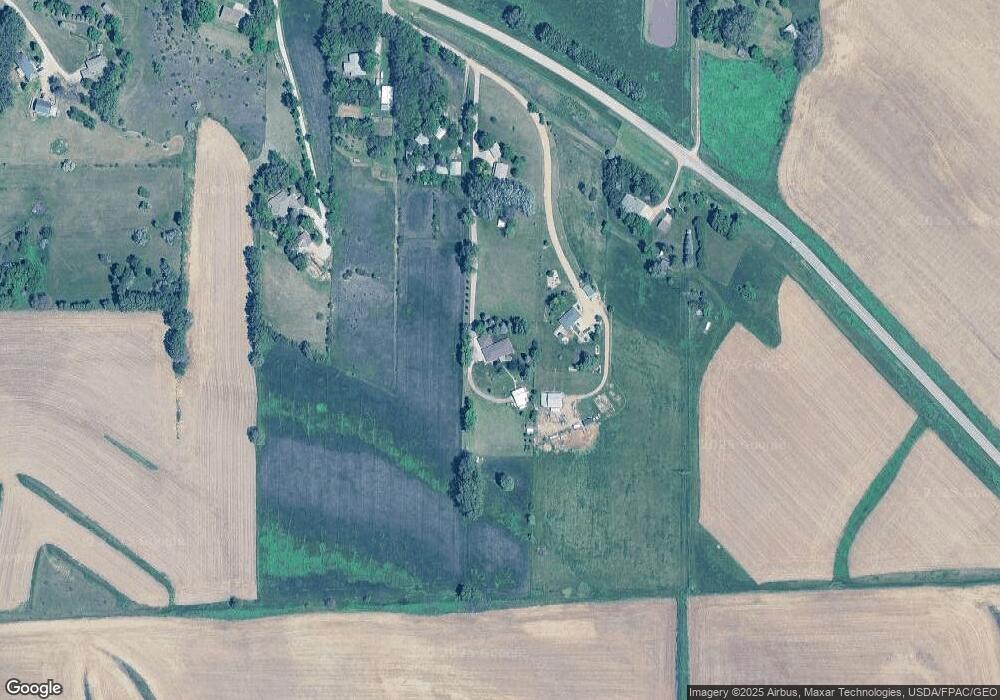
Map
Nearby Homes
- 6700 Windsong Ct
- 6701 Windsong Ct
- 6810 Brookside Dr
- 3441 Glen Ellen Rd
- 17 Heritage Place
- 6540 Palm Valley Dr
- 5225 Lynx Ct
- 5201 Lynx Ct
- 5510 Christy Rd
- 1903 Elk Creek Rd
- 4523 Elk Creek Rd
- 4529 Elk Creek Rd
- 4517 Elk Creek Rd
- 4449 Elk Creek Rd
- 4501 Elk Creek Rd
- 4439 Elk Creek Rd
- 4459 Elk Creek Rd
- 4571 Elk Creek Rd
- 4551 Elk Creek Rd
- 4559 Elk Creek Rd
- 1546 Old Highway 141
- 1528 Old Highway 141
- 1538 Old Highway 141
- 1526 Old Highway 141
- 1516 Old Highway 141
- 1524 Old Highway 141
- 0 Old Hwy 141 Unit 602463
- 0 Old Hwy 141 Unit 602563
- 1514 Old Highway 141
- 1541 Old Highway 141
- 1550 180th St
- 1808 Glen Ellen Rd
- 1808 Glen Ellen Rd
- 1810 Glen Ellen Rd
- 1511 Old Highway 141
- 1515 Old Highway 141
- 1850 Glen Ellen Rd
- 1824 Glen Ellen Rd
- 1834 Glen Ellen Rd
- 1858 Glen Ellen Rd