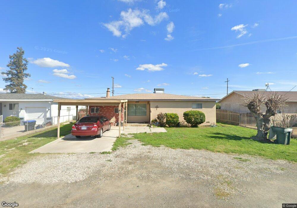
15348 Cedar Rd Porterville, CA 93257
Porterville Northwest NeighborhoodEstimated Value: $200,282 - $308,000
--
Bed
--
Bath
1,479
Sq Ft
$172/Sq Ft
Est. Value
About This Home
This home is located at 15348 Cedar Rd, Porterville, CA 93257 and is currently estimated at $254,071, approximately $171 per square foot. 15348 Cedar Rd is a home located in Tulare County with nearby schools including Rockford Elementary School, Monache High School, and Strathmore High School.
Ownership History
Date
Name
Owned For
Owner Type
Purchase Details
Closed on
Nov 10, 2015
Sold by
Rangel Mary Esther
Bought by
Rangel Mary Esther
Current Estimated Value
Purchase Details
Closed on
Nov 2, 2015
Sold by
Rangel Mary Esther
Bought by
Rangel May Esther and The 2015 Mary Esther Rangel Trust
Purchase Details
Closed on
Oct 15, 2013
Sold by
Rangel Mary Esther
Bought by
Rangel Mary Esther and Delgado Abby M
Create a Home Valuation Report for This Property
The Home Valuation Report is an in-depth analysis detailing your home's value as well as a comparison with similar homes in the area
Home Values in the Area
Average Home Value in this Area
Purchase History
| Date | Buyer | Sale Price | Title Company |
|---|---|---|---|
| Rangel Mary Esther | -- | None Available | |
| Rangel May Esther | -- | None Available | |
| Rangel Mary Esther | -- | None Available |
Source: Public Records
Tax History Compared to Growth
Tax History
| Year | Tax Paid | Tax Assessment Tax Assessment Total Assessment is a certain percentage of the fair market value that is determined by local assessors to be the total taxable value of land and additions on the property. | Land | Improvement |
|---|---|---|---|---|
| 2025 | $325 | $39,200 | $7,342 | $31,858 |
| 2024 | $325 | $38,433 | $7,199 | $31,234 |
| 2023 | $323 | $37,680 | $7,058 | $30,622 |
| 2022 | $309 | $36,942 | $6,920 | $30,022 |
| 2021 | $303 | $36,217 | $6,784 | $29,433 |
| 2020 | $298 | $35,845 | $6,714 | $29,131 |
| 2019 | $291 | $35,142 | $6,582 | $28,560 |
| 2018 | $284 | $34,453 | $6,453 | $28,000 |
| 2017 | $277 | $33,777 | $6,326 | $27,451 |
| 2016 | $265 | $33,115 | $6,202 | $26,913 |
| 2015 | $260 | $32,618 | $6,109 | $26,509 |
| 2014 | $252 | $31,979 | $5,989 | $25,990 |
Source: Public Records
Map
Nearby Homes
- 15247 Road 223
- 249 S Westwood St
- 575 N Brandy Way
- 2300 W Morton Ave Unit 163
- 2300 W Morton Ave Unit 22
- 2300 W Morton Ave Unit 135
- 2320 W Kanai Ave
- 2540 W Porter Creek Ave
- 100 S Westwood St Unit 1
- 100 S Westwood St Unit 17
- 100 S Westwood St
- 100 S Westwood St Unit Lot 105
- 100 S Westwood St Unit 110
- 100 S Westwood St Unit Lot 71
- 100 S Westwood St Unit 92
- 2179 W Della Ave
- Sydney Plan at Laurelwood
- Carlton Plan at Laurelwood
- Carmel Plan at Laurelwood
- Aspen with Loft Plan at Laurelwood
- 15358 Cedar Rd
- 15338 Cedar Rd
- 15326 Cedar Rd
- 15370 Cedar Rd
- 15380 Cedar Rd
- 15345 Cedar Rd
- 15318 Cedar Rd
- 15357 Cedar Rd
- 15371 Cedar Rd
- 15325 Cedar Rd
- 15306 Cedar Rd
- 15390 Cedar Rd
- 15390 E Cedar
- 15379 Cedar Rd
- 15317 Cedar Rd
- 15305 Cedar Rd
- 15391 Cedar Rd
- 15296 Cedar Rd
- 15344 Magnolia Rd
- 15336 Magnolia Rd