1535 Nh Route 119 Rindge, NH 03461
Estimated Value: $434,000 - $574,000
2
Beds
2
Baths
2,335
Sq Ft
$208/Sq Ft
Est. Value
About This Home
This home is located at 1535 Nh Route 119, Rindge, NH 03461 and is currently estimated at $485,040, approximately $207 per square foot. 1535 Nh Route 119 is a home with nearby schools including Rindge Memorial School, Conant Middle High School, and Conant High School.
Ownership History
Date
Name
Owned For
Owner Type
Purchase Details
Closed on
May 23, 1996
Sold by
Durocher Russell A and Durocher Olive C
Bought by
Speckman Kevin J and Speckman Kerry A
Current Estimated Value
Home Financials for this Owner
Home Financials are based on the most recent Mortgage that was taken out on this home.
Original Mortgage
$104,039
Outstanding Balance
$5,933
Interest Rate
8.01%
Estimated Equity
$479,107
Create a Home Valuation Report for This Property
The Home Valuation Report is an in-depth analysis detailing your home's value as well as a comparison with similar homes in the area
Home Values in the Area
Average Home Value in this Area
Purchase History
| Date | Buyer | Sale Price | Title Company |
|---|---|---|---|
| Speckman Kevin J | $104,900 | -- |
Source: Public Records
Mortgage History
| Date | Status | Borrower | Loan Amount |
|---|---|---|---|
| Open | Speckman Kevin J | $104,039 |
Source: Public Records
Tax History Compared to Growth
Tax History
| Year | Tax Paid | Tax Assessment Tax Assessment Total Assessment is a certain percentage of the fair market value that is determined by local assessors to be the total taxable value of land and additions on the property. | Land | Improvement |
|---|---|---|---|---|
| 2024 | $5,675 | $224,200 | $58,800 | $165,400 |
| 2023 | $5,614 | $224,200 | $58,800 | $165,400 |
| 2022 | $5,163 | $224,200 | $58,800 | $165,400 |
| 2021 | $5,078 | $224,200 | $58,800 | $165,400 |
| 2020 | $5,033 | $224,200 | $58,800 | $165,400 |
| 2019 | $4,755 | $171,300 | $31,000 | $140,300 |
| 2018 | $4,711 | $171,300 | $31,000 | $140,300 |
| 2017 | $4,658 | $171,300 | $31,000 | $140,300 |
| 2016 | $4,781 | $171,300 | $31,000 | $140,300 |
| 2015 | $4,778 | $171,300 | $31,000 | $140,300 |
| 2014 | $4,829 | $185,500 | $61,700 | $123,800 |
| 2013 | $4,723 | $185,500 | $61,700 | $123,800 |
Source: Public Records
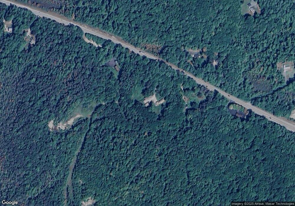
Map
Nearby Homes
- 41 Willow Ln
- 43 Willow Ln
- 37 Willow Ln
- 31 Willow Ln
- 39 Willow Ln
- 26 Weidner Dr
- 20 W Main St
- 0 Thomas Rd Unit 10 5014817
- 17 Jowders Cove Rd
- 94 Main St
- 12 Mark St
- 45 Monadnock View Rd
- 54 Payson Hill Rd
- 196 Lord Brook Rd
- 47 Old Military Rd
- 88 Drag Hill Rd
- 436 Ingalls Rd
- Lot 14-0 Saybrook Dr
- 1 Saybrook Dr
- 22 Daria Dr
- 1533 Nh Route 119
- 1551 New Hampshire 119
- 1551 Nh Route 119
- 1523 Nh Route 119
- 1523 New Hampshire 119
- 1524 Nh Route 119
- 1524 Nh Route 119
- 1585 Nh Route 119
- 19 Owen Way
- 69 Mountain Rd
- 1595 Nh Route 119
- 48 Village Dr
- 50 Village Dr
- 44 Village Dr
- 63 Mountain Rd
- 42 Cromwell Dr Unit 17
- 42 Cromwell Dr Unit 16
- 42 Cromwell Dr
- 42 Village Dr
- 91 Mountain Rd