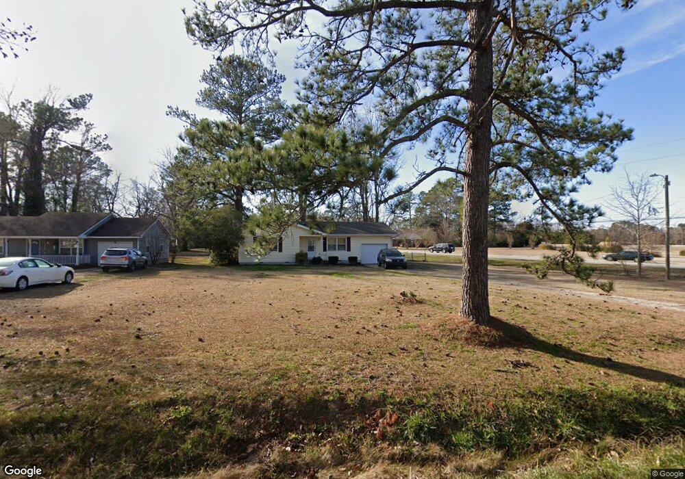
1535 Onslow Pines Rd Jacksonville, NC 28540
Estimated Value: $203,000 - $225,000
3
Beds
2
Baths
1,083
Sq Ft
$201/Sq Ft
Est. Value
About This Home
This home is located at 1535 Onslow Pines Rd, Jacksonville, NC 28540 and is currently estimated at $217,512, approximately $200 per square foot. 1535 Onslow Pines Rd is a home located in Onslow County with nearby schools including Blue Creek Elementary School, Southwest Middle School, and Southwest High School.
Ownership History
Date
Name
Owned For
Owner Type
Purchase Details
Closed on
Feb 1, 2010
Sold by
Hart Stephanie D
Bought by
Lawson Adam D and Lawson Karissa M
Current Estimated Value
Home Financials for this Owner
Home Financials are based on the most recent Mortgage that was taken out on this home.
Original Mortgage
$135,714
Outstanding Balance
$89,999
Interest Rate
5.07%
Mortgage Type
New Conventional
Estimated Equity
$127,513
Purchase Details
Closed on
Jun 5, 2007
Sold by
Lowder Teresa Y
Bought by
Hart Stephanie D
Home Financials for this Owner
Home Financials are based on the most recent Mortgage that was taken out on this home.
Original Mortgage
$117,302
Interest Rate
6.16%
Mortgage Type
VA
Create a Home Valuation Report for This Property
The Home Valuation Report is an in-depth analysis detailing your home's value as well as a comparison with similar homes in the area
Home Values in the Area
Average Home Value in this Area
Purchase History
| Date | Buyer | Sale Price | Title Company |
|---|---|---|---|
| Lawson Adam D | $133,000 | None Available | |
| Hart Stephanie D | $113,500 | Chicago Title Insurance Co |
Source: Public Records
Mortgage History
| Date | Status | Borrower | Loan Amount |
|---|---|---|---|
| Open | Lawson Adam D | $135,714 | |
| Previous Owner | Hart Stephanie D | $117,302 |
Source: Public Records
Tax History Compared to Growth
Tax History
| Year | Tax Paid | Tax Assessment Tax Assessment Total Assessment is a certain percentage of the fair market value that is determined by local assessors to be the total taxable value of land and additions on the property. | Land | Improvement |
|---|---|---|---|---|
| 2025 | $876 | $133,805 | $25,200 | $108,605 |
| 2024 | $876 | $133,805 | $25,200 | $108,605 |
| 2023 | $876 | $133,805 | $25,200 | $108,605 |
| 2022 | $876 | $133,805 | $25,200 | $108,605 |
| 2021 | $695 | $98,600 | $21,600 | $77,000 |
| 2020 | $695 | $98,600 | $21,600 | $77,000 |
| 2019 | $695 | $98,600 | $21,600 | $77,000 |
| 2018 | $695 | $98,600 | $21,600 | $77,000 |
| 2017 | $722 | $106,980 | $25,200 | $81,780 |
| 2016 | $722 | $106,980 | $0 | $0 |
| 2015 | $722 | $106,980 | $0 | $0 |
| 2014 | $722 | $106,980 | $0 | $0 |
Source: Public Records
Map
Nearby Homes
- 525 Edwards Rd
- 111 Lynn Ct
- 134 Andrea Ave
- 1634 Murrill Hill Rd
- 1655 Murrill Hill Rd
- 2137 Burgaw Hwy
- 316 Birch Ct
- 311 Maplehurst Dr
- 1253 Gould Rd
- 517 Ginn St
- 502 Ginn St
- 305 Forbes Ln
- 21 Edith Dr
- 16 Edith Dr
- 15 Edith Dr
- 1342 Old Maplehurst Rd
- 2300 Burgaw Hwy
- 106 Lindsey Dr
- 909 Springdale Dr
- 94 Pollard Dr
- 1531 Onslow Pines Rd
- 1527 Onslow Pines Rd
- 1899 Burgaw Hwy
- 1530 Onslow Pines Rd
- 1528 Onslow Pines Rd
- 1526 Onslow Pines Rd
- 1523 Onslow Pines Rd
- 1851 Burgaw Hwy
- 1900 Burgaw Hwy
- 501 Edwards Rd
- 112 Friendly Ln
- 503 Edwards Rd
- 1517 Onslow Pines Rd
- 1852 Burgaw Hwy
- 1522 Onslow Pines Rd
- 1518 Onslow Pines Rd
- 5 Joes Ct
- 4 Joes Ct
- 3 Joes Ct
- 1515 Onslow Pines Rd