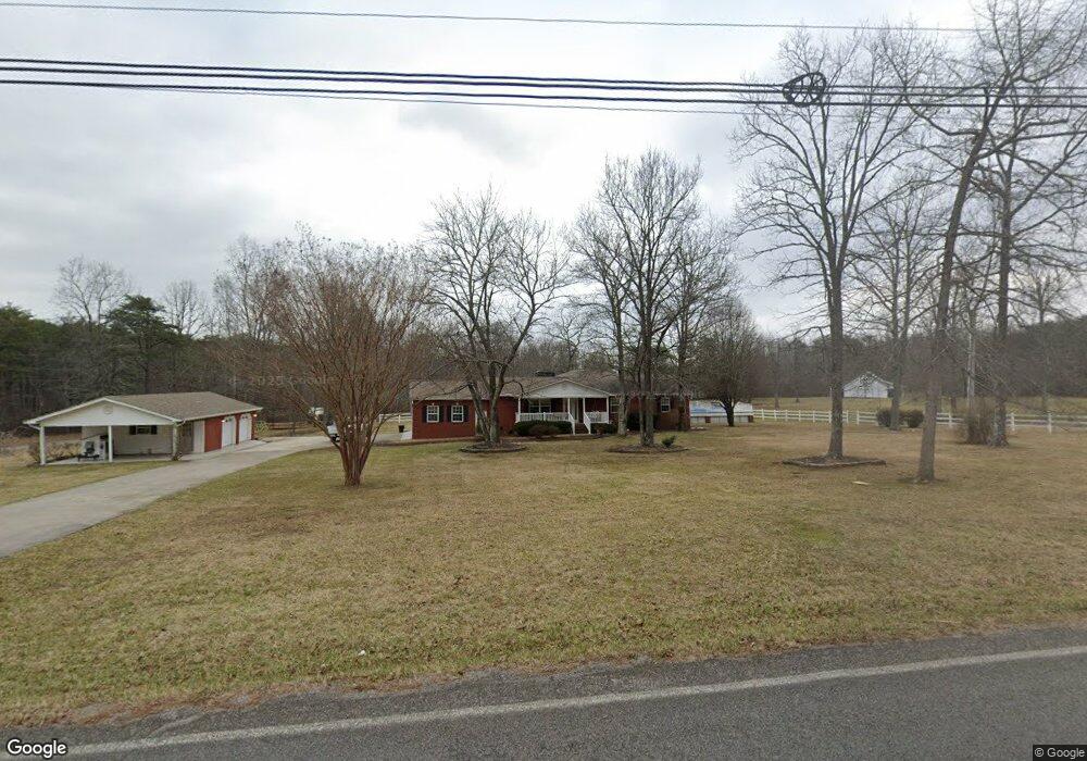
1535 Poe Rd Soddy Daisy, TN 37379
Estimated Value: $348,000 - $504,000
--
Bed
--
Bath
2,216
Sq Ft
$189/Sq Ft
Est. Value
About This Home
This home is located at 1535 Poe Rd, Soddy Daisy, TN 37379 and is currently estimated at $418,260, approximately $188 per square foot. 1535 Poe Rd is a home located in Hamilton County.
Ownership History
Date
Name
Owned For
Owner Type
Purchase Details
Closed on
Sep 13, 2021
Sold by
Sparks Morrow Kiwana Faye and Morrow Randall Scott
Bought by
Morrow Randall Scott
Current Estimated Value
Purchase Details
Closed on
Mar 23, 1999
Sold by
Keyes Bobby and Keyes Beverly B
Bought by
Morrow Randall S and Morrow Kiwana
Purchase Details
Closed on
Nov 20, 1998
Sold by
Keyes Bobby
Bought by
Morrow Randall S and Morrow Kiwana
Home Financials for this Owner
Home Financials are based on the most recent Mortgage that was taken out on this home.
Original Mortgage
$69,900
Interest Rate
6.47%
Create a Home Valuation Report for This Property
The Home Valuation Report is an in-depth analysis detailing your home's value as well as a comparison with similar homes in the area
Home Values in the Area
Average Home Value in this Area
Purchase History
| Date | Buyer | Sale Price | Title Company |
|---|---|---|---|
| Morrow Randall Scott | -- | None Available | |
| Morrow Randall Scott | -- | None Available | |
| Morrow Randall S | -- | Pioneer Title Agency Inc | |
| Morrow Randall S | $14,000 | Pioneer Title Agency Inc |
Source: Public Records
Mortgage History
| Date | Status | Borrower | Loan Amount |
|---|---|---|---|
| Previous Owner | Morrow Randall S | $69,900 |
Source: Public Records
Tax History Compared to Growth
Tax History
| Year | Tax Paid | Tax Assessment Tax Assessment Total Assessment is a certain percentage of the fair market value that is determined by local assessors to be the total taxable value of land and additions on the property. | Land | Improvement |
|---|---|---|---|---|
| 2024 | $1,773 | $79,225 | $0 | $0 |
| 2023 | $1,773 | $79,225 | $0 | $0 |
| 2022 | $1,773 | $79,225 | $0 | $0 |
| 2021 | $1,773 | $79,225 | $0 | $0 |
| 2020 | $1,936 | $70,000 | $0 | $0 |
| 2019 | $1,936 | $70,000 | $0 | $0 |
| 2018 | $1,936 | $70,000 | $0 | $0 |
| 2017 | $1,936 | $70,000 | $0 | $0 |
| 2016 | $1,843 | $0 | $0 | $0 |
| 2015 | $1,843 | $66,650 | $0 | $0 |
| 2014 | $1,843 | $0 | $0 | $0 |
Source: Public Records
Map
Nearby Homes
- 9963 Huckelberry Ln
- 9963 Huckleberry Ln
- 1218 Montlake Rd
- 9844 Granny Walker Cemetery Rd
- 1532 Hotwater Rd
- 1109 Montlake Rd
- 9009 Brow Lake Rd
- 1043 Montlake Rd
- 1041 Montlake Rd
- 1037 Montlake Rd
- 926 Montlake Rd
- 0 Wedge Way Unit 1389915
- 921 Rose Marie Ct
- 841 Sluder Ln
- 9851 Millsaps St
- 2419 Welch Rd
- 9327 Springfield Rd
- 9254 Springfield Rd
- 9331 Dayton Pike
- 10600 Skyridge Trail
- 1514 Poe Rd
- 1537 Poe Rd
- 1506 Poe Rd
- 1417 Poe Rd
- 1415 Poe Rd
- 1418 Poe Rd
- 1550 Poe Rd
- 1414 Poe Rd
- 9822 Miller Country Rd
- 1581 Poe Rd
- 9825 Miller Country Rd
- 1405 Poe Rd
- 1408 Poe Rd
- 9821 Miller Country Rd
- 9816 Miller Country Rd
- 1432 Poe Rd
- 1545 Poe Rd
- 1403 Poe Rd
- 9814 Miller Country Rd Unit 2
- 1577 Poe Rd