1535 W 200 S Unit 1 Kamas, UT 84036
Kamas Valley NeighborhoodEstimated Value: $925,259 - $1,122,000
--
Bed
--
Bath
--
Sq Ft
4.87
Acres
About This Home
This home is located at 1535 W 200 S Unit 1, Kamas, UT 84036 and is currently estimated at $1,023,630. 1535 W 200 S Unit 1 is a home located in Summit County with nearby schools including South Summit Elementary School and South Summit High School.
Ownership History
Date
Name
Owned For
Owner Type
Purchase Details
Closed on
Aug 30, 2024
Sold by
Armstrong Land And Livestock Llc
Bought by
Armstrong Family Trust and Armstrong
Current Estimated Value
Purchase Details
Closed on
Jun 27, 2007
Sold by
Webster Rusty
Bought by
Armstrong Land And Livestock Llc
Home Financials for this Owner
Home Financials are based on the most recent Mortgage that was taken out on this home.
Original Mortgage
$300,000
Interest Rate
6.41%
Mortgage Type
Purchase Money Mortgage
Create a Home Valuation Report for This Property
The Home Valuation Report is an in-depth analysis detailing your home's value as well as a comparison with similar homes in the area
Home Values in the Area
Average Home Value in this Area
Purchase History
| Date | Buyer | Sale Price | Title Company |
|---|---|---|---|
| Armstrong Family Trust | -- | Atlas Title Company | |
| Armstrong Land And Livestock Llc | -- | Integrated Title Insurance S |
Source: Public Records
Mortgage History
| Date | Status | Borrower | Loan Amount |
|---|---|---|---|
| Previous Owner | Armstrong Land And Livestock Llc | $300,000 |
Source: Public Records
Tax History Compared to Growth
Tax History
| Year | Tax Paid | Tax Assessment Tax Assessment Total Assessment is a certain percentage of the fair market value that is determined by local assessors to be the total taxable value of land and additions on the property. | Land | Improvement |
|---|---|---|---|---|
| 2024 | $2,347 | $478,202 | $386,100 | $92,102 |
| 2023 | $2,347 | $433,202 | $341,100 | $92,102 |
| 2022 | $2,682 | $380,572 | $316,100 | $64,472 |
| 2021 | $2,778 | $320,572 | $256,100 | $64,472 |
| 2020 | $2,953 | $320,572 | $256,100 | $64,472 |
| 2019 | $2,940 | $320,572 | $256,100 | $64,472 |
| 2018 | $3,118 | $320,572 | $256,100 | $64,472 |
| 2017 | $2,552 | $269,572 | $205,100 | $64,472 |
| 2016 | $2,676 | $269,572 | $205,100 | $64,472 |
| 2015 | $2,234 | $243,572 | $0 | $0 |
| 2013 | $2,424 | $243,572 | $0 | $0 |
Source: Public Records
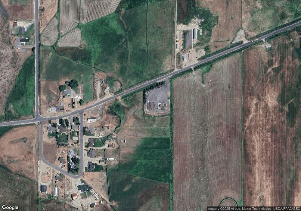
Map
Nearby Homes
- 1635 W 200 S
- 291 S Democrat Alley
- 1677 W Lambert Ln
- 3062 Clover Ct
- 3068 Clover Ct
- 3044 Clover Ct
- 1465 S 1000 W
- 1333 Sage Way
- 1333 Sage Way Unit 45
- 1373 Sage Way Unit 47
- 1373 Sage Way
- 1435 Sage Way
- 1635 S 200 W
- 875 Oak Ln
- 1535 Birch Way
- 755 Oak Ln
- 263 W 360 N
- 858 Crabapple Ct
- 818 W Summit Haven Cir
- 605 Aspen Rd
- 1535 W 200 S
- 220 S Spring Meadow Dr
- 1660 W 200 S
- 1635 W 200 S Unit 2
- 230 S Spring Meadow Dr Unit 4
- 230 S Spring Meadow Dr Unit 4
- 230 S Spring Meadow Dr
- 230 S Spring Meadow Dr
- 1700 W 200 S
- 250 S Spring Meadow Dr
- 250 S Spring Meadow Dr
- 220 S Spring Meadows Way
- 230 S Spring Meadows Way
- 270 S Spring Meadows Way
- 1675 W 200 S
- 270 S Spring Meadow Dr
- 270 S Spring Meadow Dr Unit 6
- 1720 W 200 S
- 336 Red Pine Canyon Rd Unit SH-336
- 1705 W 200 S