15351 Peoria Flat Rd Jamestown, CA 95327
Estimated Value: $528,000 - $939,705
3
Beds
2
Baths
2,054
Sq Ft
$327/Sq Ft
Est. Value
About This Home
This home is located at 15351 Peoria Flat Rd, Jamestown, CA 95327 and is currently estimated at $672,568, approximately $327 per square foot. 15351 Peoria Flat Rd is a home with nearby schools including Theodore Bird High School, Dario Cassina High School, and Sonora High School.
Ownership History
Date
Name
Owned For
Owner Type
Purchase Details
Closed on
Jul 15, 2004
Sold by
Nac 1031 Exchange Services
Bought by
Coleman George B and Coleman Lynette M
Current Estimated Value
Purchase Details
Closed on
Mar 9, 2004
Sold by
Davey Richard H and Davey Patricia D
Bought by
Nac 1031 Exchange Services
Home Financials for this Owner
Home Financials are based on the most recent Mortgage that was taken out on this home.
Original Mortgage
$110,000
Interest Rate
5.69%
Mortgage Type
Seller Take Back
Create a Home Valuation Report for This Property
The Home Valuation Report is an in-depth analysis detailing your home's value as well as a comparison with similar homes in the area
Home Values in the Area
Average Home Value in this Area
Purchase History
| Date | Buyer | Sale Price | Title Company |
|---|---|---|---|
| Coleman George B | -- | Yosemite Title Co | |
| Nac 1031 Exchange Services | $210,000 | Yosemite Title Co |
Source: Public Records
Mortgage History
| Date | Status | Borrower | Loan Amount |
|---|---|---|---|
| Previous Owner | Nac 1031 Exchange Services | $110,000 | |
| Closed | Nac 1031 Exchange Services | $169,870 |
Source: Public Records
Tax History Compared to Growth
Tax History
| Year | Tax Paid | Tax Assessment Tax Assessment Total Assessment is a certain percentage of the fair market value that is determined by local assessors to be the total taxable value of land and additions on the property. | Land | Improvement |
|---|---|---|---|---|
| 2025 | $5,791 | $571,023 | $298,568 | $272,455 |
| 2024 | $5,791 | $559,827 | $292,714 | $267,113 |
| 2023 | $5,664 | $548,851 | $286,975 | $261,876 |
| 2022 | $5,551 | $538,091 | $281,349 | $256,742 |
| 2021 | $5,441 | $527,541 | $275,833 | $251,708 |
| 2020 | $5,378 | $522,133 | $273,005 | $249,128 |
| 2019 | $5,273 | $511,896 | $267,652 | $244,244 |
| 2018 | $5,198 | $501,859 | $262,404 | $239,455 |
| 2017 | $5,052 | $492,019 | $257,259 | $234,760 |
| 2016 | $4,965 | $482,372 | $252,215 | $230,157 |
| 2015 | $4,901 | $475,127 | $248,427 | $226,700 |
| 2014 | $4,784 | $465,821 | $243,561 | $222,260 |
Source: Public Records
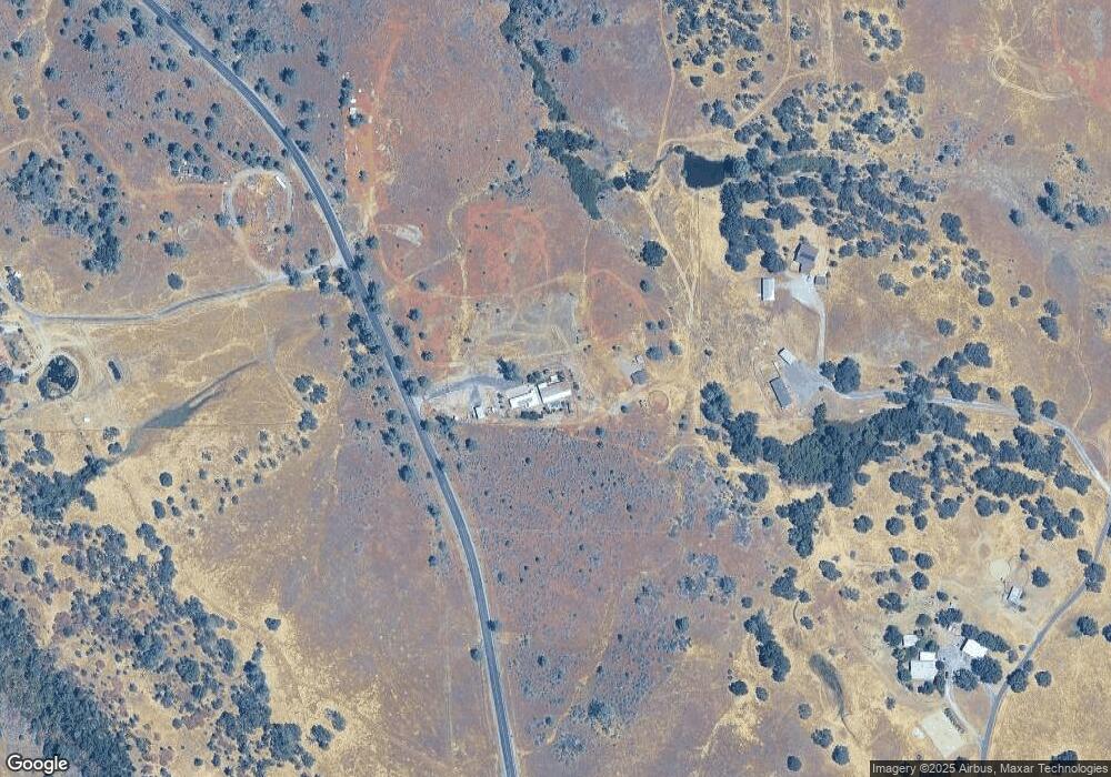
Map
Nearby Homes
- 15653 California 108
- 14594 Perricone Rd
- 17045 Table Mountain Rd
- 17912 Shell Rd
- 8400 Old Melones Dam Rd
- 8400 Old Melones Dam Rd Unit 42
- 8400 Old Melones Rd Unit 61
- 8400 Old Melones Dam Rd Spc 67
- 17192 Jeanese Dr
- 17500 Harvard Mine Rd
- 1012 Poker Flat Rd
- 854 Poker Flat Rd
- 14988 Lakefront Dr
- 785 Poker Flat Rd
- 0 Egan Rd
- 771 Mother Shipton Unit 785
- 9000 Six Bit Ranch Rd
- 584 Poker Flat Rd
- 572 Poker Flat Rd