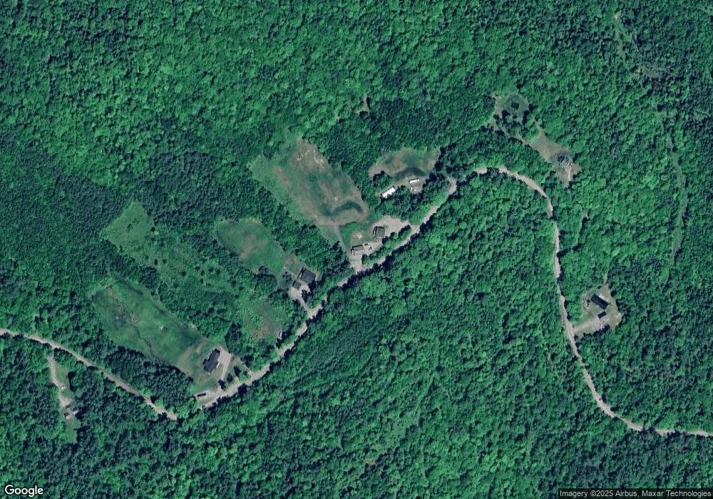
1536 Broomstick Hill Rd Littleton, NH 03561
Estimated Value: $389,227 - $524,000
2
Beds
2
Baths
960
Sq Ft
$453/Sq Ft
Est. Value
About This Home
This home is located at 1536 Broomstick Hill Rd, Littleton, NH 03561 and is currently estimated at $434,742, approximately $452 per square foot. 1536 Broomstick Hill Rd is a home located in Grafton County with nearby schools including Mildred C. Lakeway School.
Ownership History
Date
Name
Owned For
Owner Type
Purchase Details
Closed on
May 10, 2000
Sold by
James W Powers Inc
Bought by
Latulip William J and Latulip Sherri A
Current Estimated Value
Home Financials for this Owner
Home Financials are based on the most recent Mortgage that was taken out on this home.
Original Mortgage
$31,410
Outstanding Balance
$10,906
Interest Rate
8.21%
Estimated Equity
$423,836
Create a Home Valuation Report for This Property
The Home Valuation Report is an in-depth analysis detailing your home's value as well as a comparison with similar homes in the area
Home Values in the Area
Average Home Value in this Area
Purchase History
| Date | Buyer | Sale Price | Title Company |
|---|---|---|---|
| Latulip William J | $34,900 | -- |
Source: Public Records
Mortgage History
| Date | Status | Borrower | Loan Amount |
|---|---|---|---|
| Open | Latulip William J | $31,410 |
Source: Public Records
Tax History Compared to Growth
Tax History
| Year | Tax Paid | Tax Assessment Tax Assessment Total Assessment is a certain percentage of the fair market value that is determined by local assessors to be the total taxable value of land and additions on the property. | Land | Improvement |
|---|---|---|---|---|
| 2024 | $5,118 | $205,200 | $51,300 | $153,900 |
| 2023 | $4,625 | $205,200 | $51,300 | $153,900 |
| 2022 | $4,732 | $205,200 | $51,300 | $153,900 |
| 2021 | $4,732 | $205,200 | $51,300 | $153,900 |
| 2020 | $3,996 | $205,200 | $51,300 | $153,900 |
| 2019 | $3,741 | $182,200 | $46,700 | $135,500 |
| 2018 | $4,209 | $182,200 | $46,700 | $135,500 |
| 2017 | $5,234 | $202,700 | $69,600 | $133,100 |
| 2016 | $5,252 | $202,700 | $69,600 | $133,100 |
| 2015 | $4,317 | $185,100 | $49,600 | $135,500 |
| 2014 | $4,109 | $185,100 | $49,600 | $135,500 |
| 2013 | $4,157 | $185,100 | $49,600 | $135,500 |
Source: Public Records
Map
Nearby Homes
- 000 N Littleton Rd Unit 42
- 0 Sugar Wood Ln Unit 8
- 456 Brickyard Rd
- 45 Point of View Dr
- 295 Old Waterford Rd
- 0 Old Waterford Rd Unit 28 5059515
- 0 Old Waterford Rd Unit 25534600
- 40 W Main St
- 921 Old Waterford Rd
- 60-70 Meadow St
- 93 Pleasant St
- 194 Main St
- 11 Richmond St
- 33 Pleasant St
- 166 Riverside Dr
- 14 Hilltop Manor Mobile Home Park
- 000 Dells Rd Unit 1
- 34 Union St
- 180 Beacon St
- 114 Highland Ave
- 1536 Broomstick Hill Rd
- 1536 Broomstick Hill Rd Unit 2nd Floor Apt
- 1536 Broomstick Hill Rd Unit first floor cabin
- 1536 Broomstick Hill Rd Unit Second Floor Apartme
- 1536 Broomstick Hill Rd Unit 1st floor log cabin
- 1562 Broomstick Hill Rd
- 0 Broomstick Hill Rd Unit 4645697
- 0 Broomstick Hill Rd Unit 2793778
- 0 Broomstick Hill Rd Unit 4793244
- 0 Broomstick Hill Rd Unit 4236381
- 0 Broomstick Hill Rd Unit 4645680
- Map15 Lot6 Broomstick Hill Rd
- 00 Broomstick Hill Rd
- 00 Broomstick Hill Rd Unit 6
- 1454 Broomstick Hill Rd
- 1648 Broomstick Hill Rd
- 1404 Broomstick Hill Rd
- 1721 Broomstick Hill Rd
- Lot 13 Broomstick Hill Rd
- 0000 Broomstick Hill Rd
