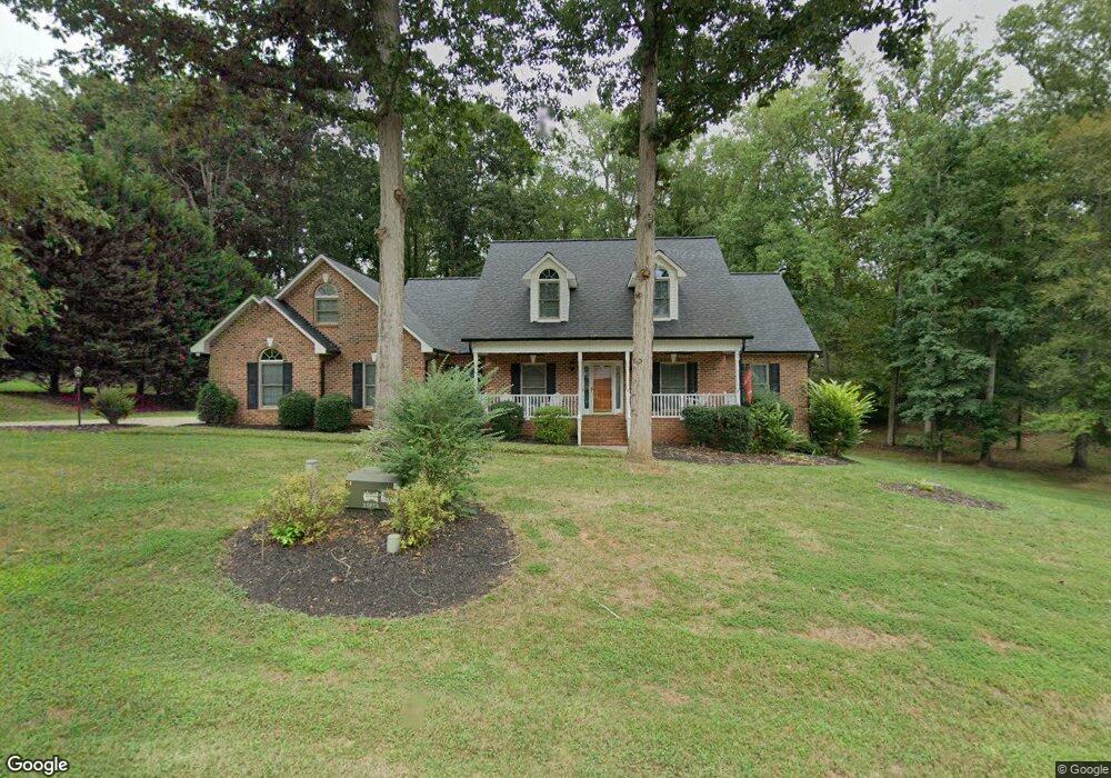
1536 Weatherwood Dr Lincolnton, NC 28092
Estimated Value: $533,000 - $794,000
4
Beds
3
Baths
2,985
Sq Ft
$214/Sq Ft
Est. Value
About This Home
This home is located at 1536 Weatherwood Dr, Lincolnton, NC 28092 and is currently estimated at $638,723, approximately $213 per square foot. 1536 Weatherwood Dr is a home located in Lincoln County with nearby schools including Pumpkin Center Primary, Pumpkin Center Intermediate, and North Lincoln Middle School.
Ownership History
Date
Name
Owned For
Owner Type
Purchase Details
Closed on
Sep 30, 2009
Sold by
Stevens Tammy
Bought by
Stevens Mark A
Current Estimated Value
Purchase Details
Closed on
Jan 31, 2007
Sold by
Ellls Jason Glenn and Ellis Jennifer M
Bought by
Stevens Mark A and Stevens Tammy
Home Financials for this Owner
Home Financials are based on the most recent Mortgage that was taken out on this home.
Original Mortgage
$273,600
Outstanding Balance
$170,246
Interest Rate
6.87%
Mortgage Type
Assumption
Estimated Equity
$468,477
Purchase Details
Closed on
Oct 19, 1999
Bought by
Ellis Jason Gelnn and Ellis Jennifer M
Create a Home Valuation Report for This Property
The Home Valuation Report is an in-depth analysis detailing your home's value as well as a comparison with similar homes in the area
Home Values in the Area
Average Home Value in this Area
Purchase History
| Date | Buyer | Sale Price | Title Company |
|---|---|---|---|
| Stevens Mark A | -- | None Available | |
| Stevens Mark A | $342,000 | None Available | |
| Ellis Jason Gelnn | $30,000 | -- |
Source: Public Records
Mortgage History
| Date | Status | Borrower | Loan Amount |
|---|---|---|---|
| Open | Stevens Mark A | $273,600 |
Source: Public Records
Tax History Compared to Growth
Tax History
| Year | Tax Paid | Tax Assessment Tax Assessment Total Assessment is a certain percentage of the fair market value that is determined by local assessors to be the total taxable value of land and additions on the property. | Land | Improvement |
|---|---|---|---|---|
| 2025 | $3,401 | $522,662 | $34,161 | $488,501 |
| 2024 | $3,381 | $522,662 | $34,161 | $488,501 |
| 2023 | $3,376 | $522,662 | $34,161 | $488,501 |
| 2022 | $2,613 | $335,818 | $27,485 | $308,333 |
| 2021 | $2,613 | $335,818 | $27,485 | $308,333 |
| 2020 | $2,431 | $335,818 | $27,485 | $308,333 |
| 2019 | $2,364 | $335,818 | $27,485 | $308,333 |
| 2018 | $2,083 | $276,755 | $25,514 | $251,241 |
| 2017 | $1,967 | $276,755 | $25,514 | $251,241 |
| 2016 | $1,967 | $276,755 | $25,514 | $251,241 |
| 2015 | $2,014 | $276,755 | $25,514 | $251,241 |
| 2014 | $2,025 | $281,348 | $25,514 | $255,834 |
Source: Public Records
Map
Nearby Homes
- 1448 Weatherwood Dr
- 2914 Weatherfield Dr
- 2911 Weatherfield Dr
- 4465 Brancer Ln
- 1471 Arden Dr
- 1335 Huckleberry Dr
- 2206 Carpenter Farms Dr
- 2202 Carpenter Farms Dr
- 370 Sherrill Farm Rd
- 000 Curveview Rd
- 2515 Myra Ln
- 2384 Abby Ave
- 1076 Furnace Rd
- 341 Camp Creek Rd
- 741 Sunridge Dr
- 2546 N Carolina Highway 150
- 2984 N Carolina 27
- 1681 Woolie Rd
- 3164 Andrew Link Rd
- 1711 Furnace Road Extension
- 1544 Weatherwood Dr
- 1520 Weatherwood Dr
- lot 22 Weatherwood Dr
- lot 22 Weatherwood Dr Unit 22
- 1554 Weatherwood Dr
- 1541 Weatherwood Dr
- 1508 Weatherwood Dr
- 1555 Weatherwood Dr
- 1511 Weatherwood Dr
- 1570 Weatherwood Dr
- 1677 Old Mill Rd
- 1667 Old Mill Rd
- 1687 Old Mill Rd
- 1500 Weatherwood Dr
- 1697 Old Mill Rd
- 1633 Old Mill Rd
- 1707 Old Mill Rd
- 1571 Weatherwood Dr Unit 12
- 1571 Weatherwood Dr
- 1489 Weatherwood Dr