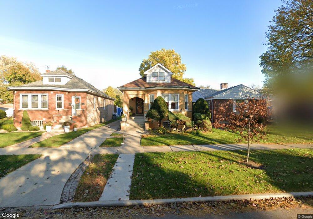
1537 Norfolk Ave Westchester, IL 60154
Estimated Value: $337,000 - $361,000
3
Beds
2
Baths
1,335
Sq Ft
$258/Sq Ft
Est. Value
About This Home
This home is located at 1537 Norfolk Ave, Westchester, IL 60154 and is currently estimated at $344,793, approximately $258 per square foot. 1537 Norfolk Ave is a home located in Cook County with nearby schools including Westchester Primary School, Westchester Intermediate School, and Westchester Middle School.
Ownership History
Date
Name
Owned For
Owner Type
Purchase Details
Closed on
May 14, 2021
Sold by
Hennessy Kathleen
Bought by
Hennessy Kathleen E and Kathleen E Hennessy Living Tru
Current Estimated Value
Purchase Details
Closed on
Feb 28, 2011
Sold by
Hennessy Kathleen
Bought by
Hennessy Kathleen
Create a Home Valuation Report for This Property
The Home Valuation Report is an in-depth analysis detailing your home's value as well as a comparison with similar homes in the area
Home Values in the Area
Average Home Value in this Area
Purchase History
| Date | Buyer | Sale Price | Title Company |
|---|---|---|---|
| Hennessy Kathleen E | -- | Attorney | |
| Hennessy Kathleen | -- | None Available |
Source: Public Records
Tax History Compared to Growth
Tax History
| Year | Tax Paid | Tax Assessment Tax Assessment Total Assessment is a certain percentage of the fair market value that is determined by local assessors to be the total taxable value of land and additions on the property. | Land | Improvement |
|---|---|---|---|---|
| 2024 | $4,769 | $24,137 | $3,752 | $20,385 |
| 2023 | $3,958 | $24,137 | $3,752 | $20,385 |
| 2022 | $3,958 | $19,129 | $3,216 | $15,913 |
| 2021 | $3,879 | $19,129 | $3,216 | $15,913 |
| 2020 | $4,124 | $19,878 | $3,216 | $16,662 |
| 2019 | $4,237 | $21,170 | $2,948 | $18,222 |
| 2018 | $4,178 | $21,170 | $2,948 | $18,222 |
| 2017 | $4,128 | $21,170 | $2,948 | $18,222 |
| 2016 | $3,544 | $16,431 | $2,680 | $13,751 |
| 2015 | $3,436 | $16,431 | $2,680 | $13,751 |
| 2014 | $3,758 | $17,766 | $2,680 | $15,086 |
| 2013 | $5,126 | $20,390 | $2,680 | $17,710 |
Source: Public Records
Map
Nearby Homes
- 1500 Bristol Ave
- 1623 Manchester Ave
- 1601 Bristol Ave
- 1433 Bristol Ave
- 1840 Gardner Rd
- 1900 Manchester Ave
- 1907 Suffolk Ave
- 10072 Drury Ln
- 1932 Newcastle Ave
- 1119 Newcastle Ave
- 2128 Hull Ave
- 1245 S Mannheim Rd Unit 2
- 1247 S Mannheim Rd Unit 3
- 1016 Hull Ave
- 920 Suffolk Ave
- 923 Manchester Ave
- 2320 S 22nd Ave
- 814 Norfolk Ave
- 805 Norfolk Ave
- 10524 Camelot St
- 1541 Norfolk Ave
- 1533 Norfolk Ave
- 1545 Norfolk Ave
- 1525 Norfolk Ave
- 1536 Manchester Ave
- 1540 Manchester Ave
- 1553 Norfolk Ave
- 1532 Manchester Ave
- 1523 Norfolk Ave
- 1546 Manchester Ave
- 1526 Manchester Ave
- 1557 Norfolk Ave
- 1532 Norfolk Ave
- 1552 Manchester Ave
- 1513 Norfolk Ave
- 1522 Manchester Ave
- 1528 Norfolk Ave
- 1544 Norfolk Ave
- 1524 Norfolk Ave
- 1558 Manchester Ave