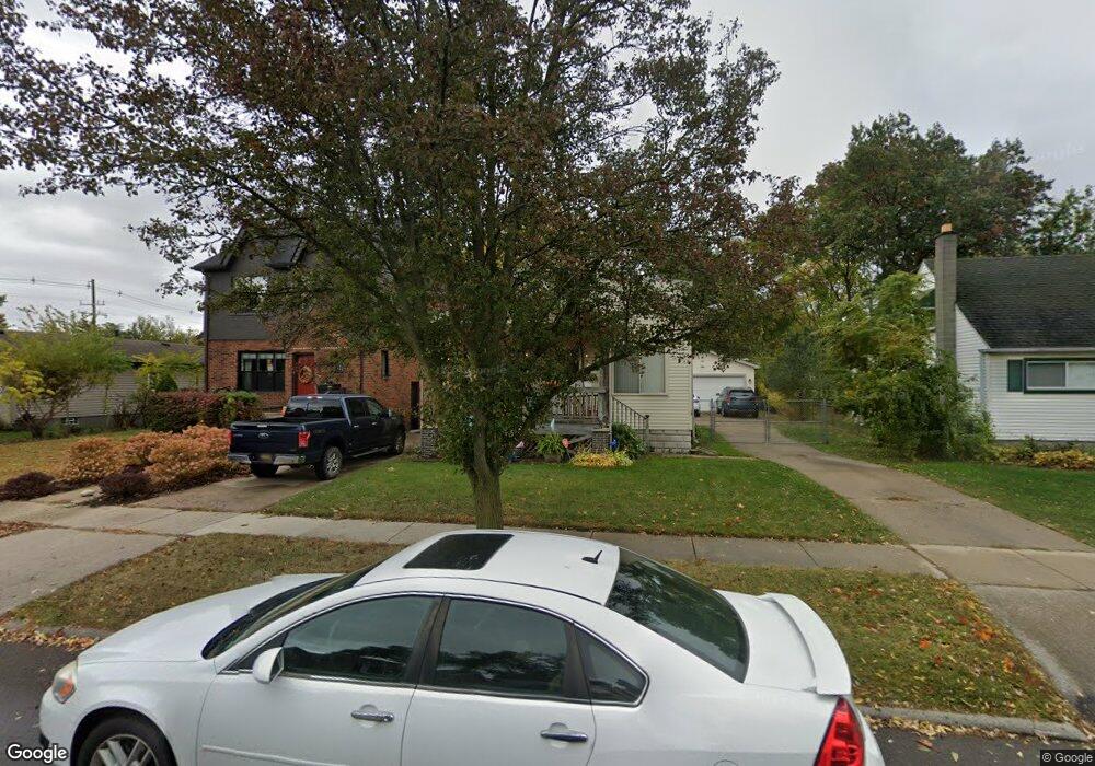
1537 Pearson St Ferndale, MI 48220
Estimated Value: $226,469 - $290,000
2
Beds
1
Bath
846
Sq Ft
$293/Sq Ft
Est. Value
About This Home
This home is located at 1537 Pearson St, Ferndale, MI 48220 and is currently estimated at $247,617, approximately $292 per square foot. 1537 Pearson St is a home located in Oakland County with nearby schools including Ferndale Upper Elementary Campus, Ferndale Lower Elementary Campus, and Ferndale Middle School.
Ownership History
Date
Name
Owned For
Owner Type
Purchase Details
Closed on
Jul 24, 2020
Sold by
Smith Jeanne K
Bought by
Blasciuc Jeanne and Smith Jeanne K
Current Estimated Value
Home Financials for this Owner
Home Financials are based on the most recent Mortgage that was taken out on this home.
Original Mortgage
$144,000
Interest Rate
3%
Mortgage Type
New Conventional
Purchase Details
Closed on
Jan 5, 2016
Sold by
Blasciuc Christopher
Bought by
Blasciuc Jeanne
Create a Home Valuation Report for This Property
The Home Valuation Report is an in-depth analysis detailing your home's value as well as a comparison with similar homes in the area
Home Values in the Area
Average Home Value in this Area
Purchase History
| Date | Buyer | Sale Price | Title Company |
|---|---|---|---|
| Blasciuc Jeanne | -- | Bbc Title Agency Llc | |
| Blasciuc Jeanne | -- | None Available |
Source: Public Records
Mortgage History
| Date | Status | Borrower | Loan Amount |
|---|---|---|---|
| Closed | Blasciuc Jeanne | $144,000 |
Source: Public Records
Tax History
| Year | Tax Paid | Tax Assessment Tax Assessment Total Assessment is a certain percentage of the fair market value that is determined by local assessors to be the total taxable value of land and additions on the property. | Land | Improvement |
|---|---|---|---|---|
| 2025 | $2,803 | $115,510 | $0 | $0 |
| 2024 | $2,711 | $102,440 | $0 | $0 |
| 2023 | $2,784 | $91,210 | $0 | $0 |
| 2022 | $2,233 | $82,100 | $0 | $0 |
| 2021 | $2,246 | $75,850 | $0 | $0 |
| 2020 | $2,132 | $71,800 | $0 | $0 |
| 2019 | $2,165 | $67,300 | $0 | $0 |
| 2018 | $2,214 | $55,760 | $0 | $0 |
| 2017 | $2,145 | $54,150 | $0 | $0 |
| 2016 | $2,115 | $44,220 | $0 | $0 |
| 2015 | -- | $38,580 | $0 | $0 |
| 2014 | -- | $34,420 | $0 | $0 |
| 2011 | -- | $42,830 | $0 | $0 |
Source: Public Records
Map
Nearby Homes
- 1597 W Saratoga St
- 21433 Bethlawn Blvd
- 1636 W Troy St
- 21392 Bethlawn Blvd
- 8530 Saratoga St
- 8104 Cloverdale Ave
- 1060 W Hazelhurst St
- 21395 Westview Ave
- 1015 W Marshall St
- 21356 Westview Ave
- 21341 Reimanville Ave
- 8610 Saratoga St
- 832 Pinecrest Dr
- 1915 Central St
- 21078 Mitchelldale Ave
- 23041 Roanoke Ave
- 23230 Sherman St
- 21415 Woodside Ave
- 504 Pearson St
- 23241 Republic Ave
- 1547 Pearson St
- 1527 Pearson St
- 1517 Pearson St
- 1557 Pearson St
- 1567 Pearson St
- 1538 W Hazelhurst St
- 1528 W Hazelhurst St
- 1548 W Hazelhurst St
- 1558 W Hazelhurst St Unit Bldg-Unit
- 1558 W Hazelhurst St
- 1518 W Hazelhurst St
- 1507 Pearson St
- 1568 W Hazelhurst St
- 1546 Pearson St
- 1538 Pearson St
- 1526 Pearson St
- 1508 W Hazelhurst St
- 1575 Pearson St
- 1556 Pearson St
- 1578 W Hazelhurst St
Your Personal Tour Guide
Ask me questions while you tour the home.