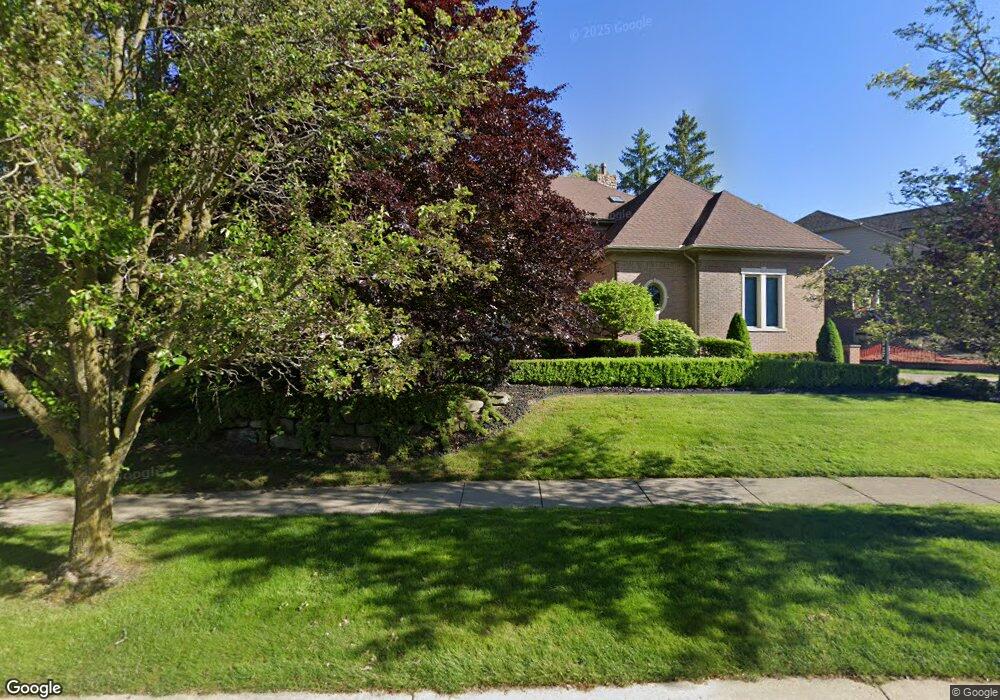
1537 Pondside Ct Rochester, MI 48307
Estimated Value: $1,072,263 - $1,639,000
4
Beds
5
Baths
4,962
Sq Ft
$252/Sq Ft
Est. Value
About This Home
This home is located at 1537 Pondside Ct, Rochester, MI 48307 and is currently estimated at $1,249,566, approximately $251 per square foot. 1537 Pondside Ct is a home located in Oakland County with nearby schools including Hart Middle School, North Hill Elementary School, and Stoney Creek High School.
Ownership History
Date
Name
Owned For
Owner Type
Purchase Details
Closed on
Aug 12, 1998
Sold by
Mjc Builders Of Troy Inc
Bought by
Craig Curtis P
Current Estimated Value
Home Financials for this Owner
Home Financials are based on the most recent Mortgage that was taken out on this home.
Original Mortgage
$400,000
Interest Rate
7.03%
Purchase Details
Closed on
Aug 30, 1996
Sold by
Rochester Properties Dev
Bought by
Craig Curtis P
Create a Home Valuation Report for This Property
The Home Valuation Report is an in-depth analysis detailing your home's value as well as a comparison with similar homes in the area
Home Values in the Area
Average Home Value in this Area
Purchase History
| Date | Buyer | Sale Price | Title Company |
|---|---|---|---|
| Craig Curtis P | $645,000 | -- | |
| Craig Curtis P | -- | -- |
Source: Public Records
Mortgage History
| Date | Status | Borrower | Loan Amount |
|---|---|---|---|
| Previous Owner | Craig Curtis P | $400,000 |
Source: Public Records
Tax History Compared to Growth
Tax History
| Year | Tax Paid | Tax Assessment Tax Assessment Total Assessment is a certain percentage of the fair market value that is determined by local assessors to be the total taxable value of land and additions on the property. | Land | Improvement |
|---|---|---|---|---|
| 2024 | $13,215 | $476,460 | $0 | $0 |
| 2023 | $12,654 | $447,940 | $0 | $0 |
| 2022 | $13,461 | $422,460 | $0 | $0 |
| 2021 | $12,646 | $413,830 | $0 | $0 |
| 2020 | $11,873 | $393,860 | $0 | $0 |
| 2019 | $13,054 | $384,360 | $0 | $0 |
| 2018 | $13,100 | $377,200 | $0 | $0 |
| 2017 | $13,245 | $380,980 | $0 | $0 |
| 2016 | $11,986 | $432,620 | $0 | $0 |
| 2015 | -- | $410,580 | $0 | $0 |
| 2014 | -- | $389,910 | $0 | $0 |
| 2011 | -- | $324,140 | $0 | $0 |
Source: Public Records
Map
Nearby Homes
- 620 Appoline Ct
- 628 Springview Dr Unit 120
- 674 Springview Dr
- 1688 Deepwood Cir
- 1985 Monarch Dr Unit 7
- 1874 Flagstone Cir
- 1850 Flagstone Cir Unit 53
- 1322 Copper Cir Unit 26
- 1022 Pointe Place Blvd
- 2113 Marissa Way Unit 99
- 54673 Marissa Way Unit 93
- 2239 Regency Hills Dr
- 2282 Kingscross Dr
- 767 E Bluff Ct Unit 7
- 53266 Garland Dr
- 1983 Dunham Dr
- 2156 Willow Cir
- 1955 Clearwood Ct Unit 665
- 877 Quarry
- 2156 Austin Dr
- 1531 Pondside Ct
- 463 Springview Dr Unit Bldg-Unit
- 463 Springview Dr
- 469 Springview Dr
- 1525 Pondside Ct
- 475 Springview Dr
- 460 Springview Dr
- 1518 Pondside Ct
- 1519 Pondside Ct
- 466 Springview Dr
- 451 Springview Dr
- 454 Springview Dr
- 481 Springview Dr
- 1607 Springview Ct
- 1513 Pondside Ct
- 445 Springview Dr
- 487 Springview Dr
- 1508 Pondside Ct
- 1613 Springview Ct
- 439 Springview Dr