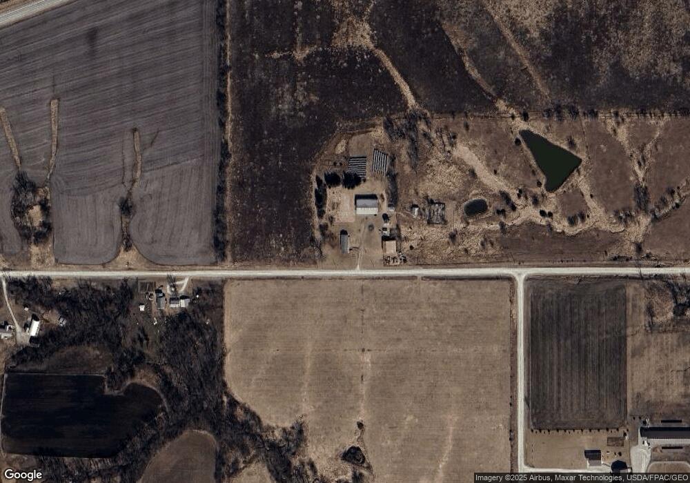
15376 230th St Bloomfield, IA 52537
Estimated Value: $230,000 - $443,110
3
Beds
2
Baths
1,404
Sq Ft
$230/Sq Ft
Est. Value
About This Home
This home is located at 15376 230th St, Bloomfield, IA 52537 and is currently estimated at $322,703, approximately $229 per square foot. 15376 230th St is a home located in Davis County with nearby schools including Davis County Elementary School, Davis County Middle School, and Davis County Community High School.
Ownership History
Date
Name
Owned For
Owner Type
Purchase Details
Closed on
Jun 26, 2025
Sold by
Jo Ella Cossel Revocable Trust and Cossel Vaughn
Bought by
Sandy Place Rentals Llc
Current Estimated Value
Purchase Details
Closed on
Oct 31, 2024
Sold by
Cossel Jo Ella
Bought by
Jo Ella Cossel Revocable Trust and Cossel
Create a Home Valuation Report for This Property
The Home Valuation Report is an in-depth analysis detailing your home's value as well as a comparison with similar homes in the area
Home Values in the Area
Average Home Value in this Area
Purchase History
| Date | Buyer | Sale Price | Title Company |
|---|---|---|---|
| Sandy Place Rentals Llc | $400,000 | None Listed On Document | |
| Midwest Land & Farming Llc | $900,000 | None Listed On Document | |
| Jo Ella Cossel Revocable Trust | -- | None Listed On Document | |
| Jo Ella Cossel Revocable Trust | -- | None Listed On Document |
Source: Public Records
Mortgage History
| Date | Status | Borrower | Loan Amount |
|---|---|---|---|
| Previous Owner | Lynch Alexander Evan | $300,150 |
Source: Public Records
Tax History Compared to Growth
Tax History
| Year | Tax Paid | Tax Assessment Tax Assessment Total Assessment is a certain percentage of the fair market value that is determined by local assessors to be the total taxable value of land and additions on the property. | Land | Improvement |
|---|---|---|---|---|
| 2025 | $3,340 | $253,790 | $52,320 | $201,470 |
| 2024 | $3,340 | $211,790 | $36,920 | $174,870 |
| 2023 | $3,848 | $211,790 | $36,920 | $174,870 |
| 2022 | $3,440 | $197,670 | $29,380 | $168,290 |
| 2021 | $3,440 | $175,940 | $29,380 | $146,560 |
| 2020 | $3,154 | $167,210 | $31,470 | $135,740 |
| 2019 | $3,264 | $167,210 | $31,470 | $135,740 |
| 2018 | $3,202 | $167,930 | $38,120 | $129,810 |
| 2017 | $3,202 | $167,930 | $38,120 | $129,810 |
| 2016 | $2,938 | $159,310 | $0 | $0 |
| 2015 | $2,938 | $167,040 | $0 | $0 |
| 2014 | $2,834 | $167,040 | $0 | $0 |
Source: Public Records
Map
Nearby Homes
- 14042 232nd St
- TBD Driftwood Blvd
- 12392 Iowa 2
- 152 Acres Hwy 63
- TBD Harvest Ave
- Tbd Harvest Ave
- 19743 212th St
- 27005 Fig Ave
- 211 W Main St
- 35 Doe Ave
- 35 A Doe Ave
- 293rd Street
- 906 W Chestnut St
- 601 W Chestnut St
- 603 W Walnut St
- 608 W Franklin St
- 152 A Iowa 2
- 408 W Chestnut St
- 502 S West St
- 404 Elm St