1538 170th St Corydon, IA 50060
Estimated Value: $359,000 - $514,000
2
Beds
1
Bath
1,183
Sq Ft
$391/Sq Ft
Est. Value
About This Home
This home is located at 1538 170th St, Corydon, IA 50060 and is currently estimated at $462,360, approximately $390 per square foot. 1538 170th St is a home located in Wayne County.
Ownership History
Date
Name
Owned For
Owner Type
Purchase Details
Closed on
Jun 27, 2025
Sold by
Morr Travis R and Morr Nicole L
Bought by
Kuiken Brent A and Kuiken Michelle L
Current Estimated Value
Purchase Details
Closed on
Sep 28, 2018
Sold by
Morr Rick
Bought by
Moor Travis R and Moor Nicole L
Home Financials for this Owner
Home Financials are based on the most recent Mortgage that was taken out on this home.
Original Mortgage
$171,000
Interest Rate
4.5%
Mortgage Type
New Conventional
Create a Home Valuation Report for This Property
The Home Valuation Report is an in-depth analysis detailing your home's value as well as a comparison with similar homes in the area
Home Values in the Area
Average Home Value in this Area
Purchase History
| Date | Buyer | Sale Price | Title Company |
|---|---|---|---|
| Kuiken Brent A | $496,000 | None Listed On Document | |
| Moor Travis R | $180,000 | -- |
Source: Public Records
Mortgage History
| Date | Status | Borrower | Loan Amount |
|---|---|---|---|
| Previous Owner | Moor Travis R | $171,000 |
Source: Public Records
Tax History Compared to Growth
Tax History
| Year | Tax Paid | Tax Assessment Tax Assessment Total Assessment is a certain percentage of the fair market value that is determined by local assessors to be the total taxable value of land and additions on the property. | Land | Improvement |
|---|---|---|---|---|
| 2024 | $1,848 | $141,170 | $21,450 | $119,720 |
| 2023 | $1,848 | $141,170 | $21,450 | $119,720 |
| 2022 | $1,886 | $121,650 | $16,230 | $105,420 |
| 2021 | $1,852 | $123,310 | $16,230 | $107,080 |
| 2020 | $1,852 | $113,110 | $17,270 | $95,840 |
| 2019 | $1,794 | $114,220 | $17,270 | $95,840 |
| 2018 | $1,794 | $114,220 | $0 | $0 |
| 2017 | $1,424 | $98,593 | $0 | $0 |
| 2016 | $274 | $19,898 | $0 | $0 |
| 2015 | $274 | $25,291 | $0 | $0 |
| 2014 | $354 | $25,291 | $0 | $0 |
Source: Public Records
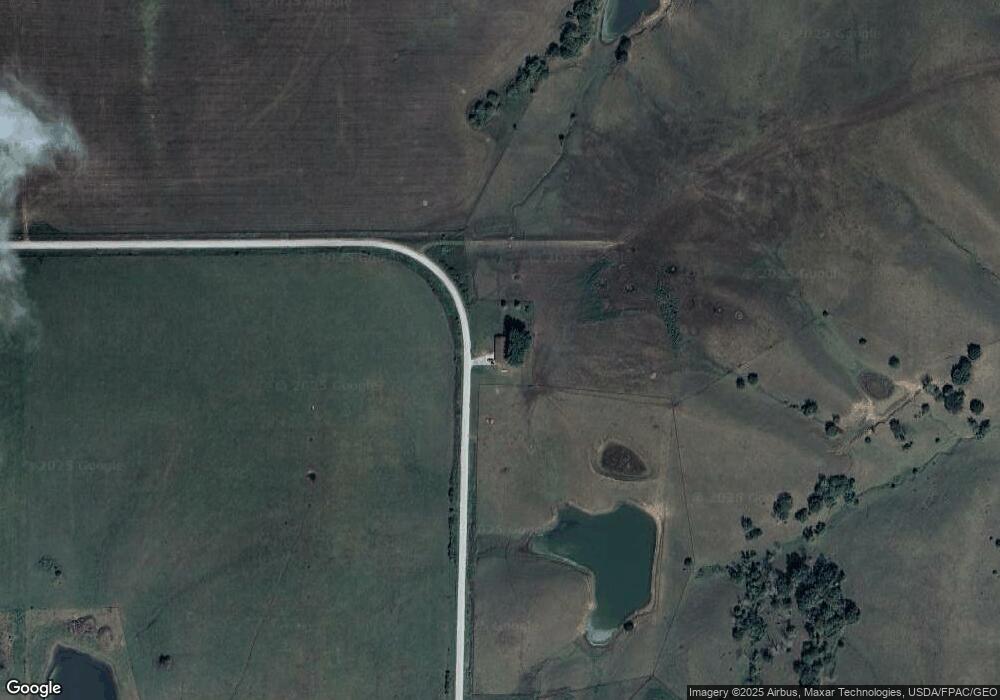
Map
Nearby Homes
- 1392 185th St
- 1349 Ia-14
- 2738 Liberty Rd
- 0 County Highway S56
- 2116 Highway J22
- 614 N Butler St
- 415 N Butler St
- 514 N Johnson St
- 513 E Anthony St
- 517 E Anthony St
- 519 E Anthony St
- 514 E Anthony St
- 516 E Anthony St
- 505 E Anthony St
- 511 E Anthony St
- 515 E Anthony St
- 509 E Anthony St
- 521 E Anthony St
- 512 E Anthony St
- 524 E Anthony St