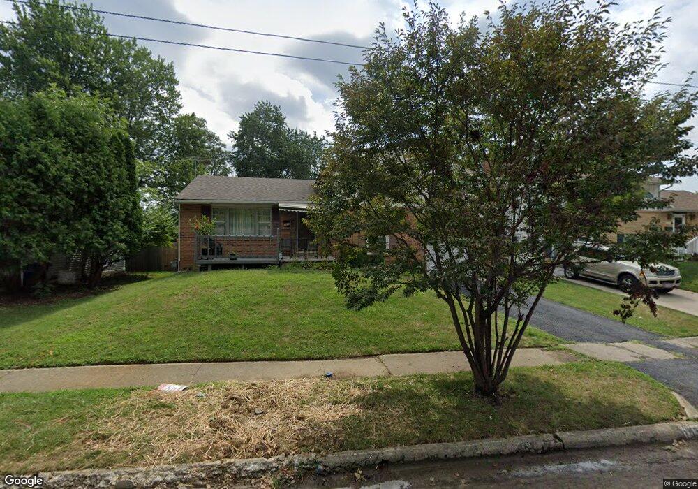
1538 Lillian Ln Columbus, OH 43227
Shady Lane NeighborhoodEstimated Value: $217,000 - $260,000
4
Beds
2
Baths
1,400
Sq Ft
$166/Sq Ft
Est. Value
About This Home
This home is located at 1538 Lillian Ln, Columbus, OH 43227 and is currently estimated at $232,688, approximately $166 per square foot. 1538 Lillian Ln is a home located in Franklin County with nearby schools including Shady Lane Elementary School, Sherwood Middle School, and Walnut Ridge High School.
Ownership History
Date
Name
Owned For
Owner Type
Purchase Details
Closed on
Apr 2, 2004
Sold by
Miller Becky J and Rinehart Becky J
Bought by
Herera Robin E
Current Estimated Value
Home Financials for this Owner
Home Financials are based on the most recent Mortgage that was taken out on this home.
Original Mortgage
$95,993
Outstanding Balance
$45,173
Interest Rate
5.66%
Mortgage Type
FHA
Estimated Equity
$187,515
Purchase Details
Closed on
May 9, 1990
Create a Home Valuation Report for This Property
The Home Valuation Report is an in-depth analysis detailing your home's value as well as a comparison with similar homes in the area
Home Values in the Area
Average Home Value in this Area
Purchase History
| Date | Buyer | Sale Price | Title Company |
|---|---|---|---|
| Herera Robin E | $97,500 | -- | |
| -- | $58,000 | -- |
Source: Public Records
Mortgage History
| Date | Status | Borrower | Loan Amount |
|---|---|---|---|
| Open | Herera Robin E | $95,993 |
Source: Public Records
Tax History Compared to Growth
Tax History
| Year | Tax Paid | Tax Assessment Tax Assessment Total Assessment is a certain percentage of the fair market value that is determined by local assessors to be the total taxable value of land and additions on the property. | Land | Improvement |
|---|---|---|---|---|
| 2024 | $3,003 | $66,920 | $17,780 | $49,140 |
| 2023 | $2,965 | $66,920 | $17,780 | $49,140 |
| 2022 | $1,759 | $33,920 | $6,830 | $27,090 |
| 2021 | $1,762 | $33,920 | $6,830 | $27,090 |
| 2020 | $1,765 | $33,920 | $6,830 | $27,090 |
| 2019 | $1,629 | $26,850 | $5,460 | $21,390 |
| 2018 | $1,559 | $26,850 | $5,460 | $21,390 |
| 2017 | $1,628 | $26,850 | $5,460 | $21,390 |
| 2016 | $1,644 | $24,820 | $5,880 | $18,940 |
| 2015 | $1,493 | $24,820 | $5,880 | $18,940 |
| 2014 | $1,496 | $24,820 | $5,880 | $18,940 |
| 2013 | $868 | $29,190 | $6,930 | $22,260 |
Source: Public Records
Map
Nearby Homes
- 1486 Efner Dr
- 1320 Nancy Ln
- 1678 Huxley Dr
- 5036 Brinwood Place
- 4677 E Livingston Ave
- 4701 Janis Dr
- 1787 Lattimer Dr
- 1607 Shady Lane Rd
- 1624 Coppertree Ln
- 1616 Coppertree Rd Unit 1615
- 1607 Simpson Dr
- 4571 Aragon Ave
- 1691 Shady Lane Rd
- 5366 Yorkshire Village Ln Unit B-22
- 1563 Genoa Place
- 4991 Justin Rd
- 5194 Orlando Ct
- 4589 Belfast Dr
- 1571 Baxter Dr
- 1130 Little Plum Ln
- 1546 Lillian Ln
- 1532 Lillian Ln
- 1554 Lillian Ln
- 1524 Lillian Ln
- 1531 Lillian Ln
- 1564 Lillian Ln
- 1518 Lillian Ln
- 1547 Lillian Ln
- 1523 Lillian Ln
- 1515 Lillian Ln
- 1512 Lillian Ln
- 1559 Lillian Ln
- 4920 Dickens Dr
- 4911 Dickens Dr
- 1507 Lillian Ln
- 1500 Efner Dr
- 4906 E Livingston Ave
- 4912 Dickens Dr
- 1498 Efner Dr
- 4903 Dickens Dr