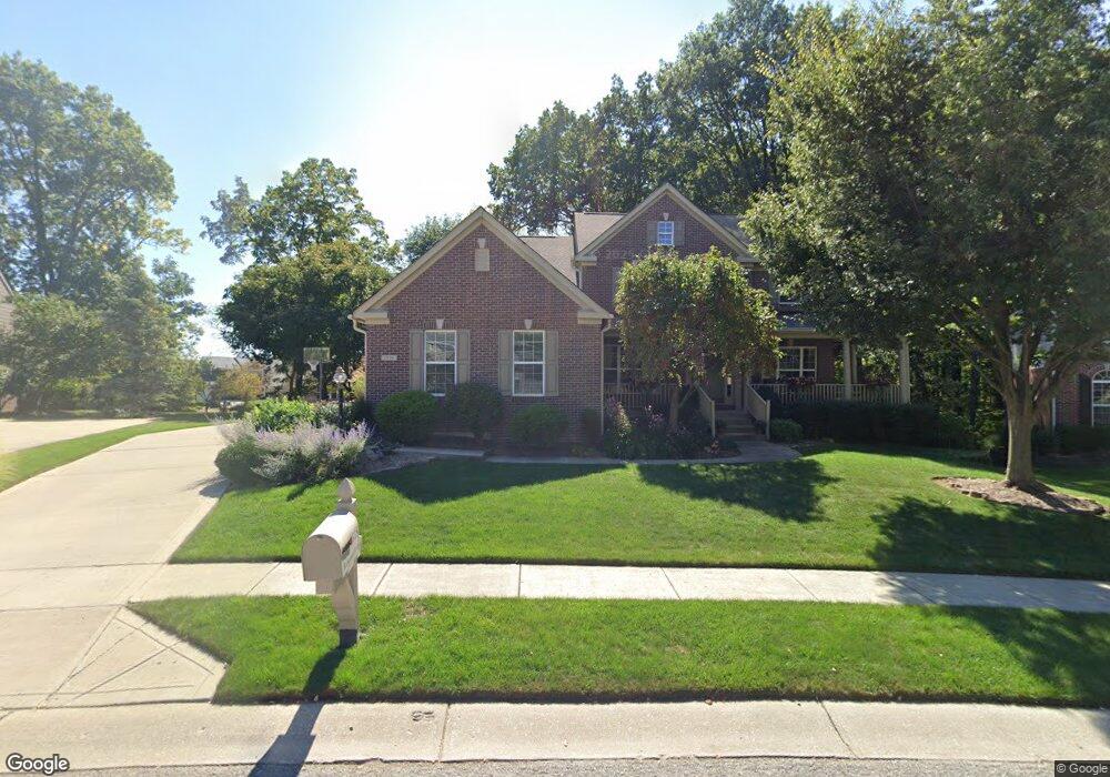
1538 Redsunset Dr Brownsburg, IN 46112
Estimated Value: $518,227 - $582,000
4
Beds
3
Baths
3,700
Sq Ft
$147/Sq Ft
Est. Value
About This Home
This home is located at 1538 Redsunset Dr, Brownsburg, IN 46112 and is currently estimated at $543,057, approximately $146 per square foot. 1538 Redsunset Dr is a home located in Hendricks County with nearby schools including Eagle Elementary School, Brownsburg West Middle School, and Brownsburg High School.
Ownership History
Date
Name
Owned For
Owner Type
Purchase Details
Closed on
Nov 9, 2004
Sold by
Drees Premier Homes Inc
Bought by
Oppy Michael T and Oppy Beth A
Current Estimated Value
Home Financials for this Owner
Home Financials are based on the most recent Mortgage that was taken out on this home.
Original Mortgage
$266,000
Interest Rate
3.5%
Mortgage Type
Adjustable Rate Mortgage/ARM
Create a Home Valuation Report for This Property
The Home Valuation Report is an in-depth analysis detailing your home's value as well as a comparison with similar homes in the area
Home Values in the Area
Average Home Value in this Area
Purchase History
| Date | Buyer | Sale Price | Title Company |
|---|---|---|---|
| Oppy Michael T | -- | None Available |
Source: Public Records
Mortgage History
| Date | Status | Borrower | Loan Amount |
|---|---|---|---|
| Previous Owner | Oppy Michael T | $266,000 |
Source: Public Records
Tax History Compared to Growth
Tax History
| Year | Tax Paid | Tax Assessment Tax Assessment Total Assessment is a certain percentage of the fair market value that is determined by local assessors to be the total taxable value of land and additions on the property. | Land | Improvement |
|---|---|---|---|---|
| 2024 | $4,821 | $477,100 | $73,200 | $403,900 |
| 2023 | $4,431 | $438,100 | $66,500 | $371,600 |
| 2022 | $4,100 | $405,000 | $62,000 | $343,000 |
| 2021 | $3,607 | $355,700 | $62,000 | $293,700 |
| 2020 | $3,397 | $339,700 | $62,000 | $277,700 |
| 2019 | $3,365 | $336,500 | $60,500 | $276,000 |
| 2018 | $3,422 | $337,200 | $60,500 | $276,700 |
| 2017 | $3,363 | $336,300 | $60,500 | $275,800 |
| 2016 | $3,295 | $326,700 | $60,500 | $266,200 |
| 2014 | $3,133 | $313,300 | $57,000 | $256,300 |
Source: Public Records
Map
Nearby Homes
- 1597 Redsunset Dr
- 6185 E US Highway 136
- 5756 Foxfire Ln
- 6461 Warren Ln
- 751 Fish Hawk Ct
- Glacier II Plan at Auburn Ridge - Legacy Series
- Ainsley II Plan at Auburn Ridge - Prestige Series
- Berkeley Basement Plan at Auburn Ridge - Prestige Series
- Kentmore Basement Plan at Auburn Ridge - Prestige Series
- Ainsley II Basement Plan at Auburn Ridge - Prestige Series
- Glendale Basement Plan at Auburn Ridge - Prestige Series
- Columbia Basement Plan at Auburn Ridge - Prestige Series
- Andes II Plan at Auburn Ridge - Legacy Series
- Cheswicke II Plan at Auburn Ridge - Prestige Series
- Drake Plan at Auburn Ridge - Prestige Series
- Olympic II Plan at Auburn Ridge - Legacy Series
- Cascade II Plan at Auburn Ridge - Legacy Series
- Drake Basement Plan at Auburn Ridge - Prestige Series
- Glendale Plan at Auburn Ridge - Prestige Series
- Kensington Plan at Auburn Ridge - Prestige Series
- 1534 Redsunset Dr
- 1542 Redsunset Dr
- 437 Letterman Dr
- 1531 Redsunset Dr
- 435 Letterman Dr
- 1530 Redsunset Dr
- 1535 Redsunset Dr
- 433 Letterman Dr
- 1527 Redsunset Dr
- 1526 Redsunset Dr
- 439 Letterman Dr
- 1542 Arborwoods Dr
- 431 Letterman Dr
- 1523 Redsunset Dr
- 1550 Redsunset Dr
- 1538 Arborwoods Dr
- 1539 Redsunset Dr
- 441 Letterman Dr
- 438 Letterman Dr
- 434 Letterman Dr