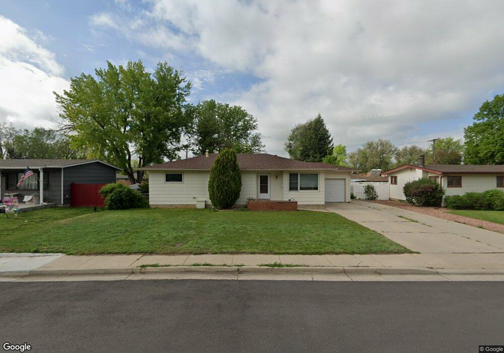
1538 W 16th St Loveland, CO 80538
Estimated Value: $399,620 - $434,000
3
Beds
2
Baths
1,126
Sq Ft
$365/Sq Ft
Est. Value
About This Home
This home is located at 1538 W 16th St, Loveland, CO 80538 and is currently estimated at $411,405, approximately $365 per square foot. 1538 W 16th St is a home located in Larimer County with nearby schools including Van Buren Elementary School, Bill Reed Middle School, and Loveland High School.
Ownership History
Date
Name
Owned For
Owner Type
Purchase Details
Closed on
Jun 2, 2008
Sold by
Sheppard Gloria A and Markham Elizabeth
Bought by
Sheppard Gloria A
Current Estimated Value
Purchase Details
Closed on
Dec 7, 2007
Sold by
Markham Elizabeth
Bought by
Sheppard Gloria A and Markham Elizabeth
Purchase Details
Closed on
May 31, 2000
Sold by
Klein Eric and Klein Toni
Bought by
Fabrizius Arvilla and Markham Elizabeth
Purchase Details
Closed on
Aug 31, 1999
Sold by
Hill Kevin
Bought by
Klein Eric and Klein Toni
Home Financials for this Owner
Home Financials are based on the most recent Mortgage that was taken out on this home.
Original Mortgage
$112,500
Interest Rate
6.5%
Purchase Details
Closed on
Mar 1, 1995
Sold by
Perez Christine K
Bought by
Hill Kevin
Purchase Details
Closed on
Dec 1, 1992
Sold by
Terrell Laura P
Bought by
Perez Christine K
Create a Home Valuation Report for This Property
The Home Valuation Report is an in-depth analysis detailing your home's value as well as a comparison with similar homes in the area
Home Values in the Area
Average Home Value in this Area
Purchase History
| Date | Buyer | Sale Price | Title Company |
|---|---|---|---|
| Sheppard Gloria A | -- | None Available | |
| Sheppard Gloria A | -- | None Available | |
| Fabrizius Arvilla | $132,500 | Larimer County Title Co Llc | |
| Klein Eric | $125,000 | Larimer County Title Co Llc | |
| Hill Kevin | $100,000 | -- | |
| Perez Christine K | $75,900 | -- |
Source: Public Records
Mortgage History
| Date | Status | Borrower | Loan Amount |
|---|---|---|---|
| Previous Owner | Klein Eric | $112,500 |
Source: Public Records
Tax History Compared to Growth
Tax History
| Year | Tax Paid | Tax Assessment Tax Assessment Total Assessment is a certain percentage of the fair market value that is determined by local assessors to be the total taxable value of land and additions on the property. | Land | Improvement |
|---|---|---|---|---|
| 2025 | $1,260 | $26,177 | $3,015 | $23,162 |
| 2024 | $1,216 | $26,177 | $3,015 | $23,162 |
| 2022 | $830 | $17,376 | $3,128 | $14,248 |
| 2021 | $852 | $17,876 | $3,218 | $14,658 |
| 2020 | $620 | $14,944 | $3,218 | $11,726 |
| 2019 | $609 | $14,944 | $3,218 | $11,726 |
| 2018 | $583 | $14,155 | $3,240 | $10,915 |
| 2017 | $502 | $14,155 | $3,240 | $10,915 |
| 2016 | $441 | $12,036 | $3,582 | $8,454 |
| 2015 | $438 | $12,880 | $3,580 | $9,300 |
| 2014 | $426 | $11,330 | $3,580 | $7,750 |
Source: Public Records
Map
Nearby Homes
- 1607 W U S 34
- 1633 Van Buren Ave Unit 1
- 1510 Westshore Dr
- 1502 Westshore Dr
- 1812 Van Buren Ave
- 2030 W 17th St Unit A8
- 2001 Cameo Ave
- 1718 Dotsero Ave
- 1205 Loch Mount Dr
- 1100 Taft Ave
- 1100 Taft Ave Unit 46
- 1100 N Taft Ave Unit 27
- 1805 W 22nd St
- 1209 E Broadmoor Dr
- 1667 Taft Gardens Cir
- 1658 Taft Gardens Cir
- 901 W Kelly Dr
- 2306 Cameo Ave
- 1125 W Broadmoor Dr
- 2387 W U S 34