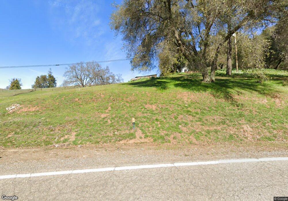
15385 Clinton Rd Jackson, CA 95642
Estimated Value: $376,719 - $491,000
2
Beds
2
Baths
982
Sq Ft
$431/Sq Ft
Est. Value
About This Home
This home is located at 15385 Clinton Rd, Jackson, CA 95642 and is currently estimated at $423,180, approximately $430 per square foot. 15385 Clinton Rd is a home located in Amador County with nearby schools including Jackson Elementary School, Jackson Junior High School, and Argonaut High School.
Ownership History
Date
Name
Owned For
Owner Type
Purchase Details
Closed on
Jan 21, 2022
Sold by
Richmond James A
Bought by
James Alan Richmond 2022 Revocable Trust
Current Estimated Value
Purchase Details
Closed on
Aug 21, 2008
Sold by
Carlson Ronald L and Carlson Kathryn M
Bought by
Richmond James A
Home Financials for this Owner
Home Financials are based on the most recent Mortgage that was taken out on this home.
Original Mortgage
$40,000
Interest Rate
6.37%
Mortgage Type
Unknown
Purchase Details
Closed on
Aug 8, 2001
Sold by
Carlson Kathryn M and Victorino Kathryn Marie
Bought by
Carlson Ronald L and Carlson Kathryn M
Home Financials for this Owner
Home Financials are based on the most recent Mortgage that was taken out on this home.
Original Mortgage
$132,000
Interest Rate
7.19%
Create a Home Valuation Report for This Property
The Home Valuation Report is an in-depth analysis detailing your home's value as well as a comparison with similar homes in the area
Home Values in the Area
Average Home Value in this Area
Purchase History
| Date | Buyer | Sale Price | Title Company |
|---|---|---|---|
| James Alan Richmond 2022 Revocable Trust | -- | None Listed On Document | |
| Richmond James A | $280,000 | First American Title Company | |
| Carlson Ronald L | -- | First American Title Co |
Source: Public Records
Mortgage History
| Date | Status | Borrower | Loan Amount |
|---|---|---|---|
| Previous Owner | Richmond James A | $40,000 | |
| Previous Owner | Carlson Ronald L | $132,000 |
Source: Public Records
Tax History Compared to Growth
Tax History
| Year | Tax Paid | Tax Assessment Tax Assessment Total Assessment is a certain percentage of the fair market value that is determined by local assessors to be the total taxable value of land and additions on the property. | Land | Improvement |
|---|---|---|---|---|
| 2025 | $3,575 | $360,557 | $244,666 | $115,891 |
| 2024 | $3,575 | $353,488 | $239,869 | $113,619 |
| 2023 | $3,504 | $346,558 | $235,166 | $111,392 |
| 2022 | $3,415 | $339,763 | $230,555 | $109,208 |
| 2021 | $3,094 | $308,040 | $176,022 | $132,018 |
| 2020 | $2,946 | $293,371 | $167,640 | $125,731 |
| 2019 | $2,804 | $279,401 | $159,657 | $119,744 |
| 2018 | $2,695 | $268,654 | $153,516 | $115,138 |
| 2017 | $2,361 | $235,661 | $134,663 | $100,998 |
| 2016 | $2,104 | $210,412 | $120,235 | $90,177 |
| 2015 | $2,023 | $202,320 | $115,611 | $86,709 |
| 2014 | $1,834 | $183,927 | $105,101 | $78,826 |
Source: Public Records
Map
Nearby Homes
- 14950 Clinton Rd
- 16300 Rossbridge Rd
- 16440 Clinton Rd
- 581 Scottsville Blvd
- 2069 Thomas Dr
- 126 Frontier Dr
- 1571 Nevill Ct
- 33 N Pioneer Cir
- 151 Emerald Ln
- 2043 Thomas Dr
- 16336-16336 King Rd
- 20 Rollingwood Dr
- 20 Rollingwood Dr Unit 155
- 20 Rollingwood Dr Unit 50
- 20 Rollingwood Dr Unit 88
- 20 Rollingwood Dr Unit 19
- 20 Rollingwood Dr Unit 55
- 20 Rollingwood Dr Unit 159
- 20 Rollingwood Dr Unit 141
- 20 Rollingwood Dr Unit 63
- 15371 Clinton Rd
- 15361 Clinton Rd
- 15209 Clinton Rd
- 15280 Clinton Rd
- 15501 Clinton Rd
- 15701 Clinton Rd
- 15160 Clinton Rd
- 15900 State Highway 88
- 15650 Clinton Rd
- 15100 Clinton Rd
- 16060 State Highway 88
- 15170 Ousby Rd
- 15201 Clinton Rd
- 15136 Ousby Rd
- 15104 Ousby Rd
- 15008 Clinton Rd
- 15100 Ousby Rd
- 15231 State Highway 88
- 15040 Clinton Rd
- 15171 State Highway 88
