15391 Cow Face Rd Lowell, AR 72745
Estimated Value: $500,000 - $880,000
3
Beds
2
Baths
3,328
Sq Ft
$204/Sq Ft
Est. Value
About This Home
This home is located at 15391 Cow Face Rd, Lowell, AR 72745 and is currently estimated at $678,565, approximately $203 per square foot. 15391 Cow Face Rd is a home located in Benton County with nearby schools including Monitor Elementary School, Sonora Middle School, and Lakeside Junior High School.
Ownership History
Date
Name
Owned For
Owner Type
Purchase Details
Closed on
Apr 19, 2006
Sold by
Evans Mackel Earl
Bought by
Clark Don L and Clark Deborah J
Current Estimated Value
Home Financials for this Owner
Home Financials are based on the most recent Mortgage that was taken out on this home.
Original Mortgage
$100,000
Interest Rate
6.32%
Mortgage Type
Construction
Purchase Details
Closed on
Aug 18, 1997
Bought by
Clark
Purchase Details
Closed on
Aug 14, 1991
Bought by
White
Create a Home Valuation Report for This Property
The Home Valuation Report is an in-depth analysis detailing your home's value as well as a comparison with similar homes in the area
Home Values in the Area
Average Home Value in this Area
Purchase History
| Date | Buyer | Sale Price | Title Company |
|---|---|---|---|
| Clark Don L | $100,000 | None Available | |
| Clark | $126,000 | -- | |
| Miller | $100,000 | -- | |
| White | $6,000 | -- |
Source: Public Records
Mortgage History
| Date | Status | Borrower | Loan Amount |
|---|---|---|---|
| Previous Owner | Clark Don L | $100,000 |
Source: Public Records
Tax History Compared to Growth
Tax History
| Year | Tax Paid | Tax Assessment Tax Assessment Total Assessment is a certain percentage of the fair market value that is determined by local assessors to be the total taxable value of land and additions on the property. | Land | Improvement |
|---|---|---|---|---|
| 2025 | $2,334 | $80,124 | $6,902 | $73,222 |
| 2024 | $1,896 | $80,124 | $6,902 | $73,222 |
| 2023 | $1,894 | $58,270 | $3,480 | $54,790 |
| 2022 | $1,566 | $58,270 | $3,480 | $54,790 |
| 2021 | $1,561 | $58,270 | $3,480 | $54,790 |
| 2020 | $1,564 | $39,830 | $1,910 | $37,920 |
| 2019 | $1,564 | $39,830 | $1,910 | $37,920 |
| 2018 | $1,589 | $39,830 | $1,910 | $37,920 |
| 2017 | $1,563 | $39,830 | $1,910 | $37,920 |
| 2016 | $1,563 | $39,830 | $1,910 | $37,920 |
| 2015 | $1,739 | $36,540 | $2,140 | $34,400 |
| 2014 | $1,432 | $36,540 | $2,140 | $34,400 |
Source: Public Records
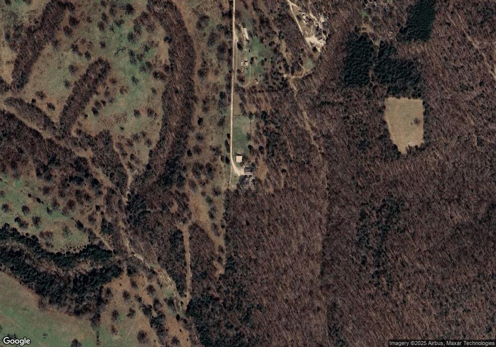
Map
Nearby Homes
- TBD Park Ridge Dr
- 14864 Park Ridge Dr
- 0 E Ar Hwy 264 Unit 1303701
- 0 Blueberry Ln
- 0 Monitor Rd Unit 1301451
- 3017 Hattie Ln
- 23130 War Eagle Blacktop Rd
- 3100 Hattie Ln
- 4900 Elnora Ln
- 3108 Hattie Ln
- 22058 Dogwood Cir
- 15364 Twin Pines Rd
- 4908 Elnora Ln
- 12981 Recreation Dr
- 22037 Dogwood Cir
- 22631 Jennings Dr
- 0 N Parsons Rd Unit 22391840
- 23513 Lakeview Terrace
- 21830 Friendship View Dr
- 0 E Carefree Ln
- 13844 Red Rock Rd
- 13780 Red Rock Rd
- 15383 Kittybump Rd
- 15653 Cow Face Rd
- 13582 Red Rock Rd
- 15789 Cow Face Rd
- 15657 Cow Face Rd
- 15467 Cow Face Rd
- 15465 Cow Face Rd
- 13488 Red Rock Rd
- 15067 Cow Face Rd
- 15531 Cow Face Rd
- 15531 Cow Face Rd
- 15741 Cow Face Rd
- 191 Cowface Rd
- 15905 Cow Face Rd
- 40Ac Cow Face Rd
- 147Ac Cow Face Rd
- 28Ac Cow Face Rd
- 15153 Cow Face Rd