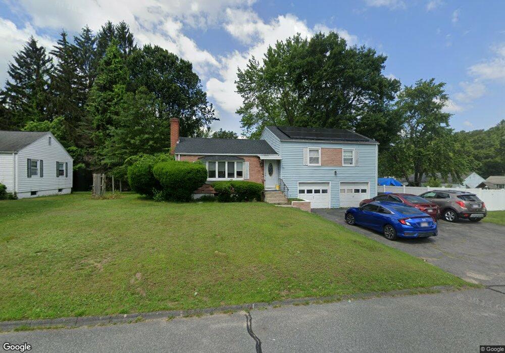
154 Bacon Rd Springfield, MA 01119
Sixteen Acres NeighborhoodEstimated Value: $285,000 - $309,566
3
Beds
2
Baths
1,202
Sq Ft
$251/Sq Ft
Est. Value
About This Home
This home is located at 154 Bacon Rd, Springfield, MA 01119 and is currently estimated at $302,142, approximately $251 per square foot. 154 Bacon Rd is a home located in Hampden County with nearby schools including Frank H. Freedman School, John J Duggan Middle, and Springfield High School of Science and Technology.
Ownership History
Date
Name
Owned For
Owner Type
Purchase Details
Closed on
Jan 21, 1997
Sold by
Massachusetts Co Inc
Bought by
Bednaz John J and Bednaz Aida L
Current Estimated Value
Home Financials for this Owner
Home Financials are based on the most recent Mortgage that was taken out on this home.
Original Mortgage
$79,478
Outstanding Balance
$8,329
Interest Rate
7.36%
Mortgage Type
Purchase Money Mortgage
Estimated Equity
$293,813
Purchase Details
Closed on
Apr 17, 1996
Sold by
Sanders C C and Sharpe Benita L
Bought by
Ma Co Inc
Purchase Details
Closed on
Mar 20, 1987
Sold by
Handford Lugrone
Bought by
Sanders Cc
Home Financials for this Owner
Home Financials are based on the most recent Mortgage that was taken out on this home.
Original Mortgage
$41,500
Interest Rate
9.02%
Mortgage Type
Purchase Money Mortgage
Create a Home Valuation Report for This Property
The Home Valuation Report is an in-depth analysis detailing your home's value as well as a comparison with similar homes in the area
Home Values in the Area
Average Home Value in this Area
Purchase History
| Date | Buyer | Sale Price | Title Company |
|---|---|---|---|
| Bednaz John J | $80,000 | -- | |
| Ma Co Inc | $70,000 | -- | |
| Sanders Cc | $80,000 | -- |
Source: Public Records
Mortgage History
| Date | Status | Borrower | Loan Amount |
|---|---|---|---|
| Open | Sanders Cc | $79,478 | |
| Previous Owner | Sanders Cc | $63,500 | |
| Previous Owner | Sanders Cc | $41,500 |
Source: Public Records
Tax History
| Year | Tax Paid | Tax Assessment Tax Assessment Total Assessment is a certain percentage of the fair market value that is determined by local assessors to be the total taxable value of land and additions on the property. | Land | Improvement |
|---|---|---|---|---|
| 2025 | $3,564 | $227,300 | $56,400 | $170,900 |
| 2024 | $3,504 | $218,200 | $56,400 | $161,800 |
| 2023 | $3,465 | $203,200 | $53,700 | $149,500 |
| 2022 | $3,181 | $169,000 | $53,700 | $115,300 |
| 2021 | $3,096 | $163,800 | $48,800 | $115,000 |
| 2020 | $3,049 | $156,100 | $48,800 | $107,300 |
| 2019 | $2,940 | $149,400 | $48,800 | $100,600 |
| 2018 | $2,802 | $142,400 | $48,800 | $93,600 |
| 2017 | $2,841 | $144,500 | $53,800 | $90,700 |
| 2016 | $2,642 | $134,400 | $53,800 | $80,600 |
| 2015 | $2,571 | $130,700 | $53,800 | $76,900 |
Source: Public Records
Map
Nearby Homes
Your Personal Tour Guide
Ask me questions while you tour the home.