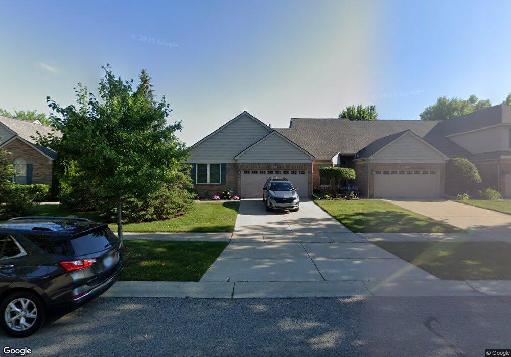
154 Carson Dr Unit 119 Westland, MI 48185
Estimated Value: $217,740 - $266,000
2
Beds
2
Baths
1,162
Sq Ft
$208/Sq Ft
Est. Value
About This Home
This home is located at 154 Carson Dr Unit 119, Westland, MI 48185 and is currently estimated at $242,185, approximately $208 per square foot. 154 Carson Dr Unit 119 is a home located in Wayne County with nearby schools including P.D. Graham Elementary School, Adlai Stevenson Middle School, and John Glenn High School.
Ownership History
Date
Name
Owned For
Owner Type
Purchase Details
Closed on
May 4, 2015
Sold by
Visai Manoj S and Visai Uma
Bought by
Kenske William R and Kenske Donna J
Current Estimated Value
Purchase Details
Closed on
Aug 25, 2004
Sold by
Maszatics Joan M and Joan M Maszatics Trust #1
Bought by
Visai Manoj S
Purchase Details
Closed on
Jul 11, 2003
Sold by
Galaxy Builders Inc
Bought by
Maszatics Joan M and Joan M Maszatics Trust #1
Create a Home Valuation Report for This Property
The Home Valuation Report is an in-depth analysis detailing your home's value as well as a comparison with similar homes in the area
Home Values in the Area
Average Home Value in this Area
Purchase History
| Date | Buyer | Sale Price | Title Company |
|---|---|---|---|
| Kenske William R | $130,000 | None Available | |
| Visai Manoj S | $185,000 | First American Title | |
| Maszatics Joan M | $185,314 | -- |
Source: Public Records
Tax History
| Year | Tax Paid | Tax Assessment Tax Assessment Total Assessment is a certain percentage of the fair market value that is determined by local assessors to be the total taxable value of land and additions on the property. | Land | Improvement |
|---|---|---|---|---|
| 2025 | $3,202 | $102,100 | $0 | $0 |
| 2024 | $3,139 | $95,900 | $0 | $0 |
| 2023 | $2,998 | $85,200 | $0 | $0 |
| 2022 | $3,453 | $77,200 | $0 | $0 |
| 2021 | $3,366 | $74,300 | $0 | $0 |
| 2020 | $3,328 | $71,200 | $0 | $0 |
| 2019 | $3,209 | $67,300 | $0 | $0 |
| 2018 | $2,466 | $65,200 | $0 | $0 |
| 2017 | $1,096 | $62,200 | $0 | $0 |
| 2016 | $3,113 | $62,200 | $0 | $0 |
| 2015 | $4,611 | $53,120 | $0 | $0 |
| 2013 | $4,467 | $45,780 | $0 | $0 |
| 2012 | $3,164 | $46,900 | $0 | $0 |
Source: Public Records
Map
Nearby Homes
- 285 Carson Dr Unit 156
- 312 Brookfield Dr Unit 4
- 127 S John Hix St
- 714 Autumn Ridge Dr Unit 64
- 308 Marigold Cir Unit 54
- 312 Marigold Cir Unit 52
- 314 Marigold Cir Unit 49
- 39234 Gloucester St
- 870 N Lotz Rd
- 901 N Hix Rd
- 457 N Sybald St
- 352 Cherry Hill Pointe Dr Unit 33
- 0 Cherry Hill Unit 16924
- 1001 Manor Dr
- 38478 Loruss Ave
- 39209 Nottingham St
- 00000 Avondale St
- 1750 N Hix Rd
- 1260 S John Hix St
- 38032 Hixford Place Unit 20
- 308 Brookfield Dr Unit 3
- 203 Carson Dr Unit 166
- 172 Carson Dr Unit 122
- 328 Brookfield Dr Unit 8
- 324 Brookfield Dr Unit 7
- 166 Carson Dr Unit 121
- 386 Brookfield Dr Unit 22
- 295 Carson Dr Unit 155
- 370 Brookfield Dr Unit 18
- 394 Brookfield Dr Unit 24
- 310 Carson Dr Unit 133
- 293 Brookfield Dr Unit 27
- 225 Carson Dr Unit 161
- 382 Brookfield Dr Unit 21
- 344 Brookfield Dr Unit 12
- 356 Brookfield Dr Unit 14
- 355 Carson Dr Unit 152
- 124 Carson Dr Unit 114
- 332 Brookfield Dr Unit 9
- 362 Brookfield Dr Unit 16
Your Personal Tour Guide
Ask me questions while you tour the home.