154 Heron Ln Gilbert, SC 29054
Estimated Value: $1,220,000 - $1,734,388
3
Beds
5
Baths
4,106
Sq Ft
$373/Sq Ft
Est. Value
About This Home
This home is located at 154 Heron Ln, Gilbert, SC 29054 and is currently estimated at $1,532,796, approximately $373 per square foot. 154 Heron Ln is a home with nearby schools including Centerville Elementary School, Gilbert Primary School, and Gilbert Middle School.
Ownership History
Date
Name
Owned For
Owner Type
Purchase Details
Closed on
Jun 1, 2006
Sold by
Woerner Gennie
Bought by
Woerner Gennie and Gennie Woerner Revocable Trust Agreement
Current Estimated Value
Purchase Details
Closed on
Dec 1, 2004
Sold by
Woerner Frederick F
Bought by
Woerner Frederick F and Frederick F Woerner Jr Revocable Trust
Purchase Details
Closed on
Aug 22, 2003
Sold by
Teberg Barbara
Bought by
Woerner Fred F
Purchase Details
Closed on
Aug 14, 2003
Sold by
Gipson Tom L
Bought by
Fuller Patricia
Create a Home Valuation Report for This Property
The Home Valuation Report is an in-depth analysis detailing your home's value as well as a comparison with similar homes in the area
Home Values in the Area
Average Home Value in this Area
Purchase History
| Date | Buyer | Sale Price | Title Company |
|---|---|---|---|
| Woerner Gennie | -- | None Available | |
| Woerner Gennie | -- | None Available | |
| Woerner Frederick F | -- | None Available | |
| Woerner Frederick F | -- | -- | |
| Woerner Gennie | -- | -- | |
| Woerner Fred F | $699,900 | -- | |
| Fuller Patricia | $204,900 | -- |
Source: Public Records
Tax History Compared to Growth
Tax History
| Year | Tax Paid | Tax Assessment Tax Assessment Total Assessment is a certain percentage of the fair market value that is determined by local assessors to be the total taxable value of land and additions on the property. | Land | Improvement |
|---|---|---|---|---|
| 2024 | $7,071 | $45,830 | $26,400 | $19,430 |
| 2023 | $6,421 | $45,830 | $26,400 | $19,430 |
| 2022 | $6,411 | $45,830 | $26,400 | $19,430 |
| 2020 | $6,585 | $45,830 | $26,400 | $19,430 |
| 2019 | $3,620 | $25,982 | $6,400 | $19,582 |
| 2018 | $4,287 | $30,782 | $11,200 | $19,582 |
| 2017 | $4,150 | $30,782 | $11,200 | $19,582 |
| 2016 | $4,122 | $30,782 | $11,200 | $19,582 |
| 2014 | $4,828 | $37,123 | $15,400 | $21,723 |
| 2013 | -- | $37,120 | $15,400 | $21,720 |
Source: Public Records
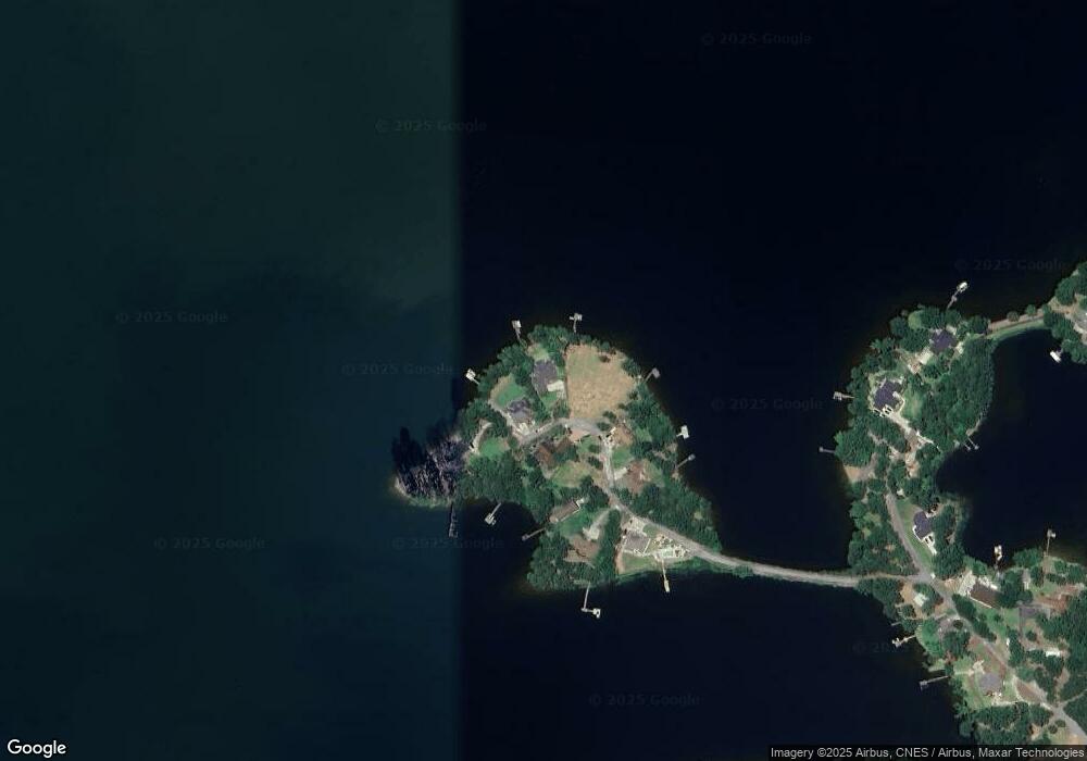
Map
Nearby Homes
- 501 Canasta Dr
- 163 Harvest Moon Dr
- 1366 Camping Rd
- 102 Hideaway Cove Ct
- 573 Canasta Dr
- 101 Port'O Call
- LITCHFIELD Plan at Shell Pointe
- HARBOR OAK Plan at Shell Pointe
- FORRESTER Plan at Shell Pointe
- EATON Plan at Shell Pointe
- TILLMAN Plan at Shell Pointe
- WESTERLY Plan at Shell Pointe
- DARBY Plan at Shell Pointe
- TRIVECTA Plan at Shell Pointe
- 0 Shirey Branch Rd Unit 617988
- 421 W Point Dr
- 1620 Deep Cove Ln
- 1628 Deep Cove Ln
- 166 Marina Cove Dr
- 0 Shore Rd Unit 589523
- 158 Heron Ln
- 145 Heron Ln
- 151 Heron Ln
- 144 Heron Ln
- 162 Heron Ln
- 137 Heron Ln
- 131 Heron Ln
- 539 Peninsula Dr
- 525 Peninsula Dr
- 545 Peninsula Dr
- Lot 8 & Pt Of 9 Peninsula Dr
- 540 Peninsula Dr
- 536 Peninsula Dr
- 0 Peninsula Dr Unit 275510
- 0 Peninsula Dr Unit 301149
- 559 Peninsula Dr
- 531 Beulah Church Rd
- 527 Beulah Church Rd
- 526 Beulah Church Rd
- 523 Beulah Church Rd