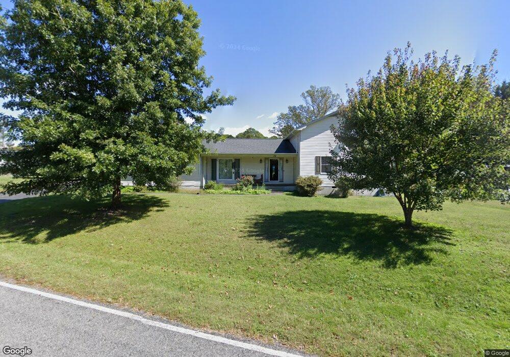
154 Monroe Rd Mount Airy, NC 27030
Estimated Value: $301,000 - $374,000
3
Beds
2
Baths
2,270
Sq Ft
$152/Sq Ft
Est. Value
About This Home
This home is located at 154 Monroe Rd, Mount Airy, NC 27030 and is currently estimated at $345,343, approximately $152 per square foot. 154 Monroe Rd is a home located in Surry County with nearby schools including Bruce H. Tharrington Elementary School, Mount Airy Middle School, and Mount Airy High School.
Ownership History
Date
Name
Owned For
Owner Type
Purchase Details
Closed on
Oct 9, 2020
Sold by
Cox Jeffrey R and Cox Tabatha
Bought by
Gullion Brian and Gullion Jennifer
Current Estimated Value
Home Financials for this Owner
Home Financials are based on the most recent Mortgage that was taken out on this home.
Original Mortgage
$217,171
Outstanding Balance
$192,725
Interest Rate
2.9%
Mortgage Type
New Conventional
Estimated Equity
$152,618
Purchase Details
Closed on
Jun 24, 2020
Sold by
Atkins-Neely Bonnie
Bought by
Cox Jeffrey R
Purchase Details
Closed on
Nov 17, 2016
Sold by
Neely Bonnie and Atkins Bonnie Harrell
Bought by
Neely Bonnie and Neely William
Purchase Details
Closed on
Mar 1, 1990
Purchase Details
Closed on
Dec 1, 1979
Purchase Details
Closed on
Jul 1, 1978
Create a Home Valuation Report for This Property
The Home Valuation Report is an in-depth analysis detailing your home's value as well as a comparison with similar homes in the area
Purchase History
| Date | Buyer | Sale Price | Title Company |
|---|---|---|---|
| Gullion Brian | $215,000 | None Available | |
| Cox Jeffrey R | -- | None Available | |
| Neely Bonnie | -- | None Available | |
| -- | -- | -- | |
| -- | -- | -- | |
| -- | -- | -- |
Source: Public Records
Mortgage History
| Date | Status | Borrower | Loan Amount |
|---|---|---|---|
| Open | Gullion Brian | $217,171 |
Source: Public Records
Tax History
| Year | Tax Paid | Tax Assessment Tax Assessment Total Assessment is a certain percentage of the fair market value that is determined by local assessors to be the total taxable value of land and additions on the property. | Land | Improvement |
|---|---|---|---|---|
| 2025 | $2,058 | $278,510 | $15,000 | $263,510 |
| 2024 | $1,633 | $205,810 | $15,000 | $190,810 |
| 2023 | $1,610 | $205,810 | $15,000 | $190,810 |
| 2022 | $1,610 | $205,810 | $15,000 | $190,810 |
| 2021 | $1,633 | $205,810 | $15,000 | $190,810 |
| 2020 | $1,350 | $161,660 | $15,000 | $146,660 |
| 2019 | $1,347 | $161,660 | $0 | $0 |
| 2018 | $1,332 | $162,180 | $0 | $0 |
| 2017 | $1,327 | $162,180 | $0 | $0 |
| 2016 | $1,299 | $162,180 | $0 | $0 |
| 2013 | -- | $153,370 | $0 | $0 |
Source: Public Records
Map
Nearby Homes
- 845 Linville Rd
- 187 Eaton St
- 279 Stanley Rd
- 111 Dozier Ln
- 607 Riverside Dr
- .49 ac Linville Rd
- .59 ac Linville Rd
- 1711 Inglebrook Trail
- 2065 Cynthia Dr
- TBD Old Springs Rd
- 636 Hamburg St
- 417 Fulton Ave
- 124 Rocky Ln
- 0 Frank St
- 129 E Oakdale St
- 234 Hylton St
- 2149 Margaret Dr
- 311 E Lebanon St
- 2142 Elizabeth Dr
- 240 Deatherage Rd
Your Personal Tour Guide
Ask me questions while you tour the home.