154 Pheasant Ridge Dr Montrose, MN 55363
Estimated Value: $242,857 - $263,000
2
Beds
2
Baths
1,189
Sq Ft
$214/Sq Ft
Est. Value
About This Home
This home is located at 154 Pheasant Ridge Dr, Montrose, MN 55363 and is currently estimated at $254,714, approximately $214 per square foot. 154 Pheasant Ridge Dr is a home located in Wright County with nearby schools including Montrose Elementary School, Buffalo Community Middle School, and Buffalo Senior High School.
Ownership History
Date
Name
Owned For
Owner Type
Purchase Details
Closed on
Feb 7, 2007
Sold by
Wells Fargo Bank Na
Bought by
Hernandez Evelyn and Hernandez Armando
Current Estimated Value
Purchase Details
Closed on
Dec 18, 2003
Sold by
Shade Tree Construction Inc
Bought by
Rautiola Steven J and Rautiola Diana L
Purchase Details
Closed on
Nov 8, 2001
Sold by
Trison Development Inc
Bought by
Shade Tree Construction Inc
Create a Home Valuation Report for This Property
The Home Valuation Report is an in-depth analysis detailing your home's value as well as a comparison with similar homes in the area
Home Values in the Area
Average Home Value in this Area
Purchase History
| Date | Buyer | Sale Price | Title Company |
|---|---|---|---|
| Hernandez Evelyn | $135,000 | -- | |
| Rautiola Steven J | $149,300 | -- | |
| Shade Tree Construction Inc | $245,000 | -- |
Source: Public Records
Tax History Compared to Growth
Tax History
| Year | Tax Paid | Tax Assessment Tax Assessment Total Assessment is a certain percentage of the fair market value that is determined by local assessors to be the total taxable value of land and additions on the property. | Land | Improvement |
|---|---|---|---|---|
| 2025 | $2,442 | $217,700 | $25,000 | $192,700 |
| 2024 | $2,604 | $210,700 | $25,000 | $185,700 |
| 2023 | $2,604 | $238,600 | $52,000 | $186,600 |
| 2022 | $2,362 | $220,500 | $52,000 | $168,500 |
| 2021 | $2,146 | $174,000 | $20,000 | $154,000 |
| 2020 | $2,308 | $156,500 | $15,000 | $141,500 |
| 2019 | $1,986 | $163,900 | $0 | $0 |
| 2018 | $1,748 | $125,000 | $0 | $0 |
| 2017 | $1,622 | $109,900 | $0 | $0 |
| 2016 | $1,534 | $0 | $0 | $0 |
| 2015 | $1,310 | $0 | $0 | $0 |
| 2014 | -- | $0 | $0 | $0 |
Source: Public Records
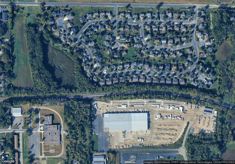
Map
Nearby Homes
- 150 Pheasant Ridge Dr
- 137 Pheasant Ridge Dr
- 301 Center Ave S
- 426 Dillon Ave N
- 161 Mindy Ln Unit 9
- 149 Mindy Ln
- 610 Emerson Ave N
- 517 2nd St S
- 703 7th St N
- 305 Garfield Ave S
- 726 7th St N
- 684 Aspen Ln
- 643 Fieldcrest Ave N
- 683 Aspen Ln
- 690 Aspen Ln
- 685 Aspen Ln
- 645 Fieldcrest Ave N
- 687 Aspen Ln
- 692 Aspen Ln
- 689 Aspen Ln
- 156 Pheasant Ridge Dr
- 152 Pheasant Ridge Dr
- 158 Pheasant Ridge Dr
- 148 Pheasant Ridge Dr
- 160 Pheasant Ridge Dr
- 162 Pheasant Ridge Dr
- 146 Pheasant Ridge Dr
- 157 Pheasant Ridge Dr
- 164 Pheasant Ridge Dr
- 144 Pheasant Ridge Dr
- 145 Pheasant Ridge Dr
- 161 Pheasant Ridge Dr
- 166 Pheasant Ridge Dr
- 142 Pheasant Ridge Dr
- 168 Pheasant Ridge Dr
- 139 Pheasant Ridge Dr
- 207 Pheasant Run Dr
- 170 Pheasant Ridge Dr
- 205 Pheasant Run Dr
- 167 Pheasant Ridge Dr