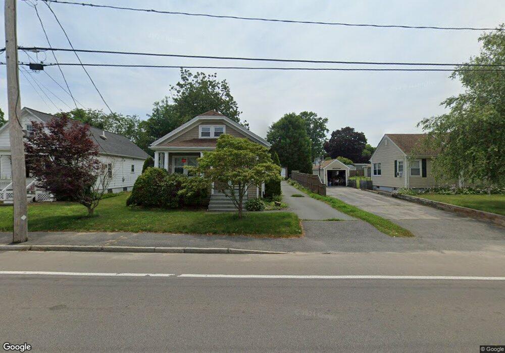
154 Wilbur Ave Swansea, MA 02777
South Swansea NeighborhoodEstimated Value: $362,000 - $443,000
3
Beds
1
Bath
1,135
Sq Ft
$348/Sq Ft
Est. Value
About This Home
This home is located at 154 Wilbur Ave, Swansea, MA 02777 and is currently estimated at $394,550, approximately $347 per square foot. 154 Wilbur Ave is a home located in Bristol County with nearby schools including Joseph Case High School, Swansea Wood School, and SCEC Life Academy.
Ownership History
Date
Name
Owned For
Owner Type
Purchase Details
Closed on
Mar 29, 1993
Sold by
Decosta Cathy A and Decosta Matthew J
Bought by
Amorin Paul F and Amorin Lea S
Current Estimated Value
Purchase Details
Closed on
Jun 28, 1989
Sold by
Bate Ada L
Bought by
Silvia Cathy A
Create a Home Valuation Report for This Property
The Home Valuation Report is an in-depth analysis detailing your home's value as well as a comparison with similar homes in the area
Home Values in the Area
Average Home Value in this Area
Purchase History
| Date | Buyer | Sale Price | Title Company |
|---|---|---|---|
| Amorin Paul F | $106,000 | -- | |
| Silvia Cathy A | $107,500 | -- |
Source: Public Records
Mortgage History
| Date | Status | Borrower | Loan Amount |
|---|---|---|---|
| Open | Silvia Cathy A | $192,584 | |
| Closed | Silvia Cathy A | $130,000 | |
| Closed | Silvia Cathy A | $86,252 | |
| Closed | Silvia Cathy A | $25,000 |
Source: Public Records
Tax History Compared to Growth
Tax History
| Year | Tax Paid | Tax Assessment Tax Assessment Total Assessment is a certain percentage of the fair market value that is determined by local assessors to be the total taxable value of land and additions on the property. | Land | Improvement |
|---|---|---|---|---|
| 2025 | $3,242 | $272,000 | $131,000 | $141,000 |
| 2024 | $3,237 | $270,000 | $131,000 | $139,000 |
| 2023 | $2,893 | $220,300 | $95,700 | $124,600 |
| 2022 | $2,856 | $198,500 | $87,000 | $111,500 |
| 2021 | $2,556 | $163,500 | $83,400 | $80,100 |
| 2020 | $2,543 | $163,200 | $83,400 | $79,800 |
| 2019 | $2,365 | $152,500 | $74,300 | $78,200 |
| 2018 | $2,159 | $141,300 | $70,900 | $70,400 |
| 2017 | $2,015 | $151,700 | $70,900 | $80,800 |
| 2016 | $1,831 | $135,400 | $61,300 | $74,100 |
| 2015 | $1,673 | $127,400 | $61,300 | $66,100 |
| 2014 | $1,816 | $141,400 | $61,300 | $80,100 |
Source: Public Records
Map
Nearby Homes
- 148 Wilbur Ave
- 162 Wilbur Ave
- 5 Barlow St
- 142 Wilbur Ave
- 168 Wilbur Ave
- 136 Wilbur Ave
- 20 New Gardner Neck Rd
- 157 Wilbur Ave
- 157 Wilbur Ave Unit 1
- 737 Gardners Neck Rd
- 24 New Gardner Neck Rd
- 178 Wilbur Ave
- 141 Wilbur Ave
- 165 Wilbur Ave
- 6 Barlow St
- 175 Wilbur Ave
- 36 New Gardner Neck Rd
- 699 Gardners Neck Rd
- 118 Wilbur Ave
- 17 New Gardner Neck Rd