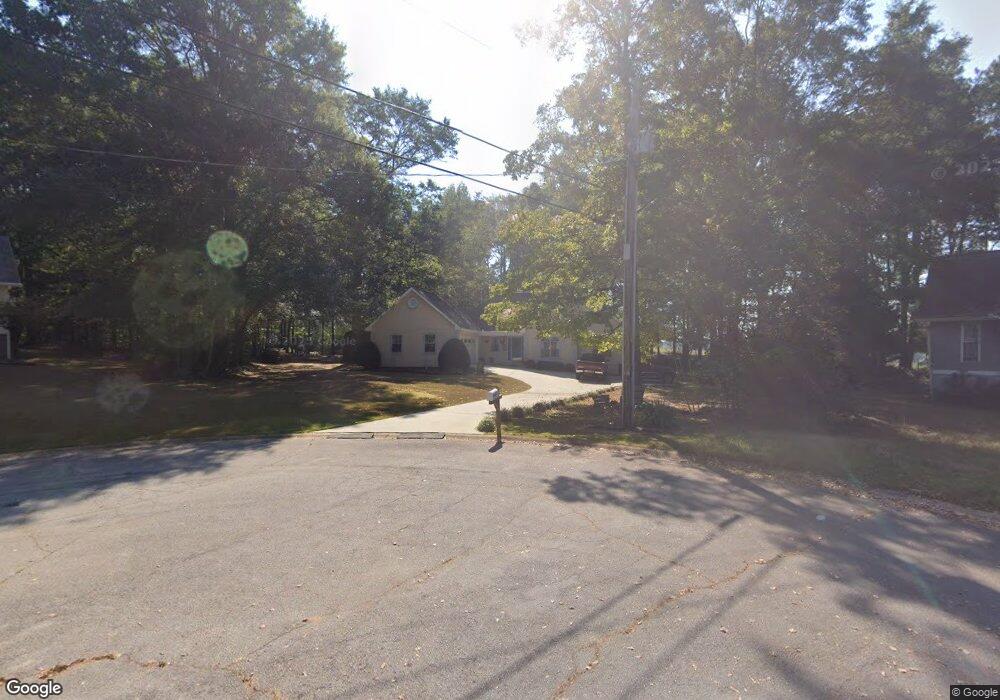
154 Wooddale Ln Carrollton, GA 30117
Estimated Value: $272,483 - $308,000
3
Beds
2
Baths
1,546
Sq Ft
$186/Sq Ft
Est. Value
About This Home
This home is located at 154 Wooddale Ln, Carrollton, GA 30117 and is currently estimated at $286,871, approximately $185 per square foot. 154 Wooddale Ln is a home located in Carroll County with nearby schools including Central Elementary School, Central Middle School, and Central High School.
Ownership History
Date
Name
Owned For
Owner Type
Purchase Details
Closed on
Jul 24, 2000
Sold by
Price James R and Price Sand
Bought by
Cook Dennis and Cook Ann
Current Estimated Value
Purchase Details
Closed on
Dec 3, 1998
Sold by
Barnett Danny S & Re
Bought by
Price James R and Price Sand
Purchase Details
Closed on
Apr 7, 1997
Sold by
Barnett Danny S & Re
Bought by
Barnett Danny S & Re
Purchase Details
Closed on
May 20, 1996
Sold by
Citizen Bank & Trust
Bought by
Barnett Danny S & Re
Purchase Details
Closed on
May 7, 1996
Sold by
Williams Ada M and Williams Jer
Bought by
Citizen Bank & Trust
Create a Home Valuation Report for This Property
The Home Valuation Report is an in-depth analysis detailing your home's value as well as a comparison with similar homes in the area
Home Values in the Area
Average Home Value in this Area
Purchase History
| Date | Buyer | Sale Price | Title Company |
|---|---|---|---|
| Cook Dennis | $118,000 | -- | |
| Price James R | $122,000 | -- | |
| Barnett Danny S & Re | -- | -- | |
| Barnett Danny S & Re | $92,600 | -- | |
| Citizen Bank & Trust | $92,600 | -- |
Source: Public Records
Tax History Compared to Growth
Tax History
| Year | Tax Paid | Tax Assessment Tax Assessment Total Assessment is a certain percentage of the fair market value that is determined by local assessors to be the total taxable value of land and additions on the property. | Land | Improvement |
|---|---|---|---|---|
| 2024 | $253 | $105,228 | $6,000 | $99,228 |
| 2023 | $253 | $96,260 | $6,000 | $90,260 |
| 2022 | $301 | $78,418 | $6,000 | $72,418 |
| 2021 | $304 | $68,052 | $6,000 | $62,052 |
| 2020 | $305 | $60,838 | $6,000 | $54,838 |
| 2019 | $313 | $58,733 | $10,000 | $48,733 |
| 2018 | $328 | $54,186 | $10,000 | $44,186 |
| 2017 | $332 | $54,186 | $10,000 | $44,186 |
| 2016 | $332 | $54,186 | $10,000 | $44,186 |
| 2015 | $1,224 | $47,754 | $4,800 | $42,954 |
| 2014 | $1,229 | $47,754 | $4,800 | $42,954 |
Source: Public Records
Map
Nearby Homes
- 105 Woodbine Dr
- 345 Piney Grove Rd
- 399 Old Camp Church Rd
- 0 Bonner Rd Unit 10635754
- 20 Camp Ct
- 95 Camp Ln
- 0 Buffalo Creek Rd Unit 10624169
- 533 Buffalo Creek Rd
- The Coleman Plan at Summerfield Place
- The Pearson Plan at Summerfield Place
- The Piedmont Plan at Summerfield Place
- The Harrington Plan at Summerfield Place
- The McGinnis Plan at Summerfield Place
- The Telfair Plan at Summerfield Place
- 21 Crabapple Place
- 1531 Tyus Carrollton Rd
- 115 Greenwood Ln
- 40 Red Holly Gap
- 130 Maple Crossing Unit 1
- 130 Maple Crossing Unit LOT 2
- 144 Wooddale Ln
- 143 Wooddale Ln
- 710 Old Camp Church Rd
- 715 Old Camp Church Rd
- 134 Wooddale Ln
- 0.6+/- Sunny Brook Ln
- 124 Wooddale Ln
- 24 Sunny Brook
- 24 Sunny Brook Ln
- 38 Sunny Brook Ln
- 30 Sunny Brook Ln
- 0 Sunny Brook Ln Unit 20092055
- 11 Sunny Brook
- 695 Old Camp Church Rd
- 678 Old Camp Church Rd
- 671 Old Camp Church Rd
- 114 Wooddale Ln
- 30 Sunny Brook
- 661 Old Camp Church Rd
- 27 Sunny Brook Ln