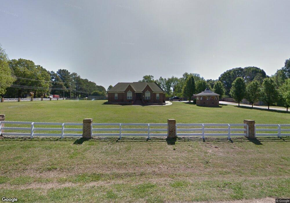
1540 Broady Rd Nesbit, MS 38651
Estimated Value: $367,735 - $509,000
Studio
--
Bath
2,770
Sq Ft
$152/Sq Ft
Est. Value
About This Home
This home is located at 1540 Broady Rd, Nesbit, MS 38651 and is currently estimated at $421,684, approximately $152 per square foot. 1540 Broady Rd is a home located in DeSoto County with nearby schools including Oak Grove Central Elementary School, Hernando Hills Elementary, and Hernando Elementary School.
Ownership History
Date
Name
Owned For
Owner Type
Purchase Details
Closed on
Feb 29, 2016
Sold by
Loya Miguel
Bought by
Zapata Fabiola
Current Estimated Value
Purchase Details
Closed on
Jan 25, 2016
Sold by
Loya Javier and Loya Miguel
Bought by
Loya Miguel
Purchase Details
Closed on
Mar 9, 2010
Sold by
Manriquez Brenda E
Bought by
Loya Javier and Loya Miguel
Create a Home Valuation Report for This Property
The Home Valuation Report is an in-depth analysis detailing your home's value as well as a comparison with similar homes in the area
Home Values in the Area
Average Home Value in this Area
Purchase History
| Date | Buyer | Sale Price | Title Company |
|---|---|---|---|
| Zapata Fabiola | -- | None Available | |
| Loya Miguel | -- | None Available | |
| Loya Javier | -- | None Available |
Source: Public Records
Tax History
| Year | Tax Paid | Tax Assessment Tax Assessment Total Assessment is a certain percentage of the fair market value that is determined by local assessors to be the total taxable value of land and additions on the property. | Land | Improvement |
|---|---|---|---|---|
| 2025 | $3,668 | $31,485 | $1,500 | $29,985 |
| 2024 | $3,080 | $22,203 | $1,500 | $20,703 |
| 2023 | $3,080 | $22,203 | $0 | $0 |
| 2022 | $3,080 | $22,203 | $1,500 | $20,703 |
| 2021 | $3,080 | $22,203 | $1,500 | $20,703 |
| 2020 | $2,850 | $20,541 | $1,500 | $19,041 |
| 2019 | $2,850 | $20,541 | $1,500 | $19,041 |
| 2017 | $2,097 | $32,872 | $17,186 | $15,686 |
| 2016 | $3,445 | $25,779 | $2,250 | $23,529 |
| 2015 | $3,445 | $49,308 | $25,779 | $23,529 |
| 2014 | $3,363 | $25,779 | $0 | $0 |
| 2013 | $2,242 | $25,779 | $0 | $0 |
Source: Public Records
Map
Nearby Homes
- 0 Jackson Rd
- 636 Tallahatchie St
- 654 Tallahatchie St
- 970 Coahoma Ct
- 940 Coahoma Ct
- 928 Coahoma Ct
- 504 Bankston Rd
- 902 Coahoma Ct
- 878 Coahoma Ct
- 854 Coahoma Ct
- 838 Quitman Ct W
- 828 Quitman Ct W
- 5252 Watson View Dr
- 5175 Watson View Dr
- 818 Quitman Ct W
- 767 Coahoma Ct
- 779 Quitman Ct W
- 617 Sunflower St
- 773 Quitman Ct W
- 763 Quitman Ct W
- 475 Pleasant Hill Rd
- 1551 Broady Rd
- 1420 Broady Rd
- 464 Pleasant Hill Rd
- 332 Pleasant Hill Rd
- 454 Pleasant Hill Rd
- 1505 Dogwood Hollow Dr
- 1525 Dogwood Hollow Dr
- 1461 Dogwood Hollow Dr
- 474 Pleasant Hill Rd
- 440 Pleasant Hill Rd
- 440 Pleasant Hill Rd
- 1435 Dogwood Hollow Dr
- 1413 Dogwood Hollow Dr
- 453 Pleasant Hill Rd
- 1395 Dogwood Hollow Dr
- 1480 Dogwood Hollow Dr
- 540 Pleasant Hill Rd
- 320 Pleasant Hill Rd
- 1480 Dogwood Hollow Dr
Your Personal Tour Guide
Ask me questions while you tour the home.