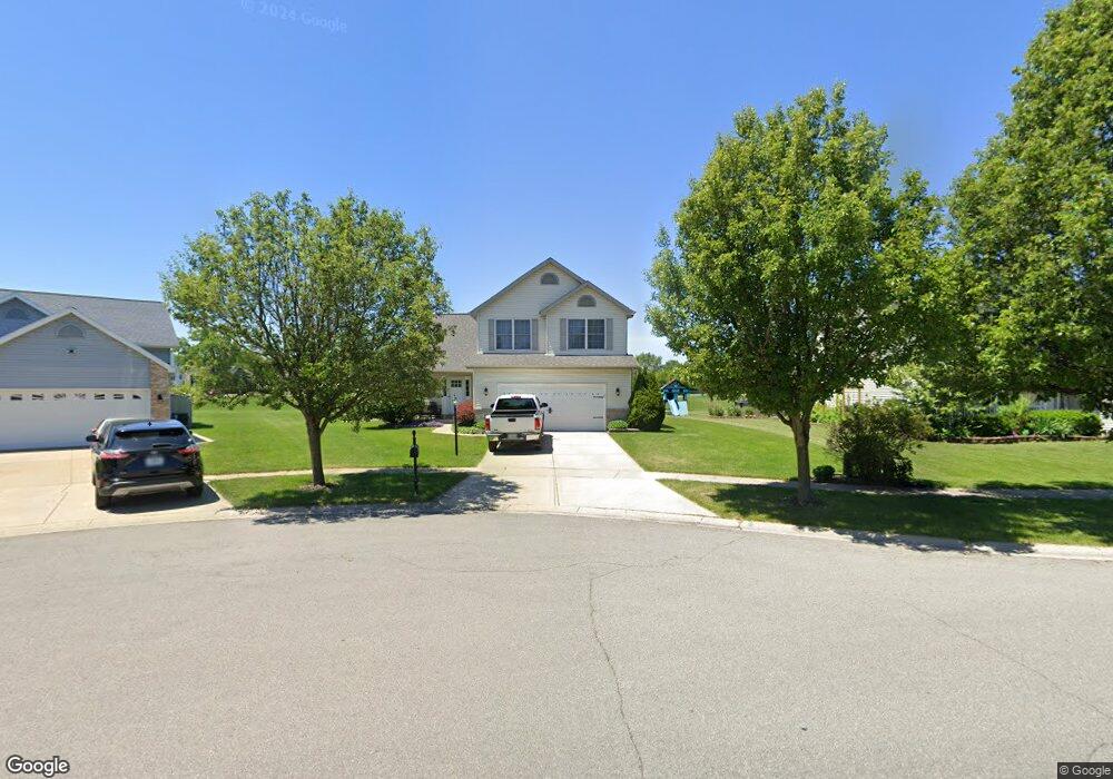
1540 Maximilian Dr Chesterton, IN 46304
Estimated Value: $371,000 - $409,000
3
Beds
3
Baths
1,680
Sq Ft
$232/Sq Ft
Est. Value
About This Home
This home is located at 1540 Maximilian Dr, Chesterton, IN 46304 and is currently estimated at $389,233, approximately $231 per square foot. 1540 Maximilian Dr is a home located in Porter County with nearby schools including Westchester Intermediate School, Bailly Elementary School, and Chesterton Middle School.
Ownership History
Date
Name
Owned For
Owner Type
Purchase Details
Closed on
May 15, 2017
Sold by
Hammonds Wendy S and Hammonds Dwayne
Bought by
Hammonds Duane A and Hammonds Wendy S
Current Estimated Value
Home Financials for this Owner
Home Financials are based on the most recent Mortgage that was taken out on this home.
Original Mortgage
$172,200
Interest Rate
4.08%
Mortgage Type
New Conventional
Create a Home Valuation Report for This Property
The Home Valuation Report is an in-depth analysis detailing your home's value as well as a comparison with similar homes in the area
Home Values in the Area
Average Home Value in this Area
Purchase History
| Date | Buyer | Sale Price | Title Company |
|---|---|---|---|
| Hammonds Duane A | -- | Liberty Title |
Source: Public Records
Mortgage History
| Date | Status | Borrower | Loan Amount |
|---|---|---|---|
| Closed | Hammonds Duane A | $172,200 |
Source: Public Records
Tax History Compared to Growth
Tax History
| Year | Tax Paid | Tax Assessment Tax Assessment Total Assessment is a certain percentage of the fair market value that is determined by local assessors to be the total taxable value of land and additions on the property. | Land | Improvement |
|---|---|---|---|---|
| 2024 | $3,810 | $339,000 | $47,300 | $291,700 |
| 2023 | $3,790 | $326,500 | $43,800 | $282,700 |
| 2022 | $3,469 | $301,200 | $43,800 | $257,400 |
| 2021 | $3,264 | $277,200 | $43,800 | $233,400 |
| 2020 | $3,070 | $260,700 | $38,100 | $222,600 |
| 2019 | $2,765 | $234,700 | $38,100 | $196,600 |
| 2018 | $2,731 | $225,900 | $38,100 | $187,800 |
| 2017 | $2,725 | $223,500 | $38,100 | $185,400 |
| 2016 | $2,415 | $215,700 | $38,000 | $177,700 |
| 2014 | $2,352 | $206,900 | $36,000 | $170,900 |
| 2013 | -- | $196,600 | $36,200 | $160,400 |
Source: Public Records
Map
Nearby Homes
- 2132 Pradera Trail
- 2218 Pradera Trail
- 2179 W 1100 N
- 2350 Pradera Trail
- 2034 Texas St
- 2420 Pradera Trail
- 1949 David Dr
- 2500 Pradera Trail
- 2519 Pradera Trail
- 2111 Tupelo Ln
- 1978 Laura Ln
- 2121 Tupelo Ln
- 1108 Saratoga Ln
- 1730 S 11th St
- 2114 Tupelo Ln
- 1521 Birdie Way
- 1032 Preserve Ln
- 1005 Preserve Ln
- 1038 N Meridian Rd
- 0 W 1050 N
- 1530 Maximilian Dr
- 1951 Jacob Ln
- 1945 Jacob Ln
- 1520 Maximilian Dr
- 1940 Jacob Ln
- 1939 Jacob Ln
- 1932 Jacob Ln
- 1933 Jacob Ln
- 1515 Maximilian Dr
- 1926 Jacob Ln
- 1500 Maximilian Dr
- 1927 Jacob Ln
- 1501 Maximilian Dr
- 1920 Jacob Ln
- 1921 Jacob Ln
- 1480 Maximilian Dr
- 1481 Maximilian Dr
- 1914 Jacob Ln
- 1915 Jacob Ln
- 1470 Maximilian Dr