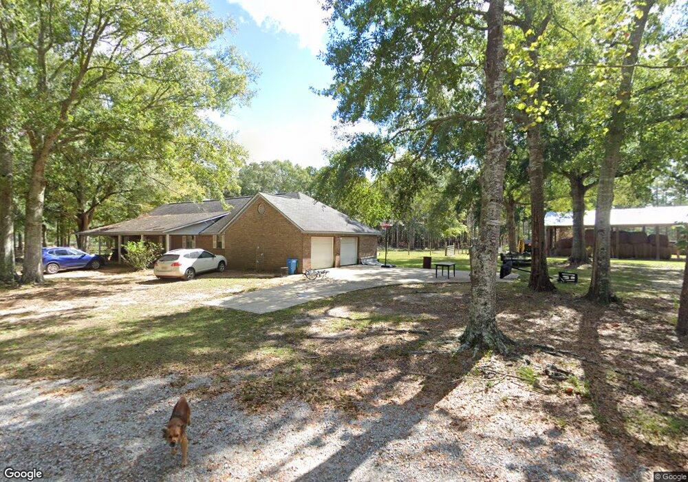
15400 Lambert Rd Moss Point, MS 39562
Estimated Value: $190,192 - $242,000
Studio
2
Baths
1,643
Sq Ft
$138/Sq Ft
Est. Value
About This Home
This home is located at 15400 Lambert Rd, Moss Point, MS 39562 and is currently estimated at $227,298, approximately $138 per square foot. 15400 Lambert Rd is a home located in Jackson County with nearby schools including East Central Lower Elementary School, East Central Upper Elementary School, and East Central Middle School.
Ownership History
Date
Name
Owned For
Owner Type
Purchase Details
Closed on
Dec 20, 2006
Sold by
Lambert Norwood Leon and Lambert Cheryl D
Bought by
Nelson Eric Samuel and Nelson Suzette Cheri
Current Estimated Value
Home Financials for this Owner
Home Financials are based on the most recent Mortgage that was taken out on this home.
Original Mortgage
$104,000
Outstanding Balance
$60,172
Interest Rate
6.1%
Estimated Equity
$167,126
Create a Home Valuation Report for This Property
The Home Valuation Report is an in-depth analysis detailing your home's value as well as a comparison with similar homes in the area
Purchase History
| Date | Buyer | Sale Price | Title Company |
|---|---|---|---|
| Nelson Eric Samuel | -- | -- |
Source: Public Records
Mortgage History
| Date | Status | Borrower | Loan Amount |
|---|---|---|---|
| Open | Nelson Eric Samuel | $104,000 |
Source: Public Records
Tax History
| Year | Tax Paid | Tax Assessment Tax Assessment Total Assessment is a certain percentage of the fair market value that is determined by local assessors to be the total taxable value of land and additions on the property. | Land | Improvement |
|---|---|---|---|---|
| 2025 | $978 | $10,752 | $726 | $10,026 |
| 2024 | $978 | $10,311 | $707 | $9,604 |
| 2023 | $938 | $10,311 | $707 | $9,604 |
| 2022 | $903 | $10,311 | $707 | $9,604 |
| 2021 | $909 | $10,373 | $707 | $9,666 |
| 2020 | $887 | $9,827 | $642 | $9,185 |
| 2019 | $874 | $9,827 | $642 | $9,185 |
| 2018 | $897 | $9,827 | $642 | $9,185 |
| 2017 | $917 | $9,827 | $642 | $9,185 |
| 2016 | $869 | $9,827 | $642 | $9,185 |
| 2015 | $790 | $91,150 | $6,420 | $84,730 |
| 2014 | $810 | $9,452 | $642 | $8,810 |
| 2013 | $773 | $9,452 | $642 | $8,810 |
Source: Public Records
Map
Nearby Homes
- 0 Ms-613 Hwy Unit 4116583
- 0 Ms-613 Hwy Unit 4107607
- 0 Ms-613 Hwy Unit 4107612
- 0 Ms-613 Hwy Unit 4116582
- 0 Perry St
- 0 Grafe Homestead Rd Unit 4137349
- 13600 Reservoir Rd E
- 14004 Timber Ridge Dr
- 0 R B Dickerson Rd
- 0 Big Point Unit 4125782
- 26.1 Acres Brinkman Rd E
- 13875 Wolf Ridge Rd Unit LotWP001
- 13875 Wolf Ridge Rd
- 13111 Maida Hurd Rd
- 7201 Bentwood Dr
- 14004 Ann Rd
- 17500 Goff Farm Rd
- 4432 Lily Patch Ln
- 14015 Lily Orchard Rd
- 3016 Ed Parker Rd
- 15401 Lambert Rd
- 15424 Paul Coleman Rd
- 15421 Paul Coleman Rd
- 15504 Paul Coleman Rd
- 6100 Big Point Rd
- 0 Hardy Waltman Rd
- 15525 Hardy Waltman Rd
- 15613 Vera Coleman Rd
- 6350 Big Point Rd
- 15524 Paul Coleman Rd
- 15523 Paul Coleman Rd
- 15305 Hardy Waltman Rd
- 6006 Big Point Rd
- 15417 Hardy Waltman Rd
- 15709 Vera Coleman Rd
- 5800 Big Point Rd
- 0 Paul Coleman Rd
- 15610 Paul Coleman Rd
- 15500 Hardy Waltman Rd
- 15325 Hardy Waltman Rd
Your Personal Tour Guide
Ask me questions while you tour the home.