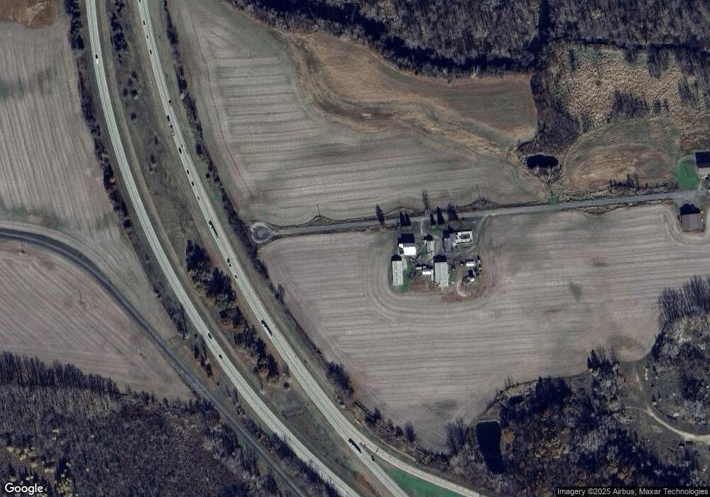
15400 W Dr S Tekonsha, MI 49092
Estimated Value: $281,000 - $784,928
--
Bed
--
Bath
2,292
Sq Ft
$233/Sq Ft
Est. Value
About This Home
This home is located at 15400 W Dr S, Tekonsha, MI 49092 and is currently estimated at $532,964, approximately $232 per square foot. 15400 W Dr S is a home with nearby schools including Tekonsha High School.
Ownership History
Date
Name
Owned For
Owner Type
Purchase Details
Closed on
Mar 25, 2013
Sold by
Phelps Eric and Phelps Bertha A
Bought by
Phelps Eric J and Phelps Bertha A
Current Estimated Value
Home Financials for this Owner
Home Financials are based on the most recent Mortgage that was taken out on this home.
Original Mortgage
$127,000
Interest Rate
3.46%
Mortgage Type
New Conventional
Purchase Details
Closed on
Jun 27, 2006
Sold by
Phelps Edward J and Phelps Ladeama L
Bought by
Phelps Eric and Woods Stacy
Purchase Details
Closed on
Aug 1, 1996
Sold by
Phelps Oliver J and Phelps Nettie
Bought by
Phelps Edward J and Phelps Ladeama
Create a Home Valuation Report for This Property
The Home Valuation Report is an in-depth analysis detailing your home's value as well as a comparison with similar homes in the area
Home Values in the Area
Average Home Value in this Area
Purchase History
| Date | Buyer | Sale Price | Title Company |
|---|---|---|---|
| Phelps Eric J | -- | None Available | |
| Phelps Eric | -- | Calhoun Title & Escrow | |
| Phelps Edward J | -- | -- |
Source: Public Records
Mortgage History
| Date | Status | Borrower | Loan Amount |
|---|---|---|---|
| Closed | Phelps Eric J | $127,000 |
Source: Public Records
Tax History Compared to Growth
Tax History
| Year | Tax Paid | Tax Assessment Tax Assessment Total Assessment is a certain percentage of the fair market value that is determined by local assessors to be the total taxable value of land and additions on the property. | Land | Improvement |
|---|---|---|---|---|
| 2025 | $5,495 | $443,100 | $0 | $0 |
| 2024 | $2,076 | $396,350 | $0 | $0 |
| 2023 | $4,866 | $373,850 | $0 | $0 |
| 2022 | $1,863 | $363,600 | $0 | $0 |
| 2021 | $4,619 | $345,850 | $0 | $0 |
| 2020 | $4,659 | $338,550 | $0 | $0 |
| 2019 | $0 | $343,750 | $0 | $0 |
| 2018 | $0 | $347,250 | $283,600 | $63,650 |
| 2017 | $0 | $324,200 | $0 | $0 |
| 2016 | $0 | $346,450 | $0 | $0 |
| 2015 | -- | $327,050 | $0 | $0 |
| 2014 | -- | $307,850 | $0 | $0 |
Source: Public Records
Map
Nearby Homes
- 330 S Church St
- 207 N Main St
- 703 N Church St
- 1246 Vincent Lake Ln
- 370 Kowalski Dr
- 15277 Michigan 60
- 1120 N Marshall Rd
- 435 E Girard Rd
- 381 E Leroy St
- 345 E Leroy St
- 325 E Leroy St
- 4600 11 Mile Rd
- 9999 N-Drive S
- 315 E Leroy St
- 970 Dean Rd
- 107 W Girard Rd
- 787 Doves Landing
- 141 W Union City Rd
- 740 N Hawley Dr
- 734 N Hawley Dr
- 520 Us Highway 27 S
- 15601 W Dr S
- Land Marshall Rd
- 161 Meadow Ln
- 163 Meadow Ln
- 430 S Church St
- 151 Meadow Ln
- 152 Meadow Ln
- 110 Us Highway 27 S
- 145 Meadow Ln
- 475 S County Line Rd
- 148 Meadow Ln
- 330 S Main St
- 325 S Church St
- 140 Meadow Ln
- 15773 S County Line Rd
- 266 S Main St
- 131 Meadow Ln
- 136 Meadow Ln
- 228 S Main St